Temple Basin
Alpes du Sud › Main Divide of The Southern Alps
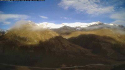
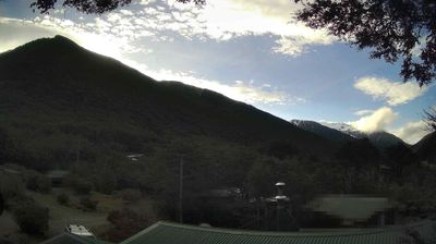
Webcam en direct
Bulletin d'enneigement
- Dernières 24h (1574 m): 0 cm
- Dernières 72h (1574 m): 0 cm
- 7 derniers jours: Sommet (1829 m) 0cm · Mi-montagne (1574 m) 0cm · Vallée (1318 m) 0cm
- Cumul de saison (1574 m): 214 cm
Domaines skiables ouverts maintenant · Bulletin d'enneigement
About Temple Basin
A raw, club-run outpost where rugged hikers and purist riders carry their own gear to reach untouched Southern Alps terrain.
Highlights
- Goods lift access
- Backcountry purism
- Rustic lodge culture
- High-altitude hiking
Key Facts
- Altitude: 1318m
- Top lift: 1829m
- Ski pistes: 9.6km
- Ski lifts: 3
- Lakes nearby: 4
- Mountain huts: 5
Ski Area
Weather and 10-day forecast for Temple Basin
- Today: -2 to 7 °C, overcast, 5 h of sunshine
- Freezing level today: about 2835 m (1870 to 3300 m)
| Day | Min / max | Sky | Precipitation | Sunshine |
|---|---|---|---|---|
| mar. 17 nov. | -2 / 7 °C | overcast | dry | 5 h sun |
| mer. 18 nov. | 0 / 7 °C | drizzle | dry | 3 h sun |
| jeu. 19 nov. | -2 / 9 °C | partly cloudy | dry | 8 h sun |
| ven. 20 nov. | 0 / 7 °C | drizzle | dry | 1 h sun |
| sam. 21 nov. | 1 / 9 °C | drizzle | dry | 2 h sun |
| dim. 22 nov. | 2 / 7 °C | drizzle | dry | 1 h sun |
| lun. 23 nov. | 2 / 11 °C | partly cloudy | dry | 8 h sun |
| mar. 24 nov. | 2 / 8 °C | drizzle | dry | 13 h sun |
| mer. 25 nov. | 2 / 7 °C | rain showers | dry | 5 h sun |
| jeu. 26 nov. | -1 / 13 °C | clear sky | dry | 13 h sun |
Things to do in Temple Basin
Hikes nearby - Temple Basin (9)
9 curated hiking trails around Temple Basin, sourced from OpenStreetMap and enriched with distance, elevation gain and difficulty.
-
Temple Basin
path nr.35 from Rother Wanderführer, Neuseeland
-
Mount Aicken
path nr.38 from Rother Wanderführer, Neuseeland
-
Avalanche Peak
path nr.36 from Rother Wanderführer, Neuseeland
-
Mount Bealey
path nr.37 from Rother Wanderführer, Neuseeland
-
Ōtira Valley Track
-
Mingha Track
-
Edwards - Hawdon Route
-
Carrington Hut Route
-
TA08a Boyle Village to Arthurs Pass
Getting to Temple Basin
Door-to-door travel times as used by the MR. ALPS ranking.
- Nearest airport: Hokitika Airfield (HKK), 53 km away, about 1h16 by road