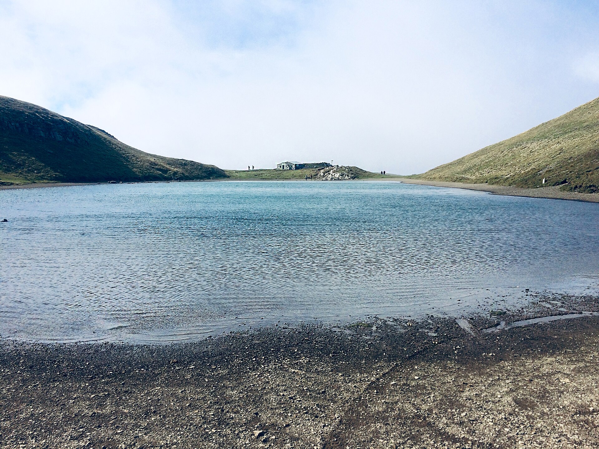
Corno alle Scale
Apennins › Apennins Tosco-Émiliens
Webcam en direct


Remontées ouvertes: 0/6
Bulletin d'enneigement
- Dernières 24h (1679 m): 0 cm
- Dernières 72h (1679 m): 0 cm
- 7 derniers jours: Sommet (1940 m) 1cm · Mi-montagne (1679 m) 0cm · Vallée (1417 m) 1cm
- Cumul de saison (1679 m): 0 cm
Domaines skiables ouverts maintenant · Bulletin d'enneigement
About Corno alle Scale
A rugged Apennine escape where wild ridge hikes meet the hearty, chestnut-infused culinary traditions of Emilia-Romagna.
Highlights
- Panoramic ridge trails
- Stone-built hamlets
- Regional slow food
- Wild blueberry slopes
Key Facts
- Altitude: 1417m
- Top lift: 1940m
- Ski pistes: 14.4km
- Ski lifts: 6
- MTB trails: 143.5km
- Mountain huts: 19
Ski Area
Weather and 10-day forecast for Corno alle Scale
- Today: 3 to 6 °C, partly cloudy, 5 h of sunshine
- Freezing level today: about 2550 m (2180 to 3170 m)
| Day | Min / max | Sky | Precipitation | Sunshine |
|---|---|---|---|---|
| lun. 16 nov. | 3 / 6 °C | partly cloudy | dry | 5 h sun |
| mar. 17 nov. | 3 / 8 °C | rain showers | dry | 0 h sun |
| mer. 18 nov. | 5 / 9 °C | partly cloudy | dry | 4 h sun |
| jeu. 19 nov. | 3 / 7 °C | rain | dry | 0 h sun |
| ven. 20 nov. | 2 / 6 °C | partly cloudy | dry | 5 h sun |
| sam. 21 nov. | 1 / 8 °C | clear sky | dry | 9 h sun |
| dim. 22 nov. | 3 / 7 °C | rain showers | dry | 1 h sun |
| lun. 23 nov. | -5 / 6 °C | clear sky | dry | 7 h sun |
| mar. 24 nov. | -6 / 1 °C | clear sky | dry | 8 h sun |
| mer. 25 nov. | -7 / 0 °C | clear sky | dry | 6 h sun |
Things to do in Corno alle Scale
Hikes nearby - Corno alle Scale (18)
18 curated hiking trails around Corno alle Scale, sourced from OpenStreetMap and enriched with distance, elevation gain and difficulty.
-
E1 Toscana 10 Lago Scaffaiolo - Pracchia
-
E1 Toscana 09 Abetone Boscolungo - Lago Scaffaiolo
-
Grande Escursione Appenninica - Tappa 13
-
Grande Escursione Appenninica - Tappa 14
-
RDM-Cammino Radio Dimensione Musica
Cammino ad anello con partenza e arrivo a Silla presso la sede della Radio Diffusione Musica (RDM)
-
Sentiero degli amici
Rifugio Segavecchia - Bivio con percorso 119 - Innesto percorso 129 per il Monte La Nuda
-
Sentiero "Ruffo" del Poggio di Mezzo
-
Pracchia - Abetone
-
Alta via dei Parchi: Tappa 10
-
Alta via dei Parchi: Tappa 09
-
Cammino di San Bartolomeo - VARIANTE di Mammiano
-
Percorso Rosso - Museo Linea Gotica Pianosinatico
-
Rivoreta - Le Regine
-
Percorso Arancione - Sentiero della Germanica Squadriglia
-
Cammino di San Bartolomeo - VARIANTE di San Marcello
-
Giro dei Metati
-
Alta Via dei Parchi: Tappa 11
-
Le antiche via di Capugnano
Percorso ad anello per le antiche vie e gli antichi borghi di Capugnano.
VTT près de Corno alle Scale
- Alta Via dei Parchi MTB - Tappa 9
- Str 1F Della Sorgente Calanca
Getting to Corno alle Scale
Door-to-door travel times as used by the MR. ALPS ranking.
- Nearest airport: Florence Airport, Peretola (FLR), 47 km away, about 1h52 by road
- Bologna: 1h43 by car, 82 km
- Verona: 2h49 by car, 190 km
- Padova: 2h50 by car, 204 km
- Brescia: 3h19 by car, 241 km
- Milano: 3h30 by car, 260 km
- Trento: 3h33 by car, 274 km
Where to stay in Corno alle Scale
90 places to stay for a night on 2026-11-20, from 87 EUR per night, median 113 EUR. Prices are direct with hotels and destinations, compared live on the Corno alle Scale page.