Buffaure - Ciampac
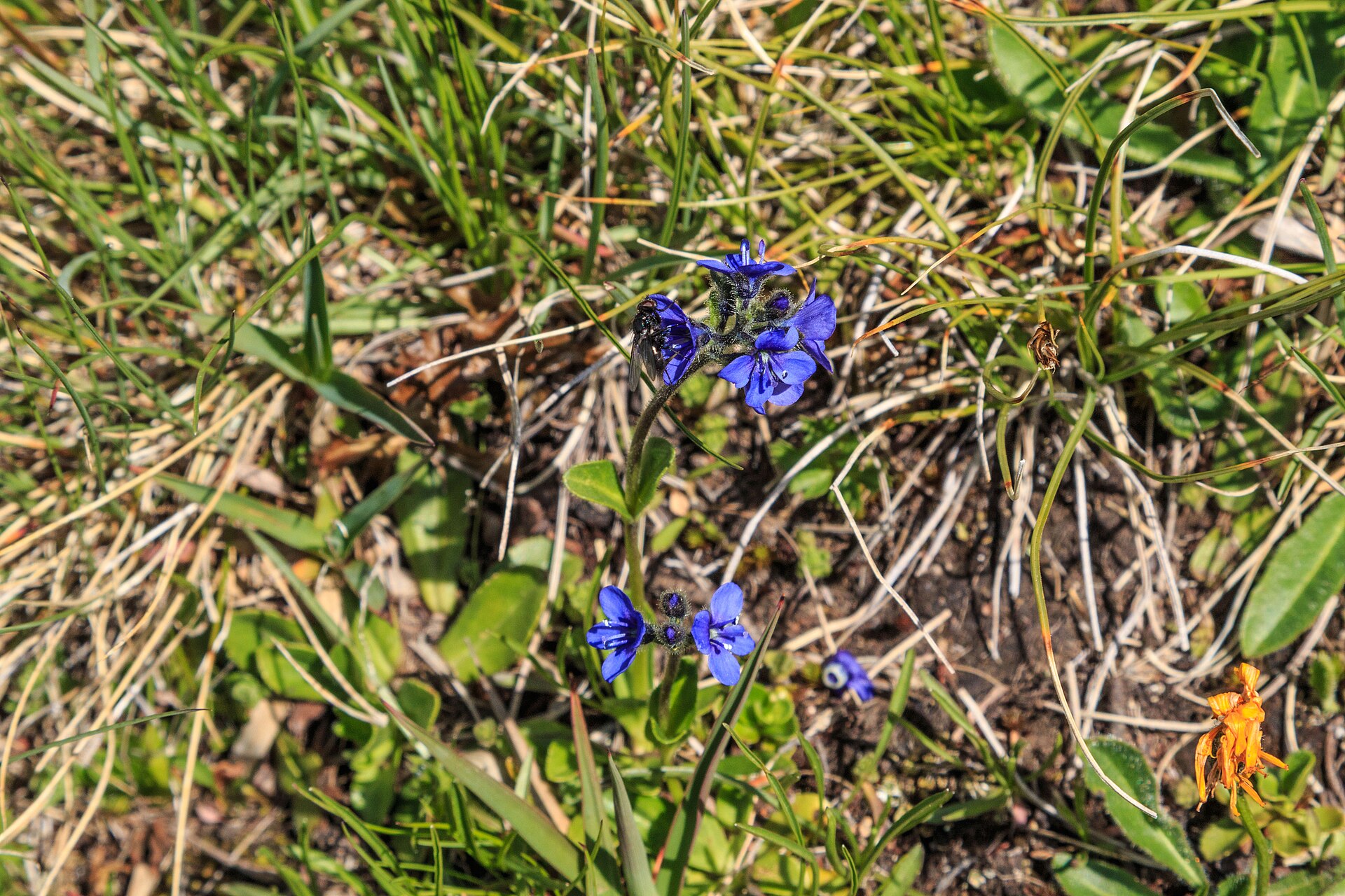
About Buffaure - Ciampac
A panoramic Ladin stronghold in the Fassa Valley, where volcanic peaks meet limestone spires and family-run rifugios define the pace.
Highlights
- Volcanic rock landscapes
- Ladin mountain culture
- High-altitude playgrounds
- Panoramic ridge trails
Key Facts
- Altitude: 1332m
- Top lift: 2435m
- Ski pistes: 25.7km
- Ski lifts: 13
- Lakes nearby: 10
- MTB trails: 60.2km
- Mountain huts: 88
Ski Area
Weather and 10-day forecast for Buffaure - Ciampac
- Today: 7 to 18 °C, clear sky, 9 h of sunshine
- Freezing level today: about 4118 m (3860 to 4300 m)
| Day | Min / max | Sky | Precipitation | Sunshine |
|---|---|---|---|---|
| dim. 20 sept. | 7 / 18 °C | clear sky | dry | 9 h sun |
| lun. 21 sept. | 7 / 15 °C | overcast | dry | 3 h sun |
| mar. 22 sept. | 3 / 12 °C | clear sky | dry | 13 h sun |
| mer. 23 sept. | 2 / 13 °C | clear sky | dry | 12 h sun |
| jeu. 24 sept. | 3 / 14 °C | clear sky | dry | 12 h sun |
| ven. 25 sept. | 4 / 16 °C | overcast | dry | 1 h sun |
| sam. 26 sept. | 6 / 17 °C | clear sky | dry | 11 h sun |
| dim. 27 sept. | 7 / 15 °C | partly cloudy | dry | 4 h sun |
| lun. 28 sept. | 6 / 18 °C | clear sky | dry | 11 h sun |
| mar. 29 sept. | 8 / 18 °C | partly cloudy | dry | 6 h sun |
Things to do in Buffaure - Ciampac
Hikes nearby — Buffaure - Ciampac (17)
17 curated hiking trails around Buffaure - Ciampac, sourced from OpenStreetMap and enriched with distance, elevation gain and difficulty.
-
Via Alpina Yellow B25
Rifugio Antermoia - Schlernhaus / Rifugio Bolzano
-
Dolomites World Heritage Geotrail 9
-
Dolomites World Heritage Geotrail 10
-
Alta via n. 9 delle Dolomiti - Dolomiten-Höhenweg Nr. 9
L’Alta via delle Dolomiti n. 9, chiamata anche La trasversale, è un percorso di circa 150 km che parte da Danta - Santo Stefano di Cadore, in provincia di Belluno, e arriva a Bagni di Lavinia Bianca - Tires, in provincia di Bolzano.
-
Via ferrata delle Scalette
Le Sentiero Attrezzato delle Scalette est l'itinéraire le plus rapide depuis le Rifugio Gardeccia (1949 m) vers les vallées sauvages et reculées du Larsec et du Laussa, au cœur du massif dolomitique du Catinaccio. Les vallées supérieures sont ouvertes et exposées, pouvant devenir hostiles si le temps se dégrade soudainement — ce qui en fait une première expérience idéale des sentiers équipés pour ceux qui ne possèdent pas de compétences techniques particulières.
-
Alta via dei Fassani
L'Alta Via dei Fassani sert d'itinéraire de retour à travers l'alpage Malga Vael en direction du téléphérique de Vigo di Fassa, offrant des vues sur le massif du Rosengarten sur un sentier plus calme et moins fréquenté à travers les Dolomites.
-
Vial de la Feide
-
N01
-
Sentiero del Masarè - Hirzelsteig
Le Sentiero del Masarè | Hirzelsteig relie le Refuge Paolina au terrain dolomitique environnant, offrant des paysages spectaculaires tout au long de son parcours.
-
Sagenweg
-
Troi de Pozil
-
Dolomites World Heritage Geotrail 39
-
Via Alpina Yellow B22
Passo Pordoi - Rifugio Contrin
-
Dolomites World Heritage Geotrail 40
-
Dolomites World Heritage Geotrail 42
-
Sentiero Camosci
-
Col Pelous
Mountain biking near Buffaure - Ciampac
- SICAI Ciclo
- Sentiero forestale per Lagusel
Getting to Buffaure - Ciampac
Door-to-door travel times as used by the MR. ALPS ranking.
- Nearest airport: Innsbruck Airport (INN), 96 km away, about 2h43 by road
- Bolzano - Bozen: 2h07 by car, 58 km
- Trento: 2h41 by car, 110 km
- Innsbruck: 3h15 by car, 149 km
- Verona: 3h39 by car, 206 km
- Padova: 3h54 by car, 210 km
- Brescia: 4h10 by car, 241 km
Where to stay in Buffaure - Ciampac
200 places to stay for a night on 2026-09-25, from 178 EUR per night, median 363 EUR. Prices are direct with hotels and destinations, compared live on the Buffaure - Ciampac page.