Oberaurach
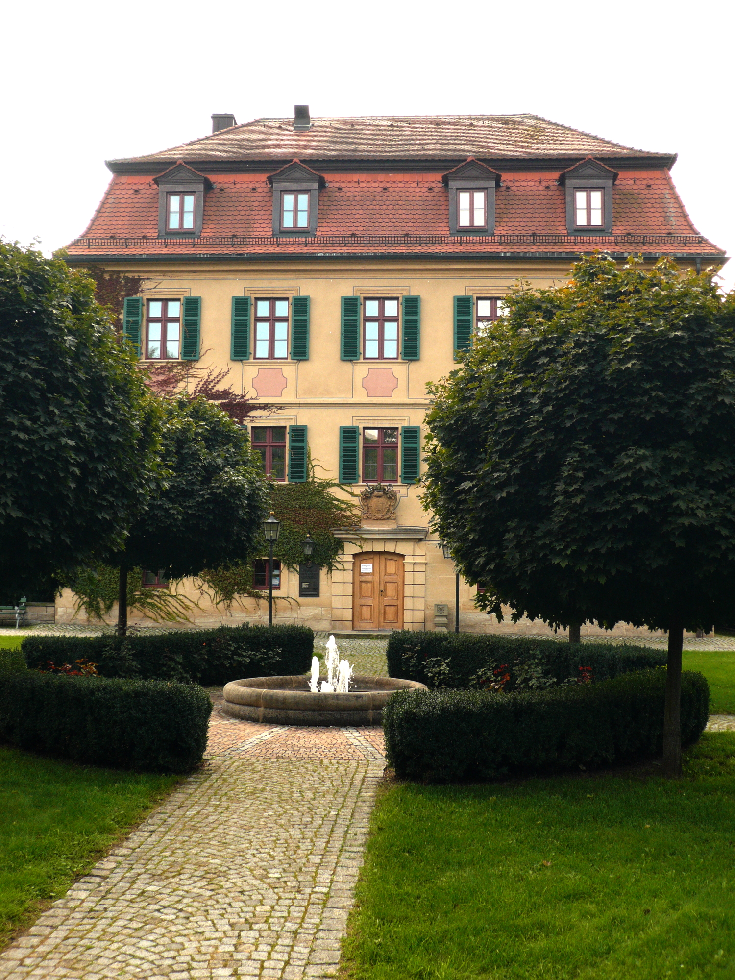
About Oberaurach
A tranquil Franconian retreat where rolling forested hills meet a deep-rooted tradition of artisanal brewing and half-timbered charm.
Highlights
- Steigerwald forest trails
- Franconian beer culture
- Half-timbered architecture
- Rural hiking paths
Key Facts
- Altitude: 379m
- Ski lifts: 1
- Lakes nearby: 26
- MTB trails: 12.5km
Ski Area
Weather and 9-day forecast for Oberaurach
- Today: 8 to 12 °C, rain showers, 0 h of sunshine
- Freezing level today: about 1750 m
| Day | Min / max | Sky | Precipitation | Sunshine |
|---|---|---|---|---|
| mer. 18 nov. | 8 / 12 °C | rain showers | dry | 0 h sun |
| jeu. 19 nov. | 6 / 9 °C | rain showers | dry | 0 h sun |
| ven. 20 nov. | 7 / 9 °C | rain showers | dry | 0 h sun |
| sam. 21 nov. | 0 / 7 °C | rain | dry | 6 h sun |
| dim. 22 nov. | -1 / 4 °C | clear sky | dry | 7 h sun |
| lun. 23 nov. | -4 / 3 °C | overcast | dry | 2 h sun |
| mar. 24 nov. | 1 / 4 °C | rain | dry | 1 h sun |
| mer. 25 nov. | 0 / 5 °C | overcast | dry | 1 h sun |
| jeu. 26 nov. | 0 / 4 °C | overcast | dry | 1 h sun |
Things to do in Oberaurach
Hikes nearby - Oberaurach (9)
9 curated hiking trails around Oberaurach, sourced from OpenStreetMap and enriched with distance, elevation gain and difficulty.
-
Von Eltmann nach Maria Limbach
-
Biotoplehrpfad Zabelstein
-
Erlebnistour - Rund um die Hohe Wann
-
Ebelsbach/Zeil Weintal-Route
-
Abt-Degen-Steig
-
Eichhörnchen-Wanderweg Zeil
-
Bischofsheimer Forstweg
-
Güterwald
-
Heilig-Länder-Runde
VTT près de Oberaurach
- Eberhardtrail Teil2
- Hohlweg
Getting to Oberaurach
Door-to-door travel times as used by the MR. ALPS ranking.
- Nearest airport: Nuremberg Airport (NUE), 60 km away, about 1h08 by road
- Nürnberg: 1h10 by car, 93 km
- Frankfurt am Main: 2h04 by car, 191 km
- Stuttgart: 2h22 by car, 213 km
- Mannheim: 2h33 by car, 244 km
- München: 2h46 by car, 260 km
- Koblenz: 3h07 by car, 304 km