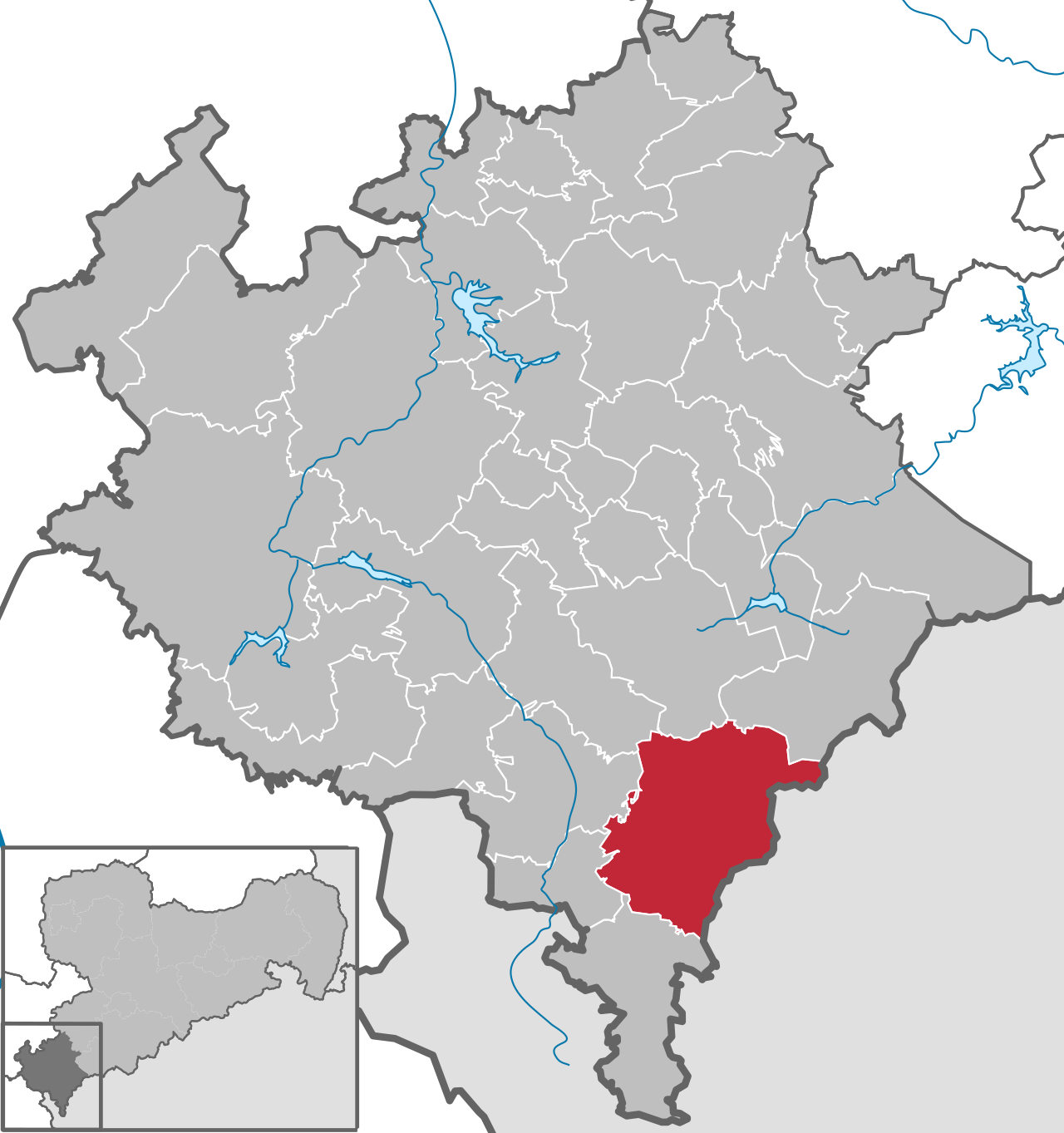
Markneukirchen
Webcam en direct


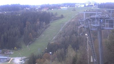


Remontées ouvertes: 0/3
Bulletin d'enneigement
- Dernières 24h (664 m): 0 cm
- Dernières 72h (664 m): 0 cm
- 7 derniers jours: Sommet (747 m) 0cm · Mi-montagne (664 m) 0cm · Vallée (580 m) 0cm
- Cumul de saison (664 m): 0 cm
Domaines skiables ouverts maintenant · Bulletin d'enneigement
About Markneukirchen
A refined Saxon corner where the air hums with a centuries-old legacy of artisanal instrument making and orchestral heritage.
Highlights
- Musical instrument workshops
- Orchestral craft history
- Rolling Saxon hills
- Vogtland cultural tradition
Key Facts
- Altitude: 580m
- Top lift: 747m
- Ski pistes: 2.4km
- Ski lifts: 3
- Lakes nearby: 21
- MTB trails: 224.3km
Ski Area
Weather and 10-day forecast for Markneukirchen
- Today: 3 to 9 °C, rain, 0 h of sunshine
- Freezing level today: about 1806 m (1260 to 2430 m)
| Day | Min / max | Sky | Precipitation | Sunshine |
|---|---|---|---|---|
| mar. 17 nov. | 3 / 9 °C | rain | dry | 0 h sun |
| mer. 18 nov. | 5 / 7 °C | rain showers | dry | 0 h sun |
| jeu. 19 nov. | 4 / 6 °C | rain | dry | 1 h sun |
| ven. 20 nov. | 2 / 5 °C | rain | dry | 0 h sun |
| sam. 21 nov. | -1 / 3 °C | snow showers | dry | 3 h sun |
| dim. 22 nov. | -4 / 1 °C | partly cloudy | dry | 4 h sun |
| lun. 23 nov. | -5 / 1 °C | clear sky | dry | 9 h sun |
| mar. 24 nov. | -5 / 2 °C | clear sky | dry | 7 h sun |
| mer. 25 nov. | -1 / 2 °C | partly cloudy | dry | 3 h sun |
| jeu. 26 nov. | -1 / 3 °C | overcast | dry | 1 h sun |
Things to do in Markneukirchen
Hikes nearby - Markneukirchen (20)
20+ curated hiking trails around Markneukirchen, sourced from OpenStreetMap and enriched with distance, elevation gain and difficulty.
-
Von Bad Brambach nach Siebenbrunn
-
Kammweg Etappe 14 "Von Schoeneck nach Eichigt"
-
Zwota-Kottenheide-Zwota
-
Bergbauhistorische Wanderung Görnitzbachtal
-
Vogtland Panorama Weg® - Etappe 7 (Bad Brambach - Markneukirchen)
-
Vogtland Panorama Weg® - Etappe 9 (Erlbach - Klingenthal)
-
Elstergebirgsweg
-
TagesTour Kammweg 29 Bergbauhistorische Wanderung im Bergbaugebiet Görnitzbachtal 9km
-
Wanderung von Schöneck auf Kammweg und VPW nach Bad Elster
-
Rund um Bad Elster: Mühlhausen - Remtengrün - Aussichtsreich!
-
Markneukirchen Nordrundwanderung
-
Schau ins Oberland - Bergläufe
-
Über Hohen Stein/Vysoky Kamen und Kegelberg
-
Rundweg Höhensteig Klingenthal - Tagesrundtour ab Mühlleithen
-
MSV Medien - Erlbacher Bergweg (verkürzte Variante, mit Abstecher zum Hohen Stein)
-
Besinnungsweg - Kleine Tour
-
"Höhensteig" Rundweg Klingenthal
-
TagesTour Kammweg 31 Von Muldenberg über Schöneck nach Klingenthal 20km
-
Rundweg Adorf-Siebenbrunn-Remtengrün-Adorf
-
Rundtour am Elstergebirgsweg
VTT près de Markneukirchen
- MTB-Runde: Erlbach - Klingenthal - Schöneck - Mühlental - Erlbach
- MTB-Tour Schöneck - Talsperre Muldenberg - Vogtland Arena - Mühlleithen - Schneckenstein - Rissfälle - Schöneck
- MTB-Runde: Schöneck - Klingenthal / Mühlleithen - Schneckenstein - Grünbach - Muldenberg - Schöneck
- MTB2
- MTB1
- Železná opona - 1. pás
- Der rote Säureweg
- MTB3
Getting to Markneukirchen
Door-to-door travel times as used by the MR. ALPS ranking.
- Nearest airport: Karlovy Vary Airport (KLV), 39 km away, about 1h15 by road
- Nürnberg: 2h14 by car, 189 km
- München: 3h26 by car, 291 km
- Frankfurt am Main: 3h55 by car, 370 km
- Berlin: 3h55 by car, 335 km
- Stuttgart: 4h13 by car, 385 km
- Mannheim: 4h24 by car, 416 km
Where to stay in Markneukirchen
87 places to stay for a night on 2026-11-20, from 72 EUR per night, median 88 EUR. Prices are direct with hotels and destinations, compared live on the Markneukirchen page.