Prabouré
Massif Central › Northeastern Massif Central
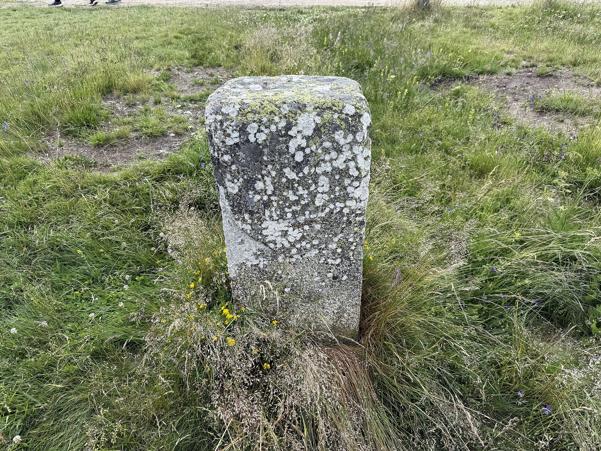
About Prabouré
A rugged mountain park in the Forez range, beloved for its raw volcanic landscapes and high-altitude forest adventures.
Highlights
- Giant zip lines
- Volcanic forest trails
- Summer mountain karting
- Family adventure park
Key Facts
- Altitude: 1249m
- Top lift: 1385m
- Ski pistes: 4.8km
- Ski lifts: 5
- MTB trails: 62.1km
Ski Area
Weather and 9-day forecast for Prabouré
- Today: 4 to 7 °C, overcast, 1 h of sunshine
- Freezing level today: about 2139 m
| Day | Min / max | Sky | Precipitation | Sunshine |
|---|---|---|---|---|
| mer. 18 nov. | 4 / 7 °C | overcast | dry | 1 h sun |
| jeu. 19 nov. | 3 / 5 °C | snow showers | dry | 1 h sun |
| ven. 20 nov. | 3 / 4 °C | rain showers | dry | 1 h sun |
| sam. 21 nov. | 1 / 5 °C | overcast | dry | 1 h sun |
| dim. 22 nov. | 2 / 5 °C | rain | dry | 2 h sun |
| lun. 23 nov. | 0 / 5 °C | partly cloudy | dry | 6 h sun |
| mar. 24 nov. | -1 / 8 °C | drizzle | dry | 1 h sun |
| mer. 25 nov. | -1 / 7 °C | drizzle | dry | 3 h sun |
| jeu. 26 nov. | -2 / 4 °C | snow showers | dry | 0 h sun |
Things to do in Prabouré
Hikes nearby - Prabouré (17)
17 curated hiking trails around Prabouré, sourced from OpenStreetMap and enriched with distance, elevation gain and difficulty.
-
Les Hautes Chaumes
-
Le Colporteur des Jasseries
balisage: lave emaillee petit lapin
-
Les Prats-de-la-Chaux
-
La Vallée de Billeyre
-
Saint Martin Des Olmes
-
Beauvoir
-
Le Sentier de la Vaisse
-
La source de la Jarpe
-
Sur la piste du chevreuil
-
Le long du Batifol
-
Le sentier des Papetiers
-
Le bonheur est dans le bois
-
La Vallee du Fossat - Les Rocher de la Pause
-
Le Rocher de la Volpie
-
La Colline des Peux - Le Vallon de St Nicolas
-
Ambert
-
d'Ambert à Saint-Férréol-des-Côtes
VTT près de Prabouré
- VTT FFC Les Pradeaux N° 24
- VTT FFC Musée Richard de Bas N° 23 -
- Chemin des Reblats
- Goute Noire
- Chemin de Pouteyre
- Chemin des Virands
- Volpie
Getting to Prabouré
Door-to-door travel times as used by the MR. ALPS ranking.
- Nearest airport: Clermont-Ferrand Auvergne airport (CFE), 60 km away, about 1h49 by road
- Saint-Étienne: 1h02 by car, 60 km
- Lyon: 1h55 by car, 120 km
- Grenoble: 2h45 by car, 210 km
- Chambéry: 2h45 by car, 206 km
- Annecy: 3h06 by car, 244 km
- Genève: 3h29 by car, 292 km