Mijoux - La Faucille
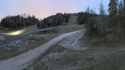
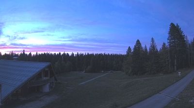
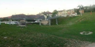
Webcam en direct
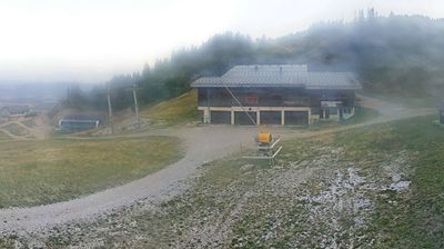
Remontées ouvertes: 0/6
Bulletin d'enneigement
- Dernières 24h (1269 m): 0 cm
- Dernières 72h (1269 m): 0 cm
- 7 derniers jours: Sommet (1541 m) 0cm · Mi-montagne (1269 m) 0cm · Vallée (997 m) 0cm
- Cumul de saison (1269 m): 0 cm
Domaines skiables ouverts maintenant · Bulletin d'enneigement
About Mijoux - La Faucille
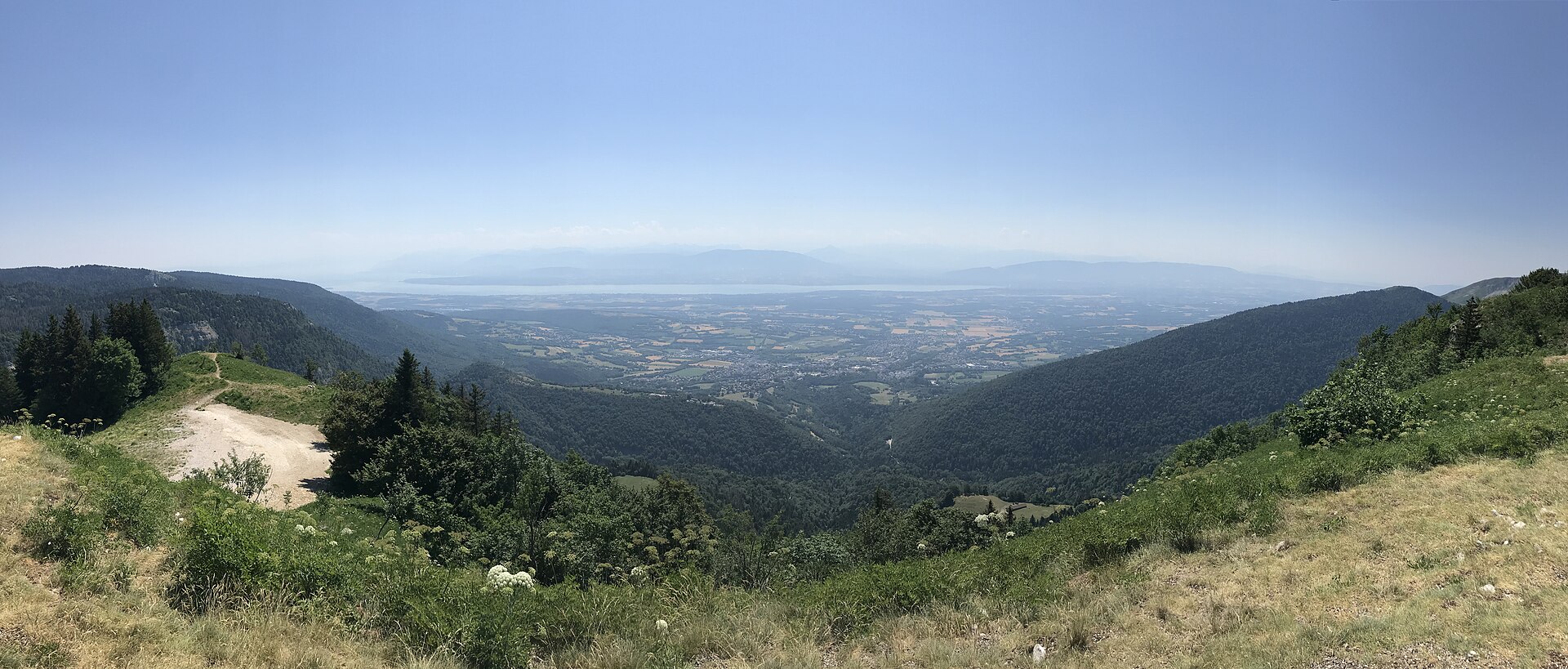
A tranquil Jura gateway offering panoramic views of Lake Geneva and Mont Blanc from the winding curves of a historic mountain pass.
Highlights
- Panoramic ridge trails
- Giant alpine coaster
- Traditional craft workshops
- Cross-country forest tracks
Key Facts
- Altitude: 997m
- Top lift: 1541m
- Ski pistes: 18km
- Ski lifts: 6
- Lakes nearby: 5
- MTB trails: 57.1km
- Mountain huts: 12
Ski Area
Weather and 10-day forecast for Mijoux - La Faucille
- Today: 2 to 6 °C, rain showers, 0 h of sunshine
- Freezing level today: about 1817 m (1540 to 2280 m)
| Day | Min / max | Sky | Precipitation | Sunshine |
|---|---|---|---|---|
| jeu. 19 nov. | 2 / 6 °C | rain showers | dry | 0 h sun |
| ven. 20 nov. | 2 / 4 °C | rain showers | dry | 0 h sun |
| sam. 21 nov. | 1 / 6 °C | rain showers | dry | 2 h sun |
| dim. 22 nov. | 0 / 4 °C | rain | dry | 0 h sun |
| lun. 23 nov. | 0 / 2 °C | partly cloudy | dry | 4 h sun |
| mar. 24 nov. | -1 / 3 °C | overcast | dry | 1 h sun |
| mer. 25 nov. | 3 / 7 °C | overcast | dry | 1 h sun |
| jeu. 26 nov. | -1 / 5 °C | snow | dry | 0 h sun |
| ven. 27 nov. | -1 / 5 °C | drizzle | dry | 8 h sun |
| sam. 28 nov. | 0 / 5 °C | drizzle | dry | 0 h sun |
Things to do in Mijoux - La Faucille
Hikes nearby - Mijoux - La Faucille (14)
14 curated hiking trails around Mijoux - La Faucille, sourced from OpenStreetMap and enriched with distance, elevation gain and difficulty.
-
Chemin des Crêtes du Jura
-
Le Creux de l’Envers
-
Le Colomby de Gex
-
Sentier des Lapidaires
-
Le Mont-Mourex
-
Sentier des Diots
-
Sentier des Chamois du Jura
-
La Dôle
-
Chalet de la Dôle-Le Bauloz
-
Le Bauloz-Bonmont
-
Chemin de la Dôle
-
Jura-Höhenweg: St-Cergue - Nyon
-
Les Arcets
-
Les gorges du Flumen
VTT près de Mijoux - La Faucille
- L’Échappée Jurassienne à vtt-section 6
- Descente La Petite Grand
- Sentier des 32 Contours
- Voie Verte de l'ancienne voie ferrée
- Chemin des Crottes
Getting to Mijoux - La Faucille
Door-to-door travel times as used by the MR. ALPS ranking.
- Nearest airport: Geneva International Airport (GVA), 16 km away, about 50 min by road
- Genève: 46 min by car, 37 km
- Lausanne: 1h07 by car, 76 km
- Annecy: 1h18 by car, 79 km
- Chambéry: 1h43 by car, 123 km
- Lyon: 1h58 by car, 137 km
- Bern: 2h08 by car, 169 km