Parc national de La Jacques-Cartier
Bouclier Canadien › Laurentides
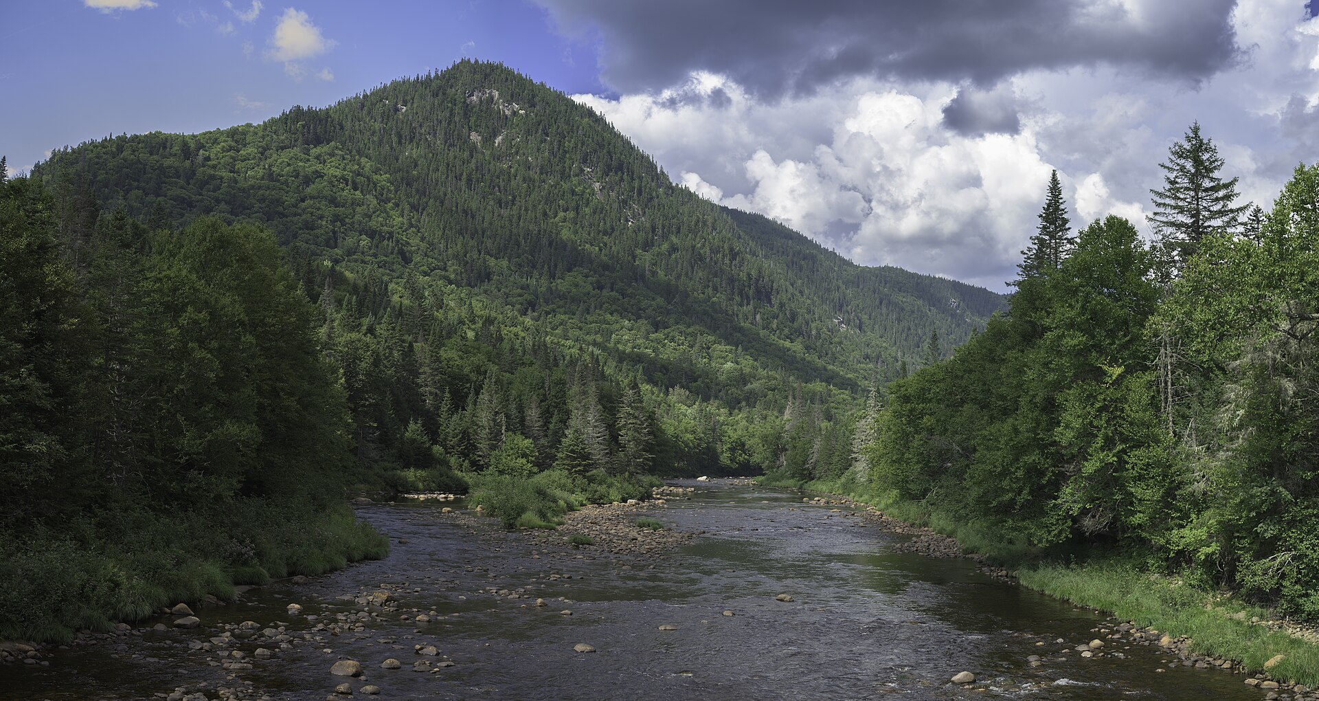
About Parc national de La Jacques-Cartier
A rugged Laurentian wilderness where deep glacial valleys meet the winding river for world-class paddling and hiking.
Highlights
- Glacial valley vistas
- Whitewater river excursions
- Dense maple forests
- Backcountry trail networks
Key Facts
- Altitude: 255m
- Lakes nearby: 72
- MTB trails: 33.5km
Ski Area
Weather and 9-day forecast for Parc national de La Jacques-Cartier
- Today: 4 to 10 °C, partly cloudy, 5 h of sunshine
- Freezing level today: about 3158 m (2830 to 3440 m)
| Day | Min / max | Sky | Precipitation | Sunshine |
|---|---|---|---|---|
| dim. 22 nov. | 4 / 10 °C | partly cloudy | dry | 5 h sun |
| lun. 23 nov. | -3 / 9 °C | drizzle | dry | 1 h sun |
| mar. 24 nov. | -5 / -2 °C | clear sky | dry | 8 h sun |
| mer. 25 nov. | -6 / 1 °C | clear sky | dry | 9 h sun |
| jeu. 26 nov. | -2 / 5 °C | partly cloudy | dry | 5 h sun |
| ven. 27 nov. | 2 / 7 °C | drizzle | dry | 0 h sun |
| sam. 28 nov. | 1 / 5 °C | overcast | dry | 2 h sun |
| dim. 29 nov. | -2 / 3 °C | overcast | dry | 1 h sun |
| lun. 30 nov. | -2 / 2 °C | clear sky | dry | 6 h sun |
Things to do in Parc national de La Jacques-Cartier
Hikes nearby - Parc national de La Jacques-Cartier (7)
7 curated hiking trails around Parc national de La Jacques-Cartier, sourced from OpenStreetMap and enriched with distance, elevation gain and difficulty.
-
L'escarpement
-
Les Coulées
-
La Matteucie
-
Les Loups
-
La Tourbière
-
Le Perdreau
-
Sentier du Hibou Nord
VTT près de Parc national de La Jacques-Cartier
- La Rivière-à-l'Epaule
- Rivière-à-l'Épaule
Tous les itinéraires VTT près de Parc national de La Jacques-Cartier
Getting to Parc national de La Jacques-Cartier
Door-to-door travel times as used by the MR. ALPS ranking.
- Nearest airport: Quebec Jean Lesage International Airport (YQB), 43 km away, about 1h01 by road