Vercorin
Alpes › Alpes Pennines › Alpes du Weisshorn et du Cervin
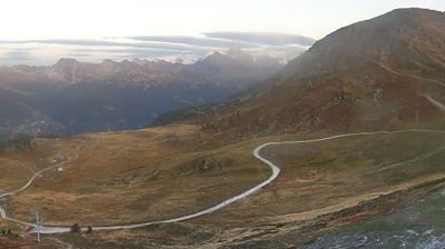
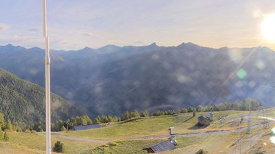
Webcam en direct
Remontées ouvertes: 0/10
Bulletin d'enneigement
- Dernières 24h (1847 m): 3 cm
- Dernières 72h (1847 m): 33 cm
- 7 derniers jours: Sommet (2374 m) 54cm · Mi-montagne (1847 m) 64cm · Vallée (1320 m) 21cm
- Cumul de saison (1847 m): 21 cm
Domaines skiables ouverts maintenant · Bulletin d'enneigement
About Vercorin
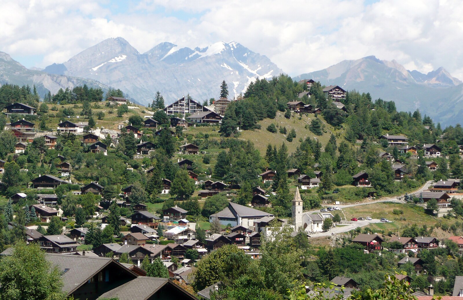
Perched on a natural balcony above the Rhone Valley, this timbered hideaway is the Valaisan secret for paragliders and slow-paced purists.
Highlights
- Preserved raccard barns
- Thermal updraft hub
- Authentic village heart
- Panoramic valley vistas
Key Facts
- Altitude: 1320m
- Top lift: 2374m
- Ski pistes: 22.8km
- Ski lifts: 10
- Population: 564
- Lakes nearby: 27
- MTB trails: 85.9km
- Mountain huts: 13
Ski Area
Inclus dans ces forfaits saison
Weather and 9-day forecast for Vercorin
- Today: 1 to 4 °C, snow, 0 h of sunshine
- Snowfall in the last 7 days: 24 cm
| Day | Min / max | Sky | Precipitation | Sunshine |
|---|---|---|---|---|
| dim. 22 nov. | 1 / 4 °C | snow | 19 cm snow | 0 h sun |
| lun. 23 nov. | -2 / 2 °C | snow showers | 6 cm snow | 0 h sun |
| mar. 24 nov. | -2 / 2 °C | overcast | dry | 1 h sun |
| mer. 25 nov. | 0 / 3 °C | partly cloudy | 1 cm snow | 3 h sun |
| jeu. 26 nov. | -4 / 1 °C | snow | 2 cm snow | 0 h sun |
| ven. 27 nov. | -7 / 0 °C | partly cloudy | dry | 5 h sun |
| sam. 28 nov. | -5 / 3 °C | partly cloudy | dry | 9 h sun |
| dim. 29 nov. | -6 / 6 °C | drizzle | 3 mm rain | 8 h sun |
| lun. 30 nov. | -3 / 5 °C | drizzle | 2 mm rain | 5 h sun |
Things to do in Vercorin
Hikes nearby - Vercorin (20)
20+ curated hiking trails around Vercorin, sourced from OpenStreetMap and enriched with distance, elevation gain and difficulty.
-
06-Chemin des Bisses
-
07-Chemin des Bisses
-
03-Chemin du Vignoble
-
Les Tsâblos-Vercorin
-
Mayens de Réchy-Brie
-
Sentier des Marmottes
Ride the gondola to Crêt du Midi, where the trail opens onto a breathtaking, wide-open panorama before descending through larches, forest, and wooded pastures toward the intermediate station of Sigeroulaz. Along the way, seven playful educational stations reveal the secret life of marmots — all at the gates of the Réchy Valley.
-
La Lé-refuge du Bisse
-
Les Planards-L'Ar du Tsan
-
Rebweg
-
Bisse de lens
-
Walliser Sonnenweg Etappe 1
-
Cran - Er de Chermignon (Ancien bisse du Ro)
-
Pra du taillour-Pas de l'ours
-
Bisse d'Ayent
Cette route est identique à la route suisse Mobil 213.
-
Plaine Morte-Les Violettes
-
Chemin des Bisses: Nax - Vercorin
-
Chemin des Bisses: Vercorin - Grimentz
-
Chemin du vignoble: 5 - Venthône
-
Chemin du vignoble: Venthône - Leuk SBB / Susten
-
Chemin des Bisses: Saint-Martin - Nax
VTT près de Vercorin
- Flowtrail Montana-Village – Loc
- Bisse neuf
- Route du Ban
Getting to Vercorin
Door-to-door travel times as used by the MR. ALPS ranking.
- Nearest airport: Geneva International Airport (GVA), 109 km away, about 2h14 by road
- Lausanne: 1h28 by car, 115 km
- Bern: 2h04 by car, 172 km
- Genève: 2h07 by car, 177 km
- Biel/Bienne: 2h32 by car, 211 km
- Annecy: 2h38 by car, 183 km
- Zürich: 2h59 by train, 249 km
Where to stay in Vercorin
416 places to stay for a night on 2026-11-27, from 133 EUR per night, median 202 EUR. Prices are direct with hotels and destinations, compared live on the Vercorin page.