Saint-Léger-les-Mélèzes
Alpes › Alpes du Dauphiné › Montagnes du Gapençais Oriental
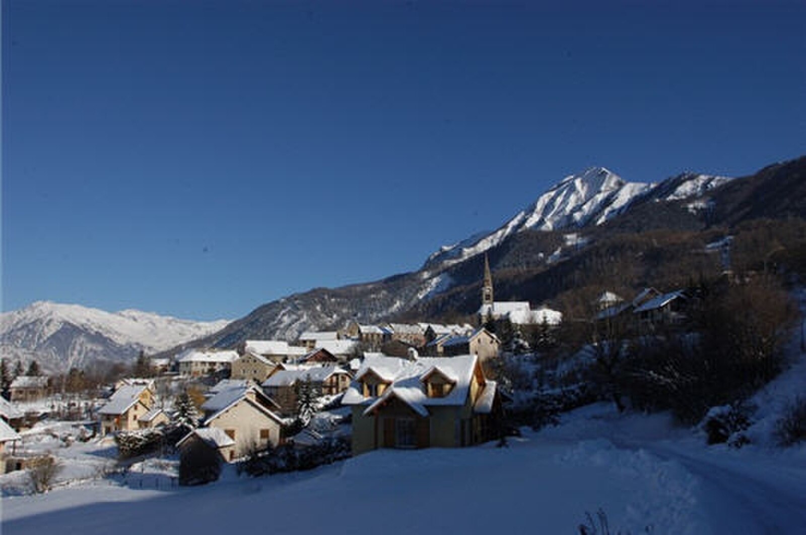
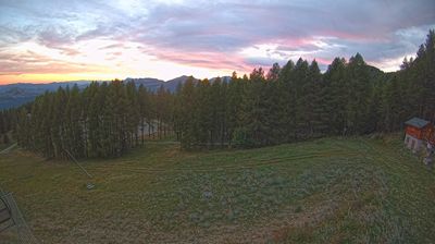
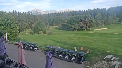
Webcam en direct

Bulletin d'enneigement
- Dernières 24h (1611 m): 0 cm
- Dernières 72h (1611 m): 0 cm
- 7 derniers jours: Sommet (1982 m) 0cm · Mi-montagne (1611 m) 0cm · Vallée (1239 m) 0cm
- Cumul de saison (1611 m): 0 cm
Domaines skiables ouverts maintenant · Bulletin d'enneigement
About Saint-Léger-les-Mélèzes
A sun-soaked family enclave where larch forests meet the southern Alps, offering a relaxed, unpretentious gateway to the Écrins wilderness.
Highlights
- Golden larch forests
- Family-first atmosphere
- Southern Alpine sun
- Pristine park access
Key Facts
- Altitude: 1239m
- Top lift: 1982m
- Ski pistes: 18km
- Ski lifts: 8
- Population: 369
- Lakes nearby: 9
- MTB trails: 111.1km
- Mountain huts: 5
Ski Area
Weather and 10-day forecast for Saint-Léger-les-Mélèzes
- Today: 1 to 5 °C, partly cloudy, 4 h of sunshine
- Freezing level today: about 2160 m (1890 to 2660 m)
| Day | Min / max | Sky | Precipitation | Sunshine |
|---|---|---|---|---|
| lun. 16 nov. | 1 / 5 °C | partly cloudy | dry | 4 h sun |
| mar. 17 nov. | 4 / 8 °C | rain | dry | 0 h sun |
| mer. 18 nov. | 3 / 5 °C | rain showers | dry | 1 h sun |
| jeu. 19 nov. | 1 / 5 °C | rain | dry | 2 h sun |
| ven. 20 nov. | 0 / 3 °C | snow | dry | 0 h sun |
| sam. 21 nov. | 0 / 6 °C | partly cloudy | dry | 5 h sun |
| dim. 22 nov. | 2 / 5 °C | rain | dry | 0 h sun |
| lun. 23 nov. | -4 / 3 °C | clear sky | dry | 9 h sun |
| mar. 24 nov. | -5 / 3 °C | clear sky | dry | 10 h sun |
| mer. 25 nov. | -5 / 2 °C | drizzle | dry | 1 h sun |
Things to do in Saint-Léger-les-Mélèzes
Hikes nearby - Saint-Léger-les-Mélèzes (15)
15 curated hiking trails around Saint-Léger-les-Mélèzes, sourced from OpenStreetMap and enriched with distance, elevation gain and difficulty.
-
Le Ranc - Le Cuchon
-
Le Gourgeon - Mestrinquier
-
Le Ranc - Le Serre du Milieu
-
Les Dents - ?
The trail traverses the rocky "Dents" formations beneath the Autane massif, passing through a narrow passage between sun-lit cliff faces before opening onto panoramic views of a verdant alpine valley framed by dense pine forests.
-
Le Collet d'Ancelle - ?
-
Clot Loubine - ?
-
Tour du Chaillol (Variante par le Refuge du Tourond)
-
Tour du Chaillol
-
Pont des Marrons - Chahio Vieux
-
Arto - Clot Loubine
-
Chapeau de Napoléon
-
Montreviol
-
Torrent du Sapet - Le Piolit
-
La Grande Bàume - Les Cabanes
-
Le Clos Chenu - Peyre Gerle
VTT près de Saint-Léger-les-Mélèzes
- St Bonnet Plan d'Eau
- Chemin des Barbeyroux
- Piste cavalière
- Les 1000 Virages
- Chemin de Grand Couaste
Getting to Saint-Léger-les-Mélèzes
Door-to-door travel times as used by the MR. ALPS ranking.
- Nearest airport: Lyon Saint-Exupéry Airport (LYS), 148 km away, about 2h32 by road
- Grenoble: 1h50 by car, 100 km
- Chambéry: 2h27 by car, 159 km
- Marseille: 2h28 by car, 200 km
- Annecy: 2h59 by car, 206 km
- Lyon: 3h by car, 201 km
- Torino: 3h23 by car, 204 km
Where to stay in Saint-Léger-les-Mélèzes
38 places to stay for a night on 2026-11-20, from 49 EUR per night, median 87 EUR. Prices are direct with hotels and destinations, compared live on the Saint-Léger-les-Mélèzes page.