Misurina – Passo Tre Croci
Alpes › Dolomites › Dolomites de Sesto, de Braies et Ampezzanes
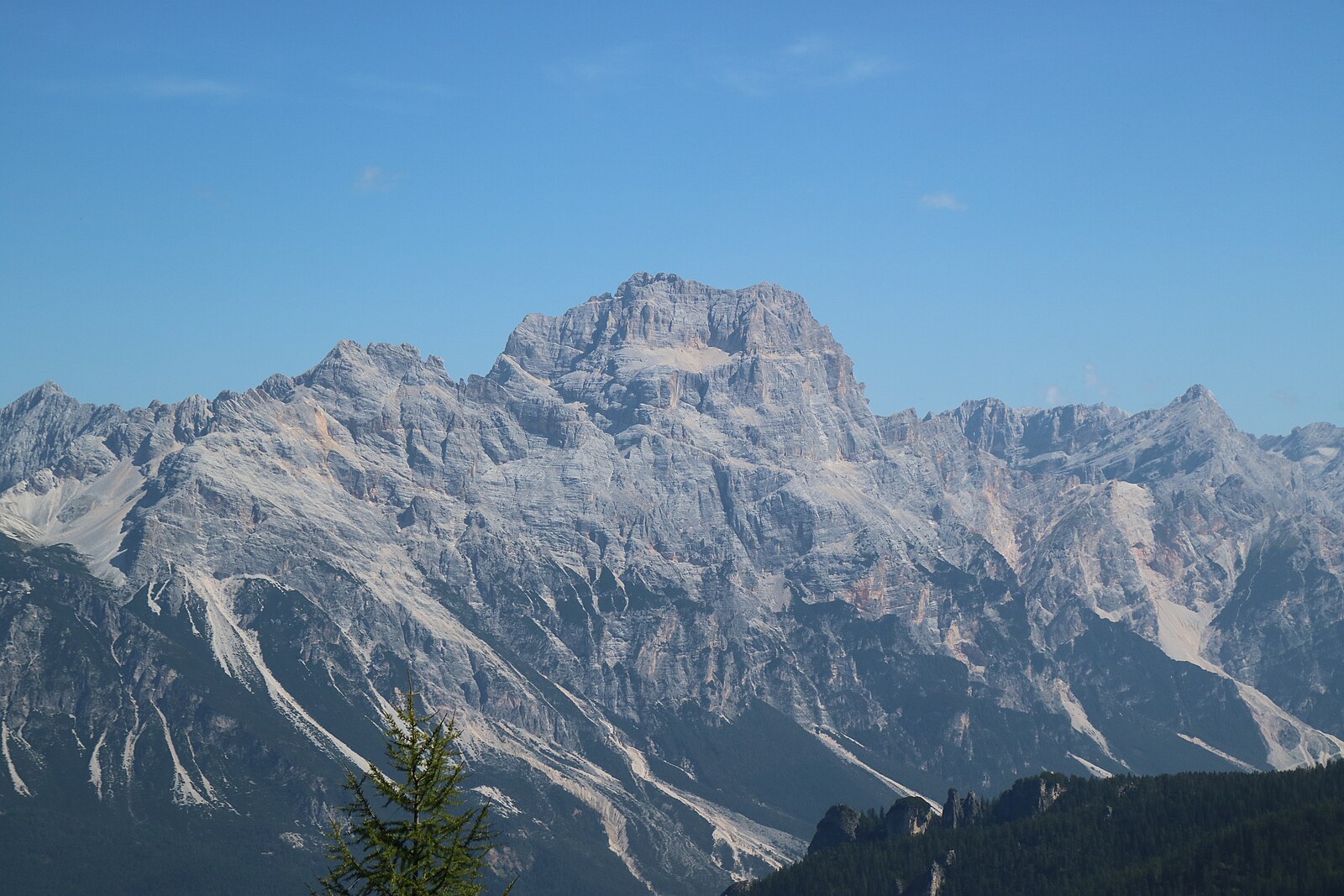
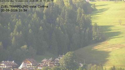
Webcam en direct
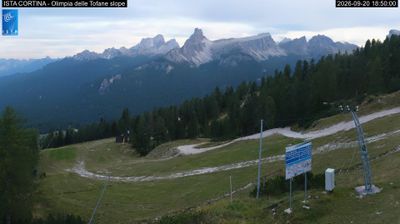
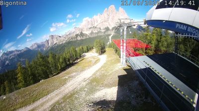
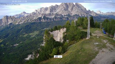


Bulletin d'enneigement
- Dernières 24h (1937 m): 0 cm
- Dernières 72h (1937 m): 0 cm
- 7 derniers jours: Sommet (2113 m) 0cm · Mi-montagne (1937 m) 0cm · Vallée (1761 m) 0cm
- Cumul de saison (1937 m): 1 cm
Domaines skiables ouverts maintenant · Bulletin d'enneigement
About Misurina – Passo Tre Croci
A legendary gateway to the Dolomites, defined by its reflective glacial lake and the towering silhouettes of the Tre Cime peaks.
Highlights
- Dramatic lake views
- Iconic mountain panoramas
- Historic mountain passes
- High-altitude wellness
Key Facts
- Altitude: 1761m
- Top lift: 2113m
- Ski pistes: 22.8km
- Ski lifts: 2
- Population: 46
- Lakes nearby: 18
- MTB trails: 288.5km
- Mountain huts: 44
Ski Area
Weather and 10-day forecast for Misurina – Passo Tre Croci
- Today: 2 to 5 °C, overcast, 1 h of sunshine
- Freezing level today: about 2439 m (2210 to 2780 m)
| Day | Min / max | Sky | Precipitation | Sunshine |
|---|---|---|---|---|
| mar. 17 nov. | 2 / 5 °C | overcast | dry | 1 h sun |
| mer. 18 nov. | 0 / 6 °C | clear sky | dry | 9 h sun |
| jeu. 19 nov. | -1 / 2 °C | snow | 5 cm snow | 0 h sun |
| ven. 20 nov. | -1 / 4 °C | partly cloudy | dry | 5 h sun |
| sam. 21 nov. | -2 / 3 °C | partly cloudy | dry | 5 h sun |
| dim. 22 nov. | -4 / 0 °C | overcast | dry | 1 h sun |
| lun. 23 nov. | -4 / 1 °C | mainly clear | dry | 5 h sun |
| mar. 24 nov. | -5 / 3 °C | overcast | dry | 8 h sun |
| mer. 25 nov. | -5 / 3 °C | overcast | dry | 8 h sun |
| jeu. 26 nov. | -3 / 1 °C | snow showers | 22 cm snow | 0 h sun |
Things to do in Misurina – Passo Tre Croci
Hikes nearby - Misurina – Passo Tre Croci (19)
19 curated hiking trails around Misurina – Passo Tre Croci, sourced from OpenStreetMap and enriched with distance, elevation gain and difficulty.
-
Der Sentiero Durissini
-
Via ferrata Merlone
-
Pale di Misurina
-
Cammino delle Dolomiti - Tappa 14
-
Hotel Serena - Mandres - Lago Scin
-
Via Ferrata Ivano Dibona
L'itinéraire traverse la longue arête sud du massif du Cristallo (3 221 m), serpentant à travers des tunnels et des sections rocheuses équipées avant de franchir un spectaculaire pont suspendu de 30 mètres rendu célèbre par le film *Cliffhanger*. Depuis la fermeture de la télécabine du Rifugio Lorenzi en 2016, l'itinéraire a perdu ses foules, offrant une rare immersion dans la solitude de la haute montagne le long de l'une des grandes lignes de crête des Dolomites.
-
Sentiero Attrezzato Zumelès
-
Bivio Mandres - Porta del Dio Silvano - Fraina - Miramonti
-
Alta via n. 4 delle Dolomiti - Dolomiten-Höhenweg Nr. 4
-
Cammino delle Dolomiti - Tappa 16
-
Cammino delle Dolomiti - Tappa 15
The route connects Misurina to Passo Tre Croci through the orbit of the Sorapìs massif — a horseshoe-shaped cirque sheltering a turquoise lake dominated by the rock pinnacle known as the *Dito di Dio* ("Finger of God"). Terrain shifts from forest tracks to scree, a metal-ladder-equipped rocky spur, and a fixed-rope exposed stretch that turns slippery in wet conditions.
-
Dolomieu Panoramic Trail
-
Via Ferrata Ivano Dibona ascent parte superiore
-
Motel - Cojana - Fraina - Valle Orita - Tondi Faloria
-
Via Alpina Red R27
Drei-Zinnen-Hütte / Rifugio Locatelli - Dürrensteinhütte / Rifugio Vallandro
-
Via Alpina Yellow B19
Rifugio P. Galassi - Rif. Città di Fiume
-
Via Alpina Red R28
The Via Alpina is a network of five long-distance hiking trails across the alpine regions of Slovenia, Austria, Germany, Liechtenstein, Switzerland, Italy, France, and Monaco. The longest of the trails is the Red Trail, whose termini are in Trieste and Monaco.
-
Dolomites World Heritage Geotrail 45
-
Alta via n. 5 delle Dolomiti
L'Alta via n. 5 parte da Sesto e termina a Pieve di Cadore. È stata dedicata al sommo pittore Tiziano Vecellio, che più volte dipinse le Marmarole come sfondo di paesaggi inconsueti. Molto impegnativa con tratti a carattere alpinistico, può essere percorsa in 6/7 giorni e si sviluppa in circa novanta chilometri. La quota massima si raggiunge alla forcella Giàu de la Tana (2650 m) nelle Marmarole.
VTT près de Misurina – Passo Tre Croci
- SICAI Ciclo
Tourné ici
- Cliffhanger (1993)
Getting to Misurina – Passo Tre Croci
Door-to-door travel times as used by the MR. ALPS ranking.
- Nearest airport: Venice Marco Polo Airport (VCE), 118 km away, about 2h14 by road
- Bolzano - Bozen: 1h55 by car, 126 km
- Padova: 2h18 by car, 189 km
- Innsbruck: 2h24 by car, 158 km
- Trento: 2h26 by car, 181 km
- Verona: 3h06 by car, 270 km
- Bologna: 3h27 by car, 302 km