La Sambuy – Seythenex
Alpes › Préalpes de Savoie › Massif des Bauges
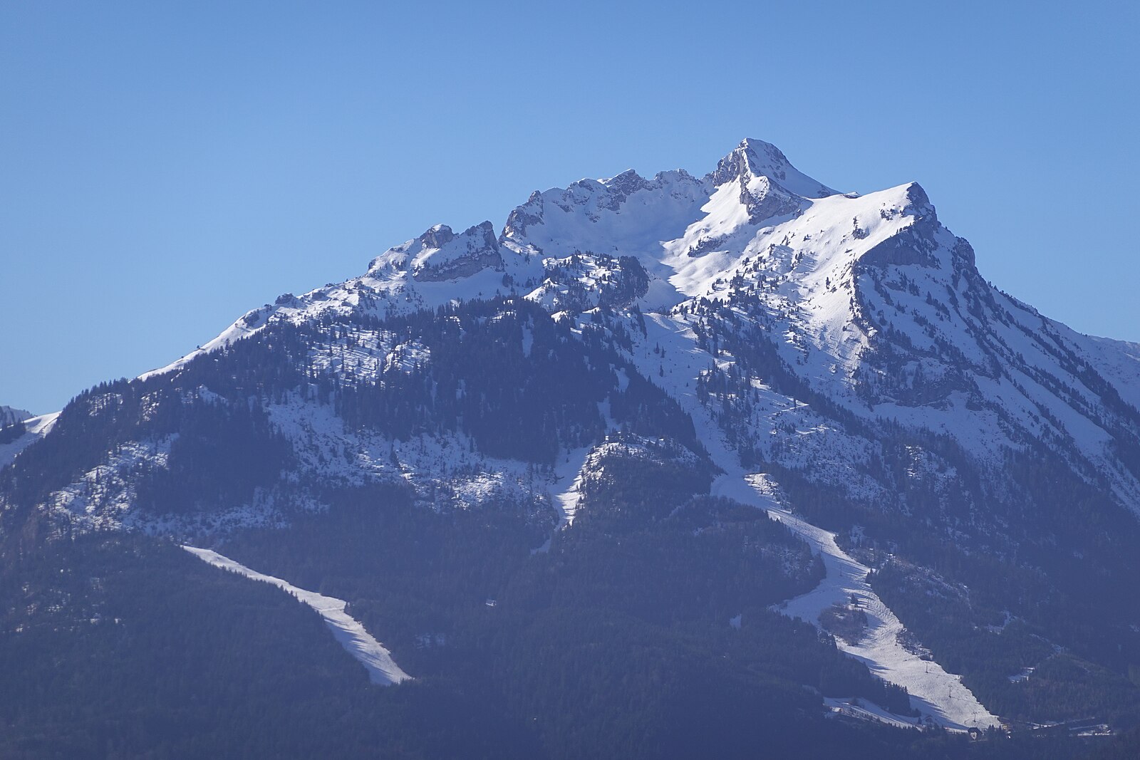
Webcam en direct
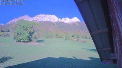

Bulletin d'enneigement
- Dernières 24h (1153 m): 0 cm
- Dernières 72h (1153 m): 0 cm
- 7 derniers jours: Sommet (1174 m) 0cm · Mi-montagne (1153 m) 0cm · Vallée (1131 m) 0cm
- Cumul de saison (1153 m): 0 cm
Domaines skiables ouverts maintenant · Bulletin d'enneigement
About La Sambuy – Seythenex
A defiant bastion of low-impact winter sports, this family-run outpost trades high-speed lifts for raw nature and sweeping Lake Annecy views.
Highlights
- Eco-conscious atmosphere
- Panoramic lake vistas
- Understated local charm
- Pristine forest trails
Key Facts
- Altitude: 1131m
- Top lift: 1174m
- Ski pistes: 0.2km
- Population: 665
- Lakes nearby: 11
- MTB trails: 51.5km
- Mountain huts: 13
Ski Area
Weather and 10-day forecast for La Sambuy – Seythenex
- Today: 4 to 7 °C, rain showers, 0 h of sunshine
- Freezing level today: about 1997 m (1840 to 2410 m)
| Day | Min / max | Sky | Precipitation | Sunshine |
|---|---|---|---|---|
| jeu. 19 nov. | 4 / 7 °C | rain showers | dry | 0 h sun |
| ven. 20 nov. | 4 / 6 °C | rain | dry | 0 h sun |
| sam. 21 nov. | 3 / 7 °C | rain showers | dry | 2 h sun |
| dim. 22 nov. | 2 / 6 °C | thunderstorm | dry | 2 h sun |
| lun. 23 nov. | -2 / 3 °C | snow | dry | 1 h sun |
| mar. 24 nov. | -3 / 4 °C | overcast | dry | 1 h sun |
| mer. 25 nov. | 2 / 7 °C | overcast | dry | 1 h sun |
| jeu. 26 nov. | -1 / 2 °C | rain showers | dry | 9 h sun |
| ven. 27 nov. | -1 / 2 °C | snow | dry | 0 h sun |
| sam. 28 nov. | 0 / 7 °C | rain showers | dry | 6 h sun |
Things to do in La Sambuy – Seythenex
Hikes nearby - La Sambuy – Seythenex (15)
15 curated hiking trails around La Sambuy – Seythenex, sourced from OpenStreetMap and enriched with distance, elevation gain and difficulty.
-
Pointe de Chaurionde
From the summit of Pointe de Chaurionde (2,173 m), the ridge trail continues to Pointe de la Sambuy with views stretching as far as Albertville and the Beaufortain. The route sits within the Massif des Bauges Regional Nature Park, linking a chain of summits along an exposed ridgeline.
-
L'alpage et le Col d'Orgeval
-
Tour du Grand Roc
Si la montée peut être éprouvante, le résultat en vaut la chandelle. La vue sur le coeur des Bauges d'un côté et sur le Pays d'Albertville de l'autre côté, mérite bien un effort.
-
Vallon de Tamié
A shaded loop through the heart of the Bauges, this route connects two history-laden landmarks — a Cistercian abbey and a fort — with views stretching across the Isère valley and the Alps beyond.
-
La Belle Étoile (boucle)
-
La Belle Étoile (aller-retour)
-
Col du Haut du Four
Grande randonnée au départ du village pour prendre de la hauteur. Après avoir traversé la foret, vous pourrez profiter de la vue sur les Bauges et ses alpages verdoyants.
-
Chemin de Szombathely, Moûtiers - Pontcharra
-
Tour du Lac d'Annecy
-
Mont Julioz
-
Tours du Massif des Bauges
-
À l'assaut du fort de Tamié
-
À la découverte de Mercury
-
Château de Cornillon
Cette belle randonnée permet de découvrir en son point culminant les vestiges d'un ancien château fort détruit par un incendie en 1334. De Cornillon à Césarches itinéraire partagé VTT, prudence nombreux vélos!
-
Boucle des Bochettes
VTT près de La Sambuy – Seythenex
- Au fil de l'eau
- L'Arclusaz
- Chemin des Espagnols
- Chemin de la Grande Combe
Getting to La Sambuy – Seythenex
Door-to-door travel times as used by the MR. ALPS ranking.
- Nearest airport: Annecy Meythet airport (NCY), 28 km away, about 1h by road
- Annecy: 54 min by car, 37 km
- Chambéry: 59 min by car, 67 km
- Grenoble: 1h23 by car, 97 km
- Genève: 1h28 by car, 80 km
- Lausanne: 2h08 by car, 142 km
- Lyon: 2h09 by car, 164 km
Where to stay in La Sambuy – Seythenex
41 places to stay for a night on 2026-11-27, from 77 EUR per night, median 102 EUR. Prices are direct with hotels and destinations, compared live on the La Sambuy – Seythenex page.