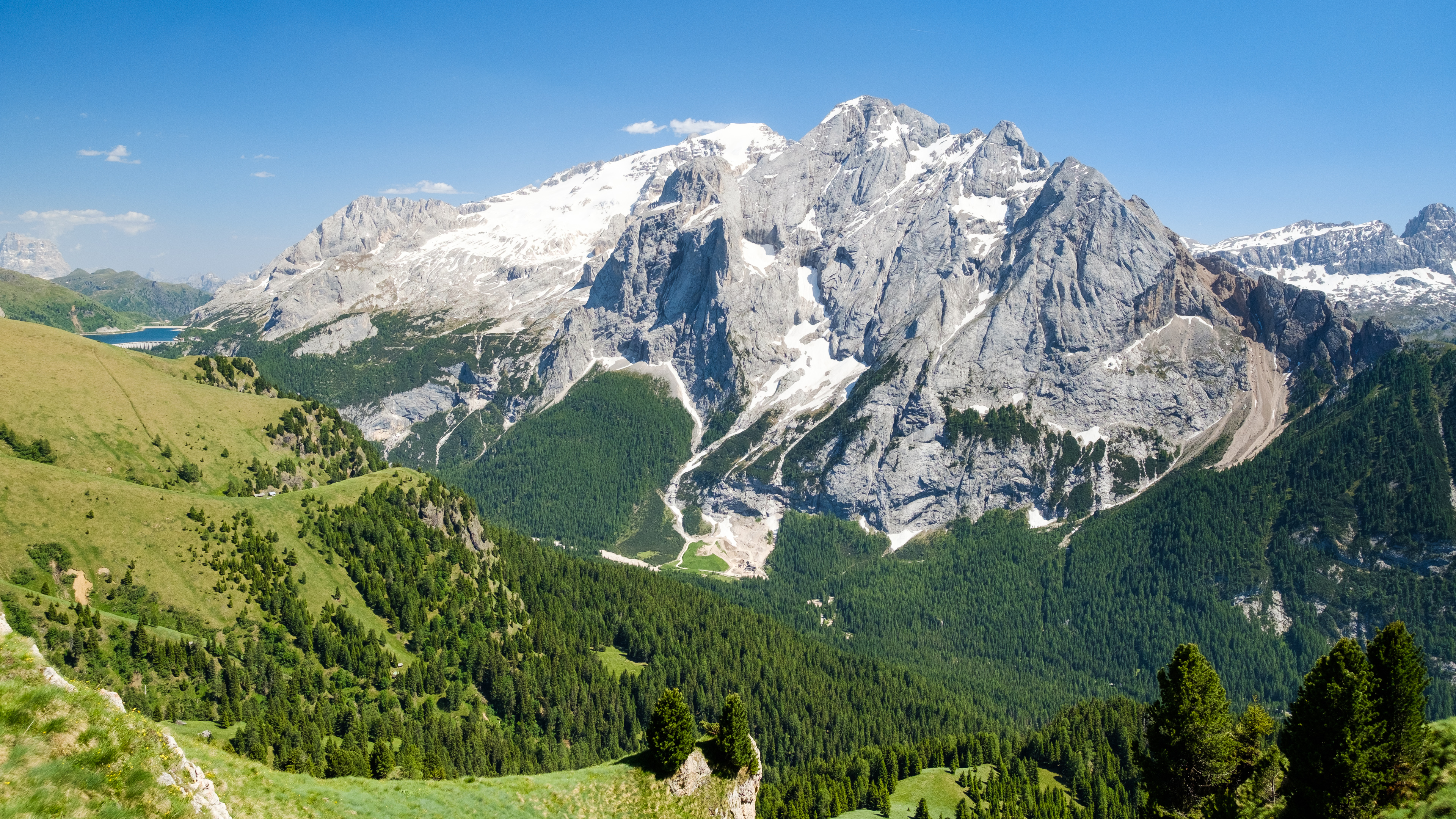
Marmolada
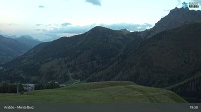
Webcam en directo


Parte de nieve
- Últimas 24h: 0 cm
- Últimas 72h: 0 cm
- Últimos 7 días: 0 cm
- Últimos 7 días: Valle 0cm · Media montaña 0cm · Cumbre 0cm
- Acumulado de temporada: 5.5 cm
Estaciones de esquí abiertas ahora · Parte de nieve
About Marmolada
Known as the Queen of the Dolomites, this limestone giant offers Italy’s most legendary vertical descent and austere high-altitude drama.
Highlights
- Glacial terrain
- Panoramic terrace views
- Steep vertical drops
- Great War history
Key Facts
- Altitude: 1454m
- Top lift: 3235m
- Ski pistes: 20.9km
- Ski lifts: 5
- Lakes nearby: 8
- MTB trails: 147.3km
- Mountain huts: 90
Ski Area
Weather and 10-day forecast for Marmolada
- Today: 1 to 9 °C, overcast, 1 h of sunshine
- Freezing level today: about 3358 m (2720 to 3850 m)
| Day | Min / max | Sky | Precipitation | Sunshine |
|---|---|---|---|---|
| jue, 24 sept | 1 / 9 °C | overcast | dry | 1 h sun |
| vie, 25 sept | 1 / 8 °C | clear sky | dry | 12 h sun |
| sáb, 26 sept | 2 / 11 °C | clear sky | dry | 9 h sun |
| dom, 27 sept | 5 / 12 °C | mainly clear | dry | 8 h sun |
| lun, 28 sept | 6 / 13 °C | rain showers | 1 mm rain | 8 h sun |
| mar, 29 sept | 5 / 13 °C | mainly clear | dry | 8 h sun |
| mié, 30 sept | 5 / 14 °C | clear sky | 1 mm rain | 11 h sun |
| jue, 1 oct | 3 / 10 °C | drizzle | 1 mm rain | 9 h sun |
| vie, 2 oct | 2 / 6 °C | drizzle | 2 mm rain | 0 h sun |
| sáb, 3 oct | 1 / 5 °C | drizzle | 4 mm rain | 10 h sun |
Things to do in Marmolada
Hikes nearby — Marmolada (18)
18 curated hiking trails around Marmolada, sourced from OpenStreetMap and enriched with distance, elevation gain and difficulty.
-
Dolomites World Heritage Geotrail 39
-
Dolomites World Heritage Geotrail 38
-
Cammino delle Dolomiti - Tappa 10
-
Via Alpina Yellow B21
Pieve di Livinallongo - Passo Pordoi
-
Via Alpina Yellow B22
Passo Pordoi - Rifugio Contrin
-
Dolomites World Heritage Geotrail 41
-
Dolomites World Heritage Geotrail 42
-
Dolomites World Heritage Geotrail 40
-
Dolomites World Heritage Geotrail 43
-
Dolomites World Heritage Geotrail 12
-
Cammino delle Dolomiti - Tappa 11
-
Cammino delle Dolomiti - Tappa 12
-
Alta via n. 9 delle Dolomiti - Dolomiten-Höhenweg Nr. 9
L’Alta via delle Dolomiti n. 9, chiamata anche La trasversale, è un percorso di circa 150 km che parte da Danta - Santo Stefano di Cadore, in provincia di Belluno, e arriva a Bagni di Lavinia Bianca - Tires, in provincia di Bolzano.
-
Sentiero delle Creste
-
Via ferrata di Forcella Marmolada
-
Laste Ciaspamoon
-
Sentiero Camosci
-
Col Pelous
Mountain biking near Marmolada
- SICAI Ciclo
- strada di Franzedàs
Getting to Marmolada
Door-to-door travel times as used by the MR. ALPS ranking.
- Nearest airport: Venice Marco Polo Airport (VCE), 110 km away, about 2h31 by road
- Bolzano - Bozen: 1h38 by car, 67 km
- Trento: 2h12 by car, 120 km
- Innsbruck: 2h46 by car, 158 km
- Padova: 2h53 by car, 196 km
- Verona: 3h10 by car, 215 km
- Brescia: 3h41 by car, 250 km
Where to stay in Marmolada
197 places to stay for a night on 2026-09-25, from 197 EUR per night, median 301 EUR. Prices are direct with hotels and destinations, compared live on the Marmolada page.