Geißkopf
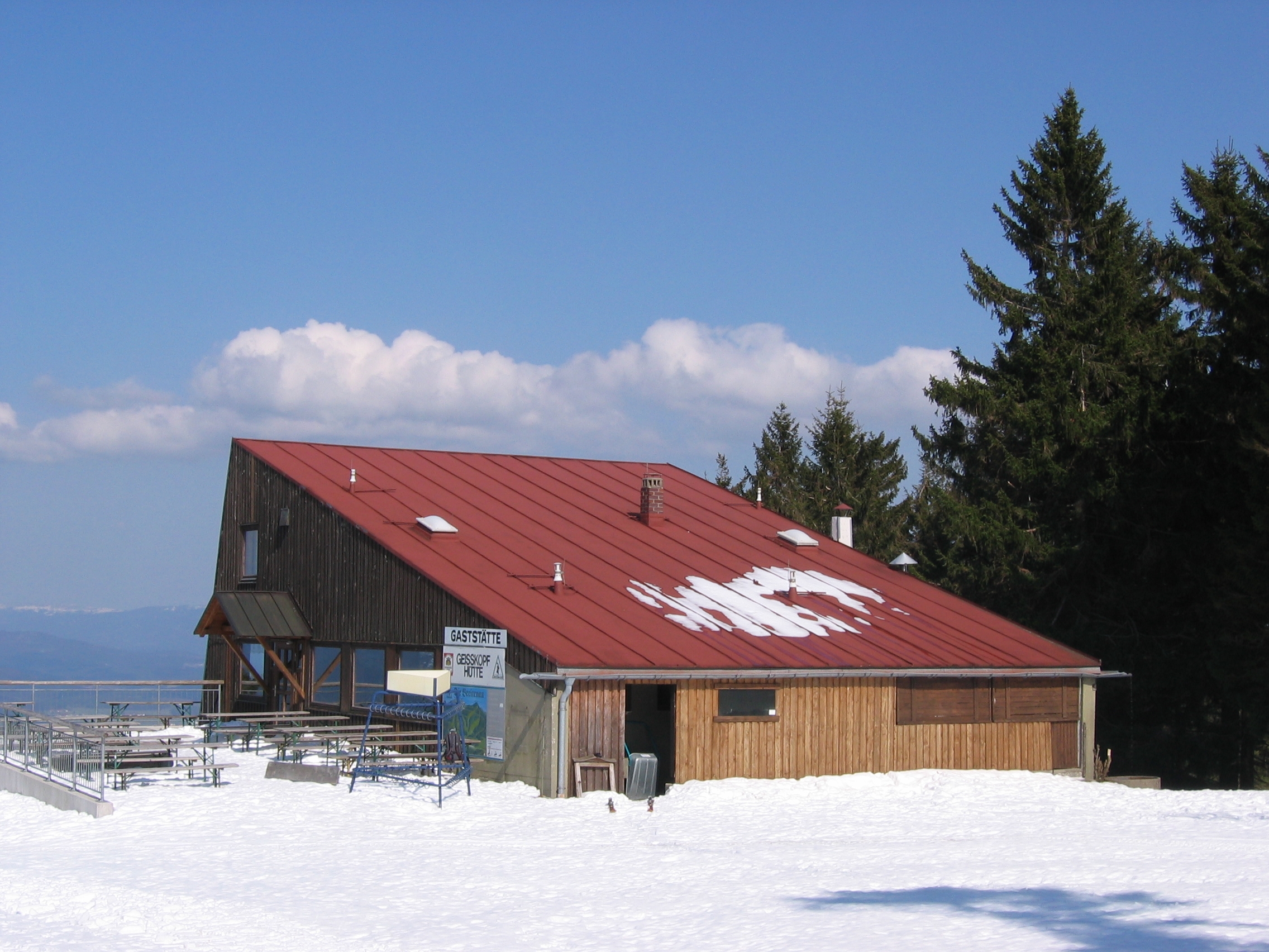
About Geißkopf
A rugged Bavarian hub where downhill mountain biking and traditional forest hiking define the raw, unpretentious spirit of the region.
Highlights
- Premier bike park
- Wooded hiking trails
- Old-school chairlifts
- Authentic beer gardens
Key Facts
- Altitude: 834m
- Top lift: 1108m
- Ski pistes: 8.4km
- Ski lifts: 8
- Lakes nearby: 6
- MTB trails: 204km
Ski Area
Weather and 10-day forecast for Geißkopf
- Today: 5 to 12 °C, partly cloudy, 7 h of sunshine
- Freezing level today: about 3280 m (2050 to 3970 m)
| Day | Min / max | Sky | Precipitation | Sunshine |
|---|---|---|---|---|
| vie, 25 sept | 5 / 12 °C | partly cloudy | dry | 7 h sun |
| sáb, 26 sept | 7 / 17 °C | clear sky | dry | 12 h sun |
| dom, 27 sept | 7 / 19 °C | partly cloudy | dry | 6 h sun |
| lun, 28 sept | 9 / 20 °C | clear sky | dry | 9 h sun |
| mar, 29 sept | 9 / 21 °C | clear sky | dry | 9 h sun |
| mié, 30 sept | 9 / 20 °C | clear sky | dry | 11 h sun |
| jue, 1 oct | 9 / 18 °C | clear sky | dry | 11 h sun |
| vie, 2 oct | 7 / 14 °C | drizzle | dry | 0 h sun |
| sáb, 3 oct | 8 / 15 °C | drizzle | dry | 1 h sun |
| dom, 4 oct | 3 / 17 °C | clear sky | dry | 7 h sun |
Things to do in Geißkopf
Hikes nearby — Geißkopf (17)
17 curated hiking trails around Geißkopf, sourced from OpenStreetMap and enriched with distance, elevation gain and difficulty.
-
Goldsteig S17: Grandsberg – Landshuter Haus
Etappe 17 führt von Grandsberg über Wühnried zum Landshuter Haus
-
Goldsteig S18: Landshuter Haus – Lalling
Etappe 18 führt vom Landshuter Haus über Rusel und Datting nach Lalling
-
Goldsteig Zuweg Nr.40 Russelabsatz → Datting
-
Bischofsmais Nr. 3
-
Bischofsmais Nr. 4
-
Nr.7 Gotteszell /Zachenberg
-
Graflinger Tal Rundwanderweg Nr. 13
Rundwanderweg Wühnried - Oberbreitenau - Wühnried
-
Bischofsmais Nr. 5
-
Zachenberger Steinbruchweg
-
Bischofsmais Nr. 1
-
Bischofsmais Nr. 11
-
Graflinger Tal Rundwanderweg Nr. 12
Rundwanderweg Grub - Wühnried - Engelburgsried - Grub
-
Bischofsmais Nr. 10
-
Graflinger Tal Rundwanderweg Nr. 1
Grafling - Loderhart - Widstatt - Grafling
-
Bischofsmais Nr. 16
-
Achslacher Rundweg "Zottling"
Achslach – Rimbeck – Bernwinkel – Zottling – Hofpoint – Kager – Aign – Rimbeck – Achslach
-
Achslacher Zielweg Nr. 5
Zottling – Kogl – Bergwies – Platzl
Mountain biking near Geißkopf
- Trans Bayerwald Südroute Etappe 5
- Trans Bayerwald Quertrasse
- MTB Tour Nr. 23a Habischrieder Tour
- MTB Tour Nr. 23 Habischrieder Tour
- Enduro 2
- Chili Enduro Series Enduro 21 Trail 2023
- Fahrnbach-Funtrail
- Dual
Getting to Geißkopf
Door-to-door travel times as used by the MR. ALPS ranking.
- Nearest airport: Munich Airport (MUC), 113 km away, about 1h35 by road
- München: 1h59 by car, 166 km
- Nürnberg: 2h12 by car, 197 km
- Wien: 3h44 by car, 342 km
- Innsbruck: 3h45 by car, 332 km
- Graz: 3h49 by car, 340 km
- Stuttgart: 3h53 by car, 371 km
Where to stay in Geißkopf
96 places to stay for a night on 2026-10-02, from 113 EUR per night, median 302 EUR. Prices are direct with hotels and destinations, compared live on the Geißkopf page.