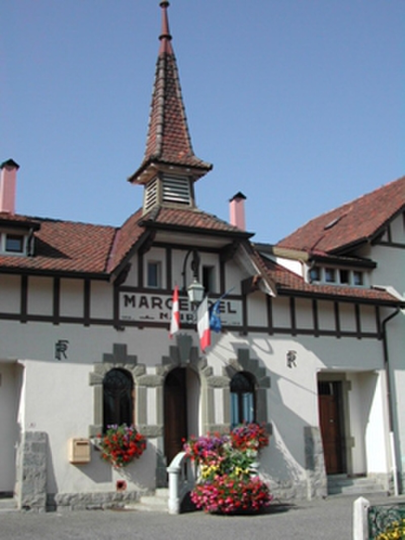
St. Jean de Sixt
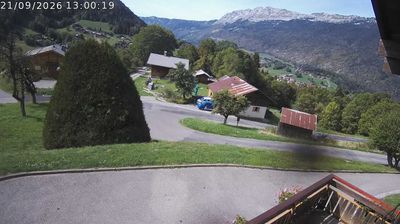
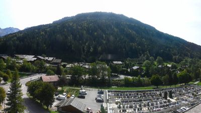
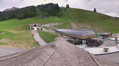
Webcam en directo
Remontes abiertos: 0%
Parte de nieve
- Últimas 24h: 0 cm
- Últimas 72h: 0 cm
- Últimos 7 días: 0 cm
- Últimos 7 días: Valle 0cm · Media montaña 0cm · Cumbre 0cm
- Acumulado de temporada: 0 cm
Estaciones de esquí abiertas ahora · Parte de nieve
About St. Jean de Sixt
A crossroads of Savoyard life where local reblochon production meets quiet proximity to some of the Aravis range’s best terrain.
Highlights
- Artisanal cheese culture
- Traditional wooden chalets
- Strategic mountain hub
- Authentic Savoyard pace
Key Facts
- Altitude: 963m
- Population: 1,500
- Lakes nearby: 7
- MTB trails: 105.6km
- Mountain huts: 22
Ski Area
Weather and 10-day forecast for St. Jean de Sixt
- Today: 8 to 21 °C, clear sky, 8 h of sunshine
- Freezing level today: about 4266 m (3900 to 4510 m)
| Day | Min / max | Sky | Precipitation | Sunshine |
|---|---|---|---|---|
| vie, 25 sept | 8 / 21 °C | clear sky | dry | 8 h sun |
| sáb, 26 sept | 9 / 22 °C | clear sky | dry | 12 h sun |
| dom, 27 sept | 12 / 23 °C | clear sky | dry | 12 h sun |
| lun, 28 sept | 15 / 23 °C | partly cloudy | dry | 7 h sun |
| mar, 29 sept | 15 / 24 °C | partly cloudy | dry | 8 h sun |
| mié, 30 sept | 15 / 25 °C | clear sky | dry | 12 h sun |
| jue, 1 oct | 15 / 22 °C | partly cloudy | dry | 7 h sun |
| vie, 2 oct | 11 / 16 °C | rain | dry | 1 h sun |
| sáb, 3 oct | 9 / 19 °C | overcast | dry | 1 h sun |
| dom, 4 oct | 11 / 20 °C | partly cloudy | dry | 6 h sun |
Things to do in St. Jean de Sixt
Hikes nearby — St. Jean de Sixt (11)
11 curated hiking trails around St. Jean de Sixt, sourced from OpenStreetMap and enriched with distance, elevation gain and difficulty.
-
Sentier de l'Attaque
-
La Croix de Colomban
-
GR 96
-
Montagne du Lachat
-
Porte des Aravis par la Combe Creuse
Hemmed in by the cliffs of Aiguille Verte and Les Parrossaz, the Combe de la Creuse funnels you upward through a physically demanding ascent marked by cairns, delivering you at last to the Porte des Aravis — a col at 2400 m, unmistakable between its twin rock walls and commanding one of the finest panoramas in Haute-Savoie.
-
Tour du Mont Lachat de Châtillon
The route threads through the green pastures of the Chinaillon and Maroly valleys before reaching the Aravis range, where the south balcony of Mont Lachat leads to the Châtillon pass amid combes and summits that top out at 2750m.
-
Circuit de la Buffaz
-
Circuit de la Têtaz
-
Circuit du Nant du Sappey
-
Combe d'Ablon
-
La Boucle des Rochers de Leschaux
Mountain biking near St. Jean de Sixt
- DH de la Ferriaz
- Piste Descente VTT de la Ferriaz N°24
- DH de la Grenêche
- VTT DH de la Grenêche N°10
- Enduro du Bois du Plan
- Chemin du Bachal
- La Trace
- Enduro des Encarnes - Partie basse
Getting to St. Jean de Sixt
Door-to-door travel times as used by the MR. ALPS ranking.
- Nearest airport: Annecy Meythet airport (NCY), 24 km away, about 34 min by road
- Annecy: 39 min by car, 29 km
- Genève: 49 min by car, 48 km
- Chambéry: 1h07 by car, 79 km
- Lausanne: 1h34 by car, 109 km
- Grenoble: 1h46 by car, 128 km
- Lyon: 2h08 by car, 168 km
Where to stay in St. Jean de Sixt
173 places to stay for a night on 2026-10-02, from 71 EUR per night, median 188 EUR. Prices are direct with hotels and destinations, compared live on the St. Jean de Sixt page.