Speikboden
Webcam en directo
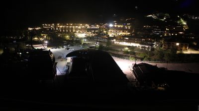
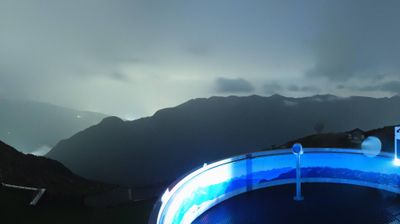
Remontes abiertos: 0/8
Parte de nieve
- Últimas 24h: 0 cm
- Últimas 72h: 0 cm
- Últimos 7 días: 0 cm
- Últimos 7 días: Valle 0cm · Media montaña 0cm · Cumbre 2.4cm
- Acumulado de temporada: 0 cm
Estaciones de esquí abiertas ahora · Parte de nieve
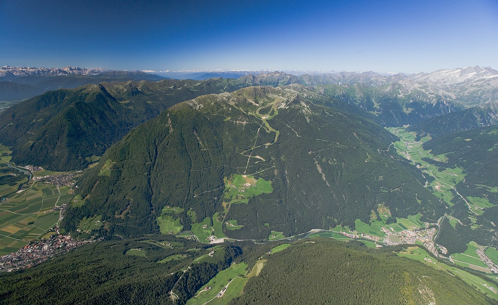
About Speikboden
A family-oriented South Tyrolean gem where panoramic peak views meet a relaxed, unpretentious atmosphere away from the crowds.
Highlights
- Family-friendly slopes
- Panoramic observation decks
- Authentic mountain huts
- Reliable snow cover
Key Facts
- Altitude: 950m
- Top lift: 2400m
- Ski pistes: 41km
- Ski lifts: 8
- Population: 5,968
- Lakes nearby: 13
- MTB trails: 36.3km
- Mountain huts: 10
Ski Area
Weather and 10-day forecast for Speikboden
- Today: 0 to 9 °C, clear sky, 11 h of sunshine
- Freezing level today: about 3353 m (2570 to 3970 m)
| Day | Min / max | Sky | Precipitation | Sunshine |
|---|---|---|---|---|
| vie, 25 sept | 0 / 9 °C | clear sky | dry | 11 h sun |
| sáb, 26 sept | 4 / 13 °C | clear sky | dry | 12 h sun |
| dom, 27 sept | 4 / 15 °C | clear sky | dry | 11 h sun |
| lun, 28 sept | 9 / 16 °C | clear sky | dry | 11 h sun |
| mar, 29 sept | 9 / 16 °C | clear sky | dry | 11 h sun |
| mié, 30 sept | 4 / 14 °C | clear sky | dry | 7 h sun |
| jue, 1 oct | 3 / 12 °C | clear sky | dry | 11 h sun |
| vie, 2 oct | 2 / 10 °C | drizzle | 2 mm rain | 10 h sun |
| sáb, 3 oct | 2 / 5 °C | drizzle | 6 mm rain | 11 h sun |
| dom, 4 oct | 0 / 5 °C | overcast | dry | 11 h sun |
Things to do in Speikboden
Hikes nearby — Speikboden (20)
20+ curated hiking trails around Speikboden, sourced from OpenStreetMap and enriched with distance, elevation gain and difficulty.
-
Mühlwalder Jöchl
-
Via Alpina Red R33
Ahornach / Acereto - Chemnitzer Hütte / Rifugio G. Porro
-
Pieterstein
-
Mühlwalder Almweg
-
Panoramaweg Speikboden
-
Mühlwalder Höfeweg
-
Daimerweg
-
Pieterstein
-
Pieterstein
-
Wengsee - Lago di Venga
-
Weg übers Dorf
-
Bruggeralm
-
Mühlener Klamme
-
Gorner Joch
-
Mühlwalder Almenweg
This circular route through the Mühlwald valley begins at the Mühlwald lake and follows the Knappbach stream up to the Obermoaralm alpine pasture, continuing on to the Wengsee.
-
Lappacher Jöchl
From the village of Weißenbach at 1.350 m, trail Nr. 22 climbs steeply via the Stifteralm to the Lappacher Jöchl at 2.370 m, where it meets the Kellerbauerweg and traverses the rocky northeast flank beneath the Tristenspitz (2.716 m), passing the Tristensee before reaching the Chemnitzerhütte at 2.419 m on the Nevesjoch — all with panoramic views throughout.
-
Naturerlebnispfad
-
Dammweg
-
Chemnitzerhütte
-
Talweg
Getting to Speikboden
Door-to-door travel times as used by the MR. ALPS ranking.
- Nearest airport: Innsbruck Airport (INN), 56 km away, about 2h26 by road
- Bolzano - Bozen: 3h33 by car, 110 km
- Innsbruck: 4h02 by car, 143 km
- Trento: 4h04 by car, 166 km
- Verona: 5h02 by car, 261 km
- Padova: 5h33 by car, 274 km
- Brescia: 5h33 by car, 297 km
Where to stay in Speikboden
200 places to stay for a night on 2026-09-25, from 108 EUR per night, median 347 EUR. Prices are direct with hotels and destinations, compared live on the Speikboden page.