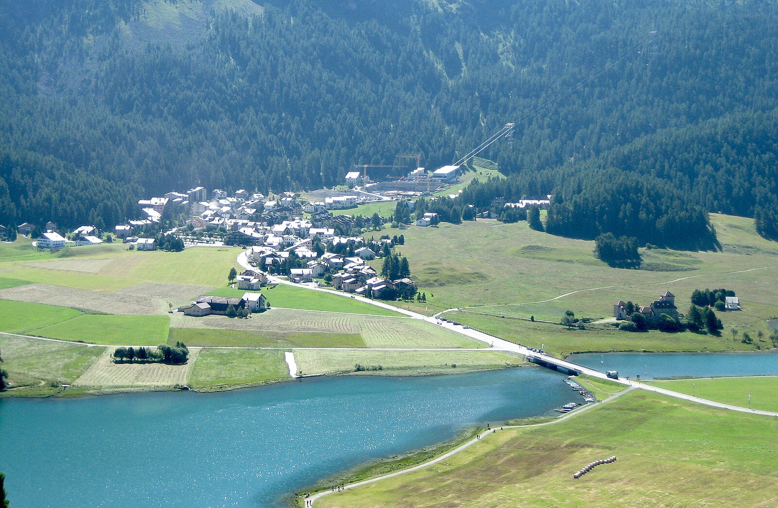
Silvaplana-Surlej / Corvatsch
Webcam en directo


Remontes abiertos: 0/23
Parte de nieve
- Últimas 24h: 0 cm
- Últimas 72h: 0 cm
- Últimos 7 días: 0 cm
- Últimos 7 días: Valle 0cm · Media montaña 0cm · Cumbre 0cm
- Acumulado de temporada: 48.2 cm
Estaciones de esquí abiertas ahora · Parte de nieve
About Silvaplana-Surlej / Corvatsch
A high-altitude village at 1,797m in the Engadin valley, maintaining its authentic character within the expansive St. Moritz circuit. During shoulder seasons, the pace slows significantly and the lakeside trails offer solitude across the Graubünden landscape.
Highlights
- Lake-side kite-surfing
- Elite athletic culture
- High-altitude wind-sports
- Modern Engadin architecture
Key Facts
- Altitude: 1797m
- Top lift: 3295m
- Ski pistes: 275km
- Ski lifts: 14
- Population: 1,121
- 4000m+ peaks nearby: 1
- Lakes nearby: 34
- MTB trails: 172.5km
- Mountain huts: 22
Ski Area
Incluido en estos pases de temporada
Weather and 10-day forecast for Silvaplana-Surlej / Corvatsch
- Today: 2 to 11 °C, overcast, 3 h of sunshine
- Freezing level today: about 3355 m (2860 to 3890 m)
| Day | Min / max | Sky | Precipitation | Sunshine |
|---|---|---|---|---|
| jue, 24 sept | 2 / 11 °C | overcast | dry | 3 h sun |
| vie, 25 sept | 2 / 11 °C | partly cloudy | dry | 7 h sun |
| sáb, 26 sept | 6 / 15 °C | clear sky | dry | 10 h sun |
| dom, 27 sept | 6 / 15 °C | clear sky | dry | 12 h sun |
| lun, 28 sept | 6 / 15 °C | clear sky | dry | 9 h sun |
| mar, 29 sept | 6 / 15 °C | clear sky | dry | 12 h sun |
| mié, 30 sept | 5 / 14 °C | clear sky | dry | 12 h sun |
| jue, 1 oct | 4 / 14 °C | partly cloudy | dry | 7 h sun |
| vie, 2 oct | 2 / 7 °C | drizzle | dry | 1 h sun |
| sáb, 3 oct | 2 / 9 °C | clear sky | dry | 7 h sun |
Things to do in Silvaplana-Surlej / Corvatsch
Hikes nearby — Silvaplana-Surlej / Corvatsch (20)
20+ curated hiking trails around Silvaplana-Surlej / Corvatsch, sourced from OpenStreetMap and enriched with distance, elevation gain and difficulty.
-
Senda Segantini - Etappe 3
-
Bernina Tour
From Pontresina, the route threads through the Roseg Valley to the Fuorcla Surlej hut at 2,754 m, with views across the Sella and Roseg glaciers and peaks including Piz Tschierva, Biancograt, Piz Roseg, and Piz Glüschaint. The stage ends at the Murtèl cable car station, from which a gondola descends to Silvaplana-Surlej.
-
Bernina Tour
The Bernina Tour circles Piz Bernina — the only four-thousand-metre peak in the eastern Alps and the highest in Graubünden at 4049 m — revealing glaciers, the turquoise-blue Lej da Diavolezza, the flowery Val Roseg, and the shores of Lago Bianco where the red trains of the Rhaetian Railway pass. From the Bernina Pass at 2328 m, the route descends through the culturally significant Engadine villages and the Upper Engadine lakes, while the southern start in Poschiavo brings a Mediterranean atmosphere against an alpine backdrop.
-
Via Albula/Bernina
-
Lej da la Tscheppa
-
St. Moritz-Dorf - St. Moritz-Bad
-
Wasserweg «Ils Lejins»
-
Seerundgang
-
Puntraschigna - Roseg
Desde Pontresina, el sendero sigue el Rosegbach aguas arriba a través de un bosque antiguo, pasando por corredores de avalanchas donde deambulan los rebecos y arroyos bordeados de musgo corren cristalinos, antes de que el valle se abra para revelar el grupo de la Sella cubierto de nieve y los glaciares de la Sella y del Roseg. Los carruajes tirados por caballos comparten la ruta, y el recorrido termina en el Hotel Roseg Gletscher con su panorama del glaciar.
-
Senda Muottas da Schlarigna
The route climbs steeply through an old forest of larch and Swiss stone pine to Muottas da Schlarigna at 2,305 m, where a panoramic view opens over Pontresina and the lakes of the Upper Engadin — including a striking close look at the complex of avalanche dams and catchment areas built above the town in 2003. Near the start, beside a bench at Alp Staz, stands a thousand-year-old Swiss stone pine.
-
Roseg - Chamanna da Tschierva
-
Roseg - Chamanna Coaz
-
01-Alpenpässe-Weg
-
02-Alpenpässe-Weg
-
Senda Segantini - Etappe 4
-
Senda Segantini: Maloja Posta - St. Moritz Bahnhof
-
Via Engiadina: Silvaplauna Ova dal Vallun - Marguns
-
Senda Ils Lejins
-
Bernina-Tour: L.S. Corvatsch-Murtèl - Maloja Posta
-
Bernina-Tour: Puntraschigna Laret - L.S. Corvatsch-Murtèl
Mountain biking near Silvaplana-Surlej / Corvatsch
- Padella-Corviglia-Panoramatour
- Fuorcla Surlej
- Suvretta da San Murezzan Trail
- Tschüchas Trail
- 2 Foppetas Trail
Getting to Silvaplana-Surlej / Corvatsch
Door-to-door travel times as used by the MR. ALPS ranking.
- Nearest airport: Milano Linate Airport (LIN), 120 km away, about 2h43 by road
- Zürich: 2h40 by car, 201 km
- Milano: 2h46 by car, 162 km
- Innsbruck: 2h50 by car, 197 km
- Bolzano - Bozen: 2h58 by car, 174 km
- Luzern: 2h59 by car, 224 km
- Brescia: 3h18 by car, 191 km
Where to stay in Silvaplana-Surlej / Corvatsch
200 places to stay for a night on 2026-09-25, from 200 EUR per night, median 579 EUR. Prices are direct with hotels and destinations, compared live on the Silvaplana-Surlej / Corvatsch page.