Schwangau
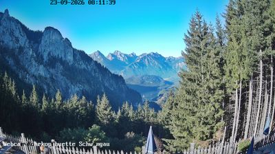
Webcam en directo



Remontes abiertos: 0/5
Parte de nieve
- Últimas 24h: 0 cm
- Últimas 72h: 0 cm
- Últimos 7 días: 0 cm
- Últimos 7 días: Valle 0cm · Media montaña 0cm · Cumbre 0cm
- Acumulado de temporada: 0 cm
Estaciones de esquí abiertas ahora · Parte de nieve
About Schwangau
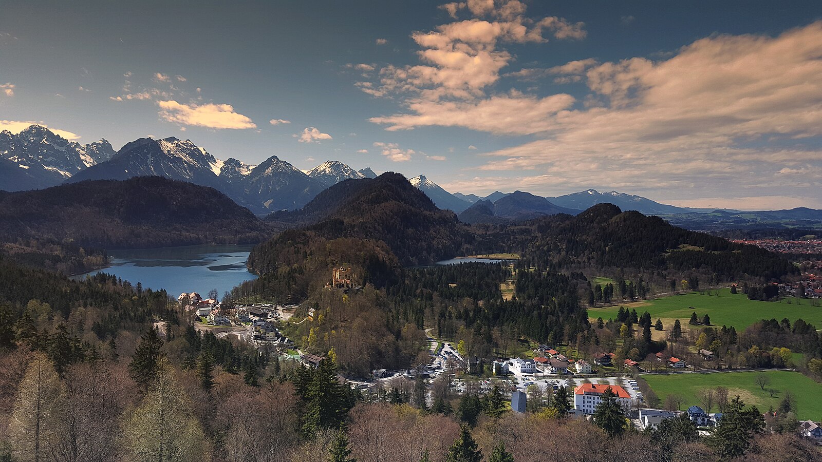
The gateway to Bavaria’s royal fantasies, where fairytale castles overlook a landscape of cobalt lakes and storied forests.
Highlights
- Royal castle views
- Bavarian thermal baths
- Alpine lake swimming
- Romantic Road terminus
Key Facts
- Altitude: 1344m
- Top lift: 1730m
- Ski pistes: 3km
- Ski lifts: 6
- Population: 3,453
- Lakes nearby: 36
- MTB trails: 183km
- Mountain huts: 16
Ski Area
Weather and 10-day forecast for Schwangau
- Today: 5 to 11 °C, overcast, 1 h of sunshine
- Freezing level today: about 2939 m (2350 to 3750 m)
| Day | Min / max | Sky | Precipitation | Sunshine |
|---|---|---|---|---|
| jue, 24 sept | 5 / 11 °C | overcast | dry | 1 h sun |
| vie, 25 sept | 4 / 13 °C | clear sky | dry | 12 h sun |
| sáb, 26 sept | 8 / 17 °C | clear sky | dry | 8 h sun |
| dom, 27 sept | 7 / 19 °C | clear sky | dry | 12 h sun |
| lun, 28 sept | 8 / 20 °C | clear sky | dry | 12 h sun |
| mar, 29 sept | 11 / 20 °C | clear sky | dry | 12 h sun |
| mié, 30 sept | 12 / 20 °C | clear sky | dry | 11 h sun |
| jue, 1 oct | 9 / 19 °C | clear sky | dry | 10 h sun |
| vie, 2 oct | 7 / 11 °C | drizzle | dry | 0 h sun |
| sáb, 3 oct | 5 / 13 °C | drizzle | dry | 0 h sun |
Things to do in Schwangau
Hikes nearby — Schwangau (15)
15 curated hiking trails around Schwangau, sourced from OpenStreetMap and enriched with distance, elevation gain and difficulty.
-
Alpsee-Rundweg
The Alpsee-Rundweg traces the shore of the Alpsee, with views of both Neuschwanstein and Hohenschwangau castles rising above the Alpine landscape. In summer, small bays along the lake offer spots to wade in, and the route also passes the Museum of the Bavarian Kings.
-
Lechweg
The Lechweg follows the Lech River from its source at Formarinsee lake through one of Europe's last wild river landscapes, passing Europe's largest ibex colony, swinging suspension bridges, and mysterious waterfalls framed by the Lechtal and Allgäu Alps. The route threads through river meadows and forests before arriving at views of the Bavarian royal castles of Neuschwanstein and Hohenschwangau near Füssen.
-
Via Alpina Purple A62
Kenzenhütte - Füssen
-
Naturpfad Ahornreitweg
Este sendero sigue la ruta trazada alrededor de 1850 por el rey Maximiliano II, quien lo utilizaba para ir a caballo hasta su pabellón de caza en el Tegelberg. Paneles informativos situados en puntos clave del recorrido narran la historia de las montañas y los bosques por los que pasa el sendero.
-
Schutzengelweg
The Schutzengelweg is a culture path climbing the Tegelberg mountain, leading to the Rohrkopfhütte alpine cabin.
-
Dürrenbergweg
-
Via Alpina Purple A61
Linderhof - Kenzenhütte
-
Via Alpina Purple A63
Füssen - Pfronten
-
BT 2 Scheinbergspitz
-
Hopfensee-Rundweg
Rund um den Hopfensee
-
Wanderwegenetz Gemeinde Rieden am Forggensee
Wanderwege (meist) ohne Nummerierung
-
Bilderbuchwanderung am Forggensee
-
BT 3 Kreuzspitze
-
Wanderwegenetz Gemeinde Roßhaupten
Wanderwege (meist) ohne Nummerierung
-
5 Roßhauptens schönste Ecken
Mountain biking near Schwangau
- Dürrenbergalpe
- Pflach - Urisee
- Dreiwässerweg
- Schützensteig
- Ahornreitweg
- Kitzbergweg
- Oberer Winterzugweg
Getting to Schwangau
Door-to-door travel times as used by the MR. ALPS ranking.
- Nearest airport: Memmingen Allgau Airport (FMM), 63 km away, about 1h23 by road
- Innsbruck: 2h01 by car, 119 km
- München: 2h03 by car, 122 km
- Stuttgart: 2h47 by car, 234 km
- Zürich: 3h19 by car, 244 km
- Bolzano - Bozen: 3h25 by car, 231 km
- Nürnberg: 3h31 by car, 319 km
Where to stay in Schwangau
200 places to stay for a night on 2026-09-25, from 280 EUR per night, median 314 EUR. Prices are direct with hotels and destinations, compared live on the Schwangau page.