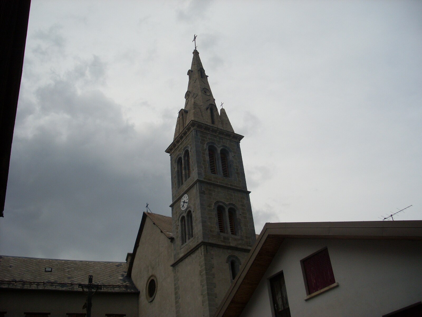
Saint-Michel-de-Chaillol
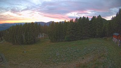
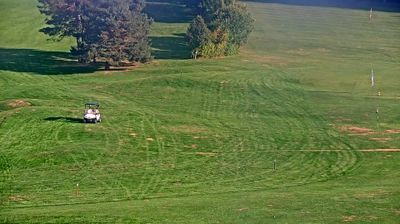
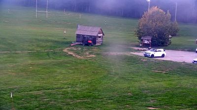
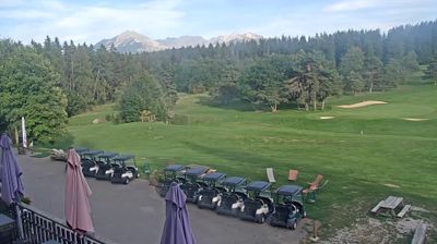
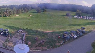
Webcam en directo

Remontes abiertos: 0%
Parte de nieve
- Últimas 24h: 0 cm
- Últimas 72h: 0 cm
- Últimos 7 días: 0 cm
- Últimos 7 días: Valle 0cm · Media montaña 0cm · Cumbre 0cm
- Acumulado de temporada: 0 cm
Estaciones de esquí abiertas ahora · Parte de nieve
About Saint-Michel-de-Chaillol
A quiet, sun-soaked balcony over the Champsaur valley, where family-run hospitality meets the wild edges of the Écrins.
Highlights
- South-facing slopes
- Traditional stone hamlets
- Family-friendly atmosphere
- High-altitude hiking
Key Facts
- Altitude: 1450m
- Top lift: 2000m
- Ski pistes: 13km
- Ski lifts: 8
- Population: 367
- Lakes nearby: 12
- MTB trails: 214.9km
- Mountain huts: 2
Ski Area
Weather and 10-day forecast for Saint-Michel-de-Chaillol
- Today: 11 to 17 °C, clear sky, 10 h of sunshine
- Freezing level today: about 4443 m (4280 to 4540 m)
| Day | Min / max | Sky | Precipitation | Sunshine |
|---|---|---|---|---|
| vie, 25 sept | 11 / 17 °C | clear sky | dry | 10 h sun |
| sáb, 26 sept | 9 / 17 °C | clear sky | dry | 11 h sun |
| dom, 27 sept | 10 / 16 °C | clear sky | dry | 12 h sun |
| lun, 28 sept | 9 / 18 °C | clear sky | dry | 12 h sun |
| mar, 29 sept | 10 / 19 °C | partly cloudy | dry | 6 h sun |
| mié, 30 sept | 12 / 20 °C | partly cloudy | dry | 9 h sun |
| jue, 1 oct | 11 / 16 °C | overcast | dry | 2 h sun |
| vie, 2 oct | 8 / 13 °C | rain | dry | 1 h sun |
| sáb, 3 oct | 6 / 14 °C | overcast | dry | 1 h sun |
| dom, 4 oct | 7 / 14 °C | clear sky | dry | 12 h sun |
Things to do in Saint-Michel-de-Chaillol
Hikes nearby — Saint-Michel-de-Chaillol (17)
17 curated hiking trails around Saint-Michel-de-Chaillol, sourced from OpenStreetMap and enriched with distance, elevation gain and difficulty.
-
Tour du Chaillol
A five-day GR® de Pays loop, this route threads between the high-mountain Valgaudemar valley and the hedgerow landscapes of the Champsaur, circling the 3,163 m peak of Vieux Chaillol deep in the Parc National des Écrins. Along the way, glacial cirques, mountain lakes, and passes such as the Col de Vallonpierre and Col de la Vallette share the terrain with ibex, marmots, and chamois.
-
Le Clos Chenu - Peyre Gerle
-
Pont des Marrons - Chahio Vieux
-
Tour du Chaillol (Variante par le Refuge du Tourond)
-
La Grande Bàume - Les Cabanes
-
Col de la Venasque - Planure
-
Planure - Prés du Clot
-
Le refuge du Tourond
Balade familiale pour découvrir les paysages fréquentés par les bouquetins et profiter d'une halte au refuge du Tourond.
-
Les Fermonds - ?
-
Prés du Clot - Sous Coste Fourranne
-
Le Ranc - Le Cuchon
-
Le Gourgeon - Mestrinquier
-
Le Ranc - Le Serre du Milieu
-
Le Collet d'Ancelle - ?
-
Les Dents - ?
-
Chapeau de Napoléon
-
Les lacs de Crupillouse
Mountain biking near Saint-Michel-de-Chaillol
- St Bonnet Plan d'Eau
- Les 1000 Virages
- Chemin des Barbeyroux
- Chemin de Grand Couaste
Getting to Saint-Michel-de-Chaillol
Door-to-door travel times as used by the MR. ALPS ranking.
- Nearest airport: Lyon Saint-Exupéry Airport (LYS), 142 km away, about 2h40 by road
- Grenoble: 2h09 by car, 99 km
- Chambéry: 2h46 by car, 158 km
- Marseille: 2h56 by car, 208 km
- Annecy: 3h19 by car, 205 km
- Lyon: 3h19 by car, 200 km
- Genève: 3h46 by car, 243 km
Where to stay in Saint-Michel-de-Chaillol
42 places to stay for a night on 2026-09-25, from 75 EUR per night, median 143 EUR. Prices are direct with hotels and destinations, compared live on the Saint-Michel-de-Chaillol page.