Raggal
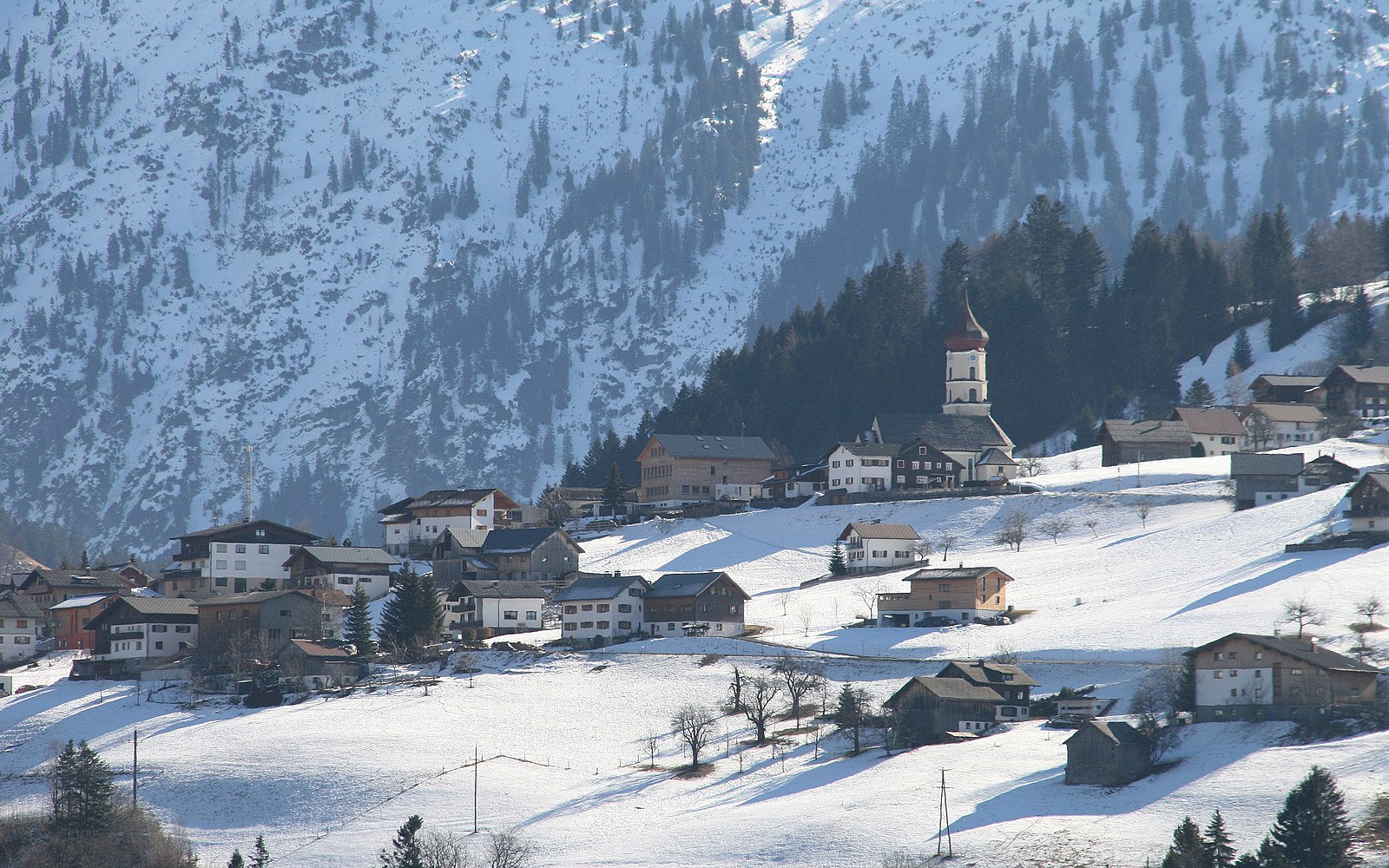
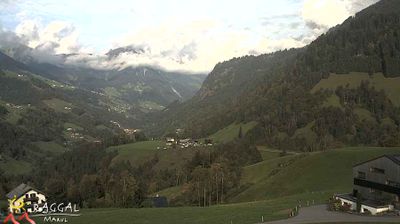
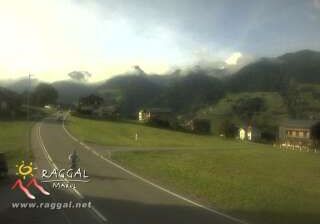
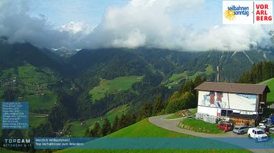
Webcam en directo
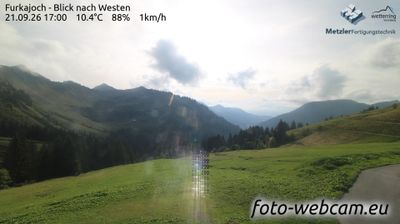
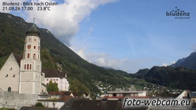
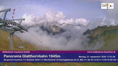
Remontes abiertos: 0/4
Parte de nieve
- Últimas 24h: 0 cm
- Últimas 72h: 0 cm
- Últimos 7 días: 0 cm
- Últimos 7 días: Valle 0cm · Media montaña 0cm · Cumbre 0cm
- Acumulado de temporada: 0 cm
Estaciones de esquí abiertas ahora · Parte de nieve
About Raggal
A quiet Walser settlement where slow tourism prevails among preserved timber farmhouses and deep-rooted Vorarlberg traditions.
Highlights
- Walser heritage
- Pristine mountain silence
- Traditional timber architecture
- Authentic village life
Key Facts
- Altitude: 966m
- Top lift: 1300m
- Ski pistes: 7km
- Ski lifts: 4
- Population: 835
- Lakes nearby: 14
- MTB trails: 80.3km
- Mountain huts: 9
Ski Area
Incluido en estos pases de temporada
Weather and 10-day forecast for Raggal
- Today: 5 to 17 °C, clear sky, 12 h of sunshine
- Freezing level today: about 3864 m (3250 to 4160 m)
| Day | Min / max | Sky | Precipitation | Sunshine |
|---|---|---|---|---|
| vie, 25 sept | 5 / 17 °C | clear sky | dry | 12 h sun |
| sáb, 26 sept | 9 / 21 °C | clear sky | dry | 12 h sun |
| dom, 27 sept | 12 / 22 °C | clear sky | dry | 12 h sun |
| lun, 28 sept | 13 / 22 °C | clear sky | dry | 12 h sun |
| mar, 29 sept | 14 / 22 °C | clear sky | dry | 11 h sun |
| mié, 30 sept | 14 / 22 °C | clear sky | dry | 12 h sun |
| jue, 1 oct | 12 / 21 °C | clear sky | dry | 9 h sun |
| vie, 2 oct | 10 / 14 °C | drizzle | dry | 0 h sun |
| sáb, 3 oct | 8 / 16 °C | drizzle | dry | 4 h sun |
| dom, 4 oct | 6 / 18 °C | clear sky | dry | 11 h sun |
Things to do in Raggal
Hikes nearby — Raggal (7)
7 curated hiking trails around Raggal, sourced from OpenStreetMap and enriched with distance, elevation gain and difficulty.
-
Wiesweg
A gentle meadow path from Raggal past the church and up to the Lärchenhof, running nearly level toward Ludescherberg with the Walserkamm ridge visible across the valley the entire way. In spring and early summer, the flower-strewn meadows make it a quiet insider tip for those seeking colourful wildflower diversity.
-
Alte Raggalerstraße
This groomed winter trail follows the route of a former road that once connected Raggal to Ludesch, passing through the "Falazera" district before descending gently to meet the old Raggalerstraße. The route starts at the village church and skirts past the sports field, with a bus stop on the L88 road offering an alternative return rather than retracing your steps.
-
Alter Walserweg
The Alter Walserweg threads through nearly untouched nature, linking the villages of Ludesch, Thüringerberg, St. Gerold, Blons, and Raggal via forest paths, well-maintained bridges, and open meadows. The route passes directly through the Propstei St. Gerold and descends through the Hölltobel gorge, with a steady rhythm of ascent and descent along the Lutz river valley toward the Blons reservoir dam.
-
Via Alpina Red R54
Buchboden - St. Gerold
-
Via Alpina Red R55
St. Gerold - Feldkirch
-
Panoramaweg
NONE (The excerpts do not contain specific information about a trail called "Panoramaweg" in Raggal — the trails described are the Wiesweg and related routes, not the Panoramaweg.)
-
Walgauweg
Mountain biking near Raggal
- Bad Waldweg
- Netschelweg
- Käseweg
- Bickelwald Steintobel
- Jörglisboden
Getting to Raggal
Door-to-door travel times as used by the MR. ALPS ranking.
- Nearest airport: Sankt Gallen Altenrhein Airport (ACH), 37 km away, about 50 min by road
- Zürich: 1h57 by car, 159 km
- Innsbruck: 2h01 by car, 151 km
- Luzern: 2h18 by car, 175 km
- München: 2h35 by car, 238 km
- Basel: 2h50 by car, 238 km
- Stuttgart: 2h57 by car, 276 km
Where to stay in Raggal
200 places to stay for a night on 2026-10-02, from 93 EUR per night, median 237 EUR. Prices are direct with hotels and destinations, compared live on the Raggal page.