Prà Alpesina
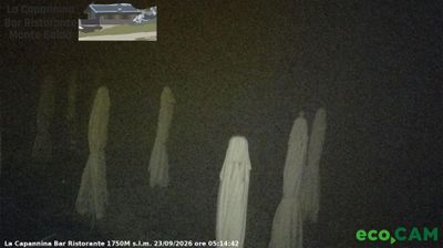
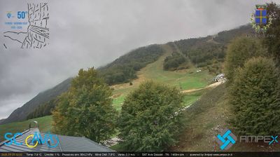
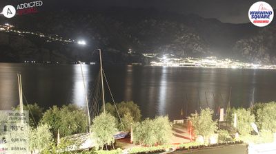
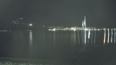
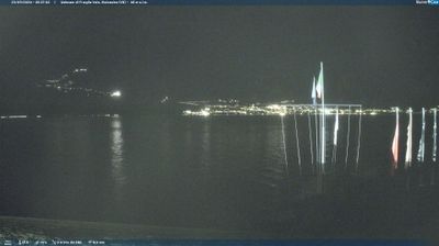
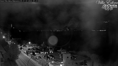
Webcam en directo
Remontes abiertos: 0%
Parte de nieve
- Últimas 24h: 0 cm
- Últimas 72h: 0 cm
- Últimos 7 días: 0 cm
- Últimos 7 días: Valle 0cm · Media montaña 0cm · Cumbre 0cm
- Acumulado de temporada: 0 cm
Estaciones de esquí abiertas ahora · Parte de nieve
About Prà Alpesina
A hidden terrace over Lake Garda where skiers carve through maritime air with dramatic blue water horizons and rugged limestone peaks.
Highlights
- Lakeside mountain views
- Panoramic chairlift rides
- Quiet botanical trails
- Untamed Trentino terrain
Key Facts
- Altitude: 1446m
- Top lift: 1837m
- Ski pistes: 10km
- Ski lifts: 6
- MTB trails: 65.7km
- Mountain huts: 22
Ski Area
Weather and 10-day forecast for Prà Alpesina
- Today: 7 to 11 °C, overcast, 2 h of sunshine
- Freezing level today: about 3712 m (3170 to 4200 m)
| Day | Min / max | Sky | Precipitation | Sunshine |
|---|---|---|---|---|
| vie, 25 sept | 7 / 11 °C | overcast | dry | 2 h sun |
| sáb, 26 sept | 6 / 13 °C | clear sky | dry | 11 h sun |
| dom, 27 sept | 8 / 15 °C | clear sky | dry | 12 h sun |
| lun, 28 sept | 8 / 15 °C | clear sky | dry | 10 h sun |
| mar, 29 sept | 9 / 15 °C | clear sky | dry | 9 h sun |
| mié, 30 sept | 7 / 11 °C | overcast | dry | 1 h sun |
| jue, 1 oct | 5 / 13 °C | clear sky | dry | 10 h sun |
| vie, 2 oct | 4 / 10 °C | clear sky | dry | 8 h sun |
| sáb, 3 oct | 5 / 15 °C | clear sky | dry | 6 h sun |
| dom, 4 oct | 5 / 15 °C | clear sky | dry | 8 h sun |
Things to do in Prà Alpesina
Hikes nearby — Prà Alpesina (20)
20+ curated hiking trails around Prà Alpesina, sourced from OpenStreetMap and enriched with distance, elevation gain and difficulty.
-
Alta Via del Monte Baldo
Una exigente caminata por la cresta a lo largo de las cimas del Monte Baldo, que abarca tres etapas entre Caprino Veronese y Nago en la frontera entre Veneto y Trentino, con amplias vistas sobre el lago de Garda durante todo el recorrido. Varios refugios de montaña jalonan la ruta, ofreciendo alojamiento nocturno a lo largo del camino.
-
Sentiero Bovi o del Marocco
-
Giro delle Malghe - variante breve
The route winds through the traditional farming landscape of Monte Baldo, passing alpine meadows where wild herbs mix with cool mountain air. It traces a circuit among the *malghe* — the ancient mountain dairy farms — of this storied ridge on the southern border between Trentino and Veneto, crossing enchanting woodland in between.
-
Sentiero delle Creste
prestare attenzione all'attraversamento del fianco orientale di Cima Valdritta e sulle creste. Acqua potabile non disponibile tra la funivia e il Rifugio Telegrafo
-
Sentiero Agostino Goiran
-
Sentiero dei Contrabbandieri
A long horizontal ledge — sometimes less than a metre wide — traces the cliffs above Lake Garda, dissolving in places into exposed traverses protected by steel cables. The path crosses the old border between Austria-Hungary and Italy, a route once used by smugglers carrying sugar and tobacco between the two countries.
-
Giro delle Malghe
A loop through the high pastures (*malghe*) of Monte Baldo, on the southern border between Trentino and Veneto, passing through enchanting forests in near-silent contemplation. The route carries an ancient, slightly mysterious character that rewards those with the legs and stamina for long mountain days.
-
Zovel - Malga Brione
-
Malcesine - interruzione
-
Sentiero Natura
-
Anello San Nicola - 1 Nordic Walking Park
Sentiero della rete Nordic Walking Park del Comune di Brenzone Sul Garda
-
Sentiero Sorgente
-
Sentiero della Pastora
-
Strada della Selva e Sentiero degli Archetti
-
Belluno Veronese - Passo del Cerbiolo
-
Via ferrata "Gerardo Sega"
The Gerardo Sega Via Ferrata cuts through an impressive natural amphitheater of red and yellow rocks above Avio, where spectacular panoramic ledges traverse overhanging walls. Views stretch out over the Adige Valley below.
-
Il Signor - Prai - Bocca di Navene
The Ventrar's path has exposed sites, reserved for experienced hikers only
-
Bassa Via del Garda
-
Castel Saiori - Chizzola
-
Anello Campo - 3 Nordic Walking Park
Sentiero della rete Nordic Walking Park del Comune di Brenzone Sul Garda
Mountain biking near Prà Alpesina
- Sentiero degli Archetti
- Strada de la Selva
Getting to Prà Alpesina
Door-to-door travel times as used by the MR. ALPS ranking.
- Nearest airport: Verona Villafranca Valerio Catullo Airport (VRN), 37 km away, about 1h06 by road
- Trento: 1h03 by car, 68 km
- Verona: 1h10 by car, 64 km
- Bolzano - Bozen: 1h36 by car, 121 km
- Brescia: 1h37 by car, 98 km
- Padova: 1h55 by car, 143 km
- Bologna: 2h29 by car, 191 km
Where to stay in Prà Alpesina
200 places to stay for a night on 2026-09-25, from 127 EUR per night, median 187 EUR. Prices are direct with hotels and destinations, compared live on the Prà Alpesina page.