Piamprato
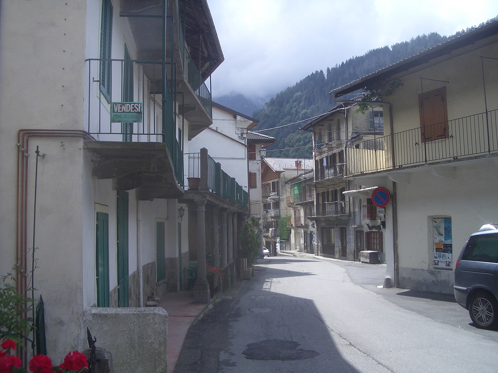
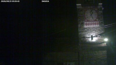
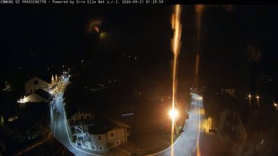
Webcam en directo

Parte de nieve
- Últimas 24h: 0 cm
- Últimas 72h: 0 cm
- Últimos 7 días: 0 cm
- Últimos 7 días: Valle 0cm · Media montaña 0cm · Cumbre 0cm
- Acumulado de temporada: 0 cm
Estaciones de esquí abiertas ahora · Parte de nieve
About Piamprato
A secluded Piedmontese hamlet where the wild silence of Gran Paradiso meets the slow-paced soul of traditional stone-house living.
Highlights
- Untamed wilderness
- Piedmontese soul
- Gran Paradiso access
- Rustic stone architecture
Key Facts
- Altitude: 1400m
- Top lift: 1638m
- Ski pistes: 1km
- Ski lifts: 1
- Population: 92
- Lakes nearby: 44
- MTB trails: 38.2km
- Mountain huts: 13
Ski Area
Weather and 10-day forecast for Piamprato
- Today: 8 to 13 °C, fog, 2 h of sunshine
- Freezing level today: about 4249 m (3910 to 4550 m)
| Day | Min / max | Sky | Precipitation | Sunshine |
|---|---|---|---|---|
| vie, 25 sept | 8 / 13 °C | fog | dry | 2 h sun |
| sáb, 26 sept | 8 / 15 °C | partly cloudy | dry | 7 h sun |
| dom, 27 sept | 10 / 15 °C | clear sky | dry | 8 h sun |
| lun, 28 sept | 11 / 16 °C | partly cloudy | dry | 9 h sun |
| mar, 29 sept | 11 / 14 °C | partly cloudy | dry | 5 h sun |
| mié, 30 sept | 10 / 12 °C | overcast | dry | 1 h sun |
| jue, 1 oct | 9 / 11 °C | partly cloudy | dry | 4 h sun |
| vie, 2 oct | 8 / 11 °C | drizzle | dry | 5 h sun |
| sáb, 3 oct | 8 / 10 °C | drizzle | dry | 1 h sun |
| dom, 4 oct | 8 / 9 °C | drizzle | dry | 0 h sun |
Things to do in Piamprato
Hikes nearby — Piamprato (5)
5 curated hiking trails around Piamprato, sourced from OpenStreetMap and enriched with distance, elevation gain and difficulty.
-
Via Alpina Blue D24
-
Via Alpina Blue D23
-
GTA: Piamprato - Ronco Canavese
The route crosses the Colle della Borra — a pass whose very name echoes the tunnels and caves of old mining works — then descends past the Sanctuary of San Besso and through the abandoned hamlet of Andorina, where a Common Ash tree has been designated a monumental tree of Piedmont, before finishing through larch and spruce forest into Ronco Canavese.
-
GTA: Le Fondo - Piamprato
La Grande Traversata delle Alpi (GTA) è un itinerario escursionistico di lunga percorrenza che unisce tutto l'arco alpino occidentale del Piemonte, in Italia, nato ispirato dall'esperienza francese della Grande Traversée des Alpes verso la fine degli anni settanta, che cerca di privilegiare i luoghi meno conosciuti dal turismo di montagna.
-
Alta Via n. 2 della Valle d'Aosta - Tappa 13
Tappa n. 13 - Champorcher (1.422 mt.) - Crest (1.170 mt.)
Getting to Piamprato
Door-to-door travel times as used by the MR. ALPS ranking.
- Nearest airport: Turin Airport (TRN), 41 km away, about 1h21 by road
- Torino: 1h31 by car, 73 km
- Milano: 2h31 by car, 165 km
- Genova: 3h04 by car, 225 km
- Brescia: 3h22 by car, 252 km
- Genève: 3h41 by car, 250 km
- Annecy: 3h50 by car, 262 km
Where to stay in Piamprato
23 places to stay for a night on 2026-09-25, from 208 EUR per night, median 257 EUR. Prices are direct with hotels and destinations, compared live on the Piamprato page.