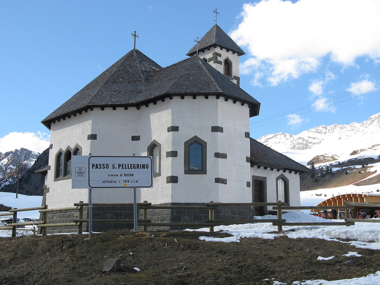
Passo San Pellegrino
Webcam en directo
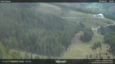
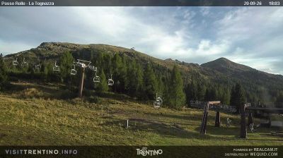
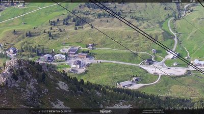
Remontes abiertos: 18%
Parte de nieve
- Últimas 24h: 0 cm
- Últimas 72h: 0 cm
- Últimos 7 días: 0 cm
- Últimos 7 días: Valle 0cm · Media montaña 0cm · Cumbre 0cm
- Acumulado de temporada: 0.4 cm
Estaciones de esquí abiertas ahora · Parte de nieve
About Passo San Pellegrino
A high-altitude sanctuary where wide, sun-drenched slopes meet the quiet, rugged wilderness of the Dolomiti Bellunesi.
Highlights
- Vast alpine meadows
- Sun-soaked plateaus
- Quiet mountain passes
- Panoramic ridge runs
Key Facts
- Altitude: 1918m
- Top lift: 2513m
- Ski pistes: 67km
- Ski lifts: 15
- Lakes nearby: 13
- MTB trails: 136.1km
- Mountain huts: 77
Ski Area
Incluido en estos pases de temporada
Weather and 10-day forecast for Passo San Pellegrino
- Today: 3 to 11 °C, clear sky, 10 h of sunshine
- Freezing level today: about 3348 m (2770 to 4080 m)
| Day | Min / max | Sky | Precipitation | Sunshine |
|---|---|---|---|---|
| vie, 25 sept | 3 / 11 °C | clear sky | dry | 10 h sun |
| sáb, 26 sept | 5 / 14 °C | clear sky | dry | 12 h sun |
| dom, 27 sept | 7 / 15 °C | clear sky | dry | 11 h sun |
| lun, 28 sept | 8 / 16 °C | clear sky | dry | 10 h sun |
| mar, 29 sept | 7 / 14 °C | partly cloudy | dry | 6 h sun |
| mié, 30 sept | 6 / 14 °C | partly cloudy | dry | 6 h sun |
| jue, 1 oct | 4 / 14 °C | partly cloudy | dry | 8 h sun |
| vie, 2 oct | 3 / 10 °C | overcast | dry | 1 h sun |
| sáb, 3 oct | 3 / 11 °C | partly cloudy | dry | 5 h sun |
| dom, 4 oct | 1 / 12 °C | overcast | dry | 3 h sun |
Things to do in Passo San Pellegrino
Hikes nearby — Passo San Pellegrino (17)
17 curated hiking trails around Passo San Pellegrino, sourced from OpenStreetMap and enriched with distance, elevation gain and difficulty.
-
Sentiero de le Cirele
The Sentiero de le Cirele winds through the heart of the Marmolada group, where the scent of alpine meadows mixes with the crisp mountain air, beginning from Rifugio Contrin.
-
Via Alpina Yellow B23
Rifugio Contrin - Fontanazzo
-
Dolomites World Heritage Geotrail 40
-
Dolomites World Heritage Geotrail 39
-
Via ferrata "Bepi Zac"
The Bepi Zac runs along the Costabella Ridge above Passo San Pellegrino in the Val di Fassa Dolomites, a difficult via ferrata route through the San Pellegrino valley that finishes at Rifugio Passo delle Selle.
-
Via Ferrata Bepi Zac
The Alta Via Bepi Zac runs along the Costabella Ridge in the Val di Fassa Dolomites, reaching a maximum elevation of 2,747 m, with the route finishing at Rifugio Passo delle Selle. It is described as a very beautiful itinerary traversing this high ridge in the province of Trento.
-
Via ferrata "Bruno Federspiel"
A ridge-crossing route high above the Val di Fassa, the via ferrata threads through tunnels (*stollen*) and past remnants of the First World War — concentrated especially around Passo delle Selle — before traversing the Cresta de le Selle and the summit of Punta Alochet.
-
Troi de Pozil
-
Dolomites World Heritage Geotrail 38
-
Cammino delle Dolomiti - Tappa 09
-
Via Alpina Yellow B22
Passo Pordoi - Rifugio Contrin
-
Dolomites World Heritage Geotrail 41
-
Via ferrata di Forcella Marmolada
-
Via dei Rusci
-
Viel del Pan
-
Sentiero Camosci
-
Col Pelous
Mountain biking near Passo San Pellegrino
- Alta Via dei Pastori
- Sentiero forestale per Lagusel
Getting to Passo San Pellegrino
Door-to-door travel times as used by the MR. ALPS ranking.
- Nearest airport: Venice Marco Polo Airport (VCE), 106 km away, about 2h19 by road
- Bolzano - Bozen: 1h12 by car, 57 km
- Trento: 1h33 by car, 98 km
- Verona: 2h31 by car, 193 km
- Padova: 2h34 by car, 187 km
- Innsbruck: 2h39 by car, 171 km
- Brescia: 3h02 by car, 229 km
Where to stay in Passo San Pellegrino
136 places to stay for a night on 2026-09-25, from 115 EUR per night, median 202 EUR. Prices are direct with hotels and destinations, compared live on the Passo San Pellegrino page.