Mendelpass – Monte Roen
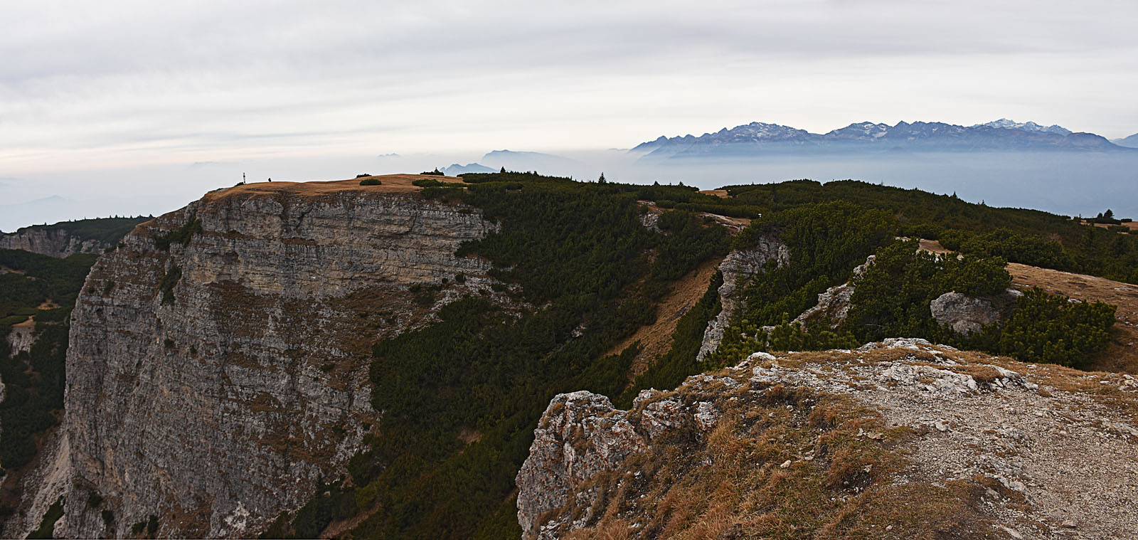
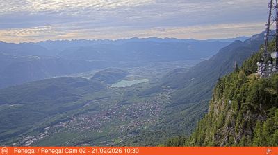
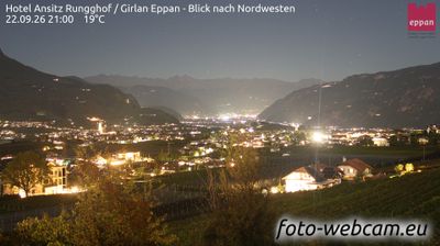
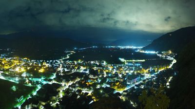
Webcam en directo
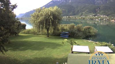
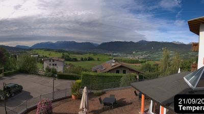
Remontes abiertos: 0%
Parte de nieve
- Últimas 24h: 0 cm
- Últimas 72h: 0 cm
- Últimos 7 días: 0 cm
- Últimos 7 días: Valle 0cm · Media montaña 0cm · Cumbre 0cm
- Acumulado de temporada: 0 cm
Estaciones de esquí abiertas ahora · Parte de nieve
About Mendelpass – Monte Roen
A nostalgic mountain pass where Hapsburg-era grandeur meets sweeping views of the Adige Valley and the Dolomite spires.
Highlights
- Belle Époque villas
- Historic funicular access
- Panoramic ridge hiking
- Austro-Italian heritage
Key Facts
- Altitude: 1368m
- Top lift: 1597m
- Ski pistes: 3.2km
- Ski lifts: 3
- Population: 1,523
- Lakes nearby: 15
- MTB trails: 189.2km
- Mountain huts: 12
Ski Area
Weather and 10-day forecast for Mendelpass – Monte Roen
- Today: 7 to 14 °C, partly cloudy, 8 h of sunshine
- Freezing level today: about 3580 m (3050 to 4160 m)
| Day | Min / max | Sky | Precipitation | Sunshine |
|---|---|---|---|---|
| vie, 25 sept | 7 / 14 °C | partly cloudy | dry | 8 h sun |
| sáb, 26 sept | 7 / 16 °C | clear sky | dry | 10 h sun |
| dom, 27 sept | 8 / 19 °C | clear sky | dry | 12 h sun |
| lun, 28 sept | 9 / 20 °C | clear sky | dry | 12 h sun |
| mar, 29 sept | 9 / 19 °C | clear sky | dry | 11 h sun |
| mié, 30 sept | 11 / 18 °C | clear sky | dry | 9 h sun |
| jue, 1 oct | 11 / 17 °C | clear sky | dry | 10 h sun |
| vie, 2 oct | 8 / 13 °C | overcast | dry | 1 h sun |
| sáb, 3 oct | 7 / 15 °C | clear sky | dry | 11 h sun |
| dom, 4 oct | 4 / 15 °C | clear sky | dry | 11 h sun |
Things to do in Mendelpass – Monte Roen
Hikes nearby — Mendelpass – Monte Roen (20)
20+ curated hiking trails around Mendelpass – Monte Roen, sourced from OpenStreetMap and enriched with distance, elevation gain and difficulty.
-
Kalterer Höhenweg - Alta via di Caldaro
The trail runs almost constantly at roughly one third of the height of the Mendel slope, tracing a high contour path from the Kalterer Höhe in the north to the Gummererhof farm above Tramin in the south. At the Mendelpass, the route crosses the provincial and linguistic boundary between South Tyrol and Trentino, with the Roen — at 2,116 m the highest peak of the Mendel ridge — rising above.
-
Naturerlebnisweg
-
Sentiero alpinistico attrezzato delle Cime
-
Cammino del beato Enrico - Tappa 2
-
Taurisweg
-
Südtirols Süden 3767
-
Göllersteig
-
Traminer Höhenweg - Alta Via di Termeno
-
Murundum 4
-
Panoramaweg
-
Kaltererseeweg - Sentiero del Lago di Caldaro
-
Kastelazweg
-
Gewürztraminerweg
-
Sentiero Frassati - Tappa 7 via per Smarano
-
Via Vigilius - Tappa 4
-
Sentiero Frassati
-
Via Vigilius
-
Cammino Jacopeo d'Anaunia
-
8 - Neumarkt => Laag => Gfrill
-
Eppaner Höhenweg - Alta Via di Appiano
Mountain biking near Mendelpass – Monte Roen
- 538 Prazollersteig
- Via Roen
- Taurisweg
- Göllersteig - Sentiero del Col di Sotto
Getting to Mendelpass – Monte Roen
Door-to-door travel times as used by the MR. ALPS ranking.
- Nearest airport: Bolzano Airport (BZO), 15 km away, about 1h59 by road
- Bolzano - Bozen: 1h58 by car, 51 km
- Trento: 2h06 by car, 60 km
- Verona: 3h05 by car, 156 km
- Innsbruck: 3h30 by car, 173 km
- Brescia: 3h35 by car, 192 km
- Padova: 3h49 by car, 236 km
Where to stay in Mendelpass – Monte Roen
200 places to stay for a night on 2026-09-25, from 149 EUR per night, median 218 EUR. Prices are direct with hotels and destinations, compared live on the Mendelpass – Monte Roen page.