Lenzerheide
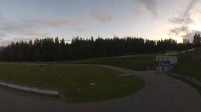
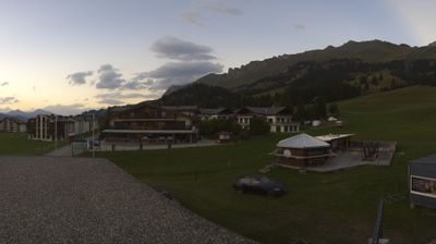
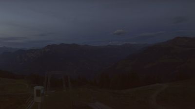
Webcam en directo
Remontes abiertos: 0/43
Parte de nieve
- Últimas 24h: 0 cm
- Últimas 72h: 0 cm
- Últimos 7 días: 0 cm
- Últimos 7 días: Valle 0cm · Media montaña 0cm · Cumbre 0cm
- Acumulado de temporada: 6.9 cm
Estaciones de esquí abiertas ahora · Parte de nieve
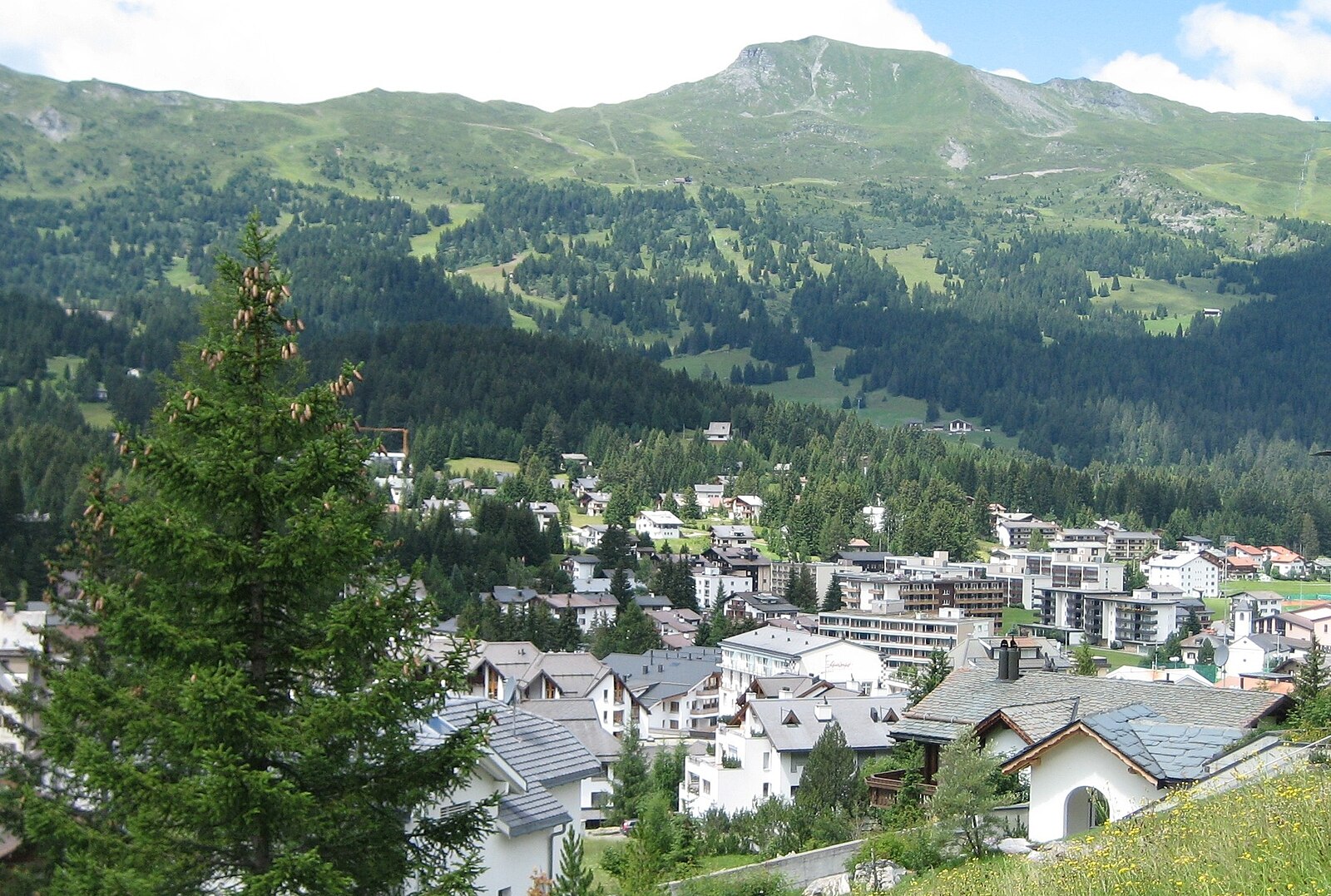
About Lenzerheide
A sophisticated Swiss hideaway where sun-soaked slopes meet high-end design and a surprisingly understated, family-friendly energy.
Highlights
- Dual-mountain connectivity
- Gourmet mountain huts
- Pristine lakeside trails
- Sleek modern architecture
Key Facts
- Altitude: 1475m
- Top lift: 2865m
- Ski pistes: 225km
- Ski lifts: 43
- Population: 1,074
- Lakes nearby: 14
- MTB trails: 126.6km
- Mountain huts: 4
Ski Area
Incluido en estos pases de temporada
Weather and 10-day forecast for Lenzerheide
- Today: 3 to 16 °C, clear sky, 11 h of sunshine
- Freezing level today: about 3685 m (3450 to 3840 m)
| Day | Min / max | Sky | Precipitation | Sunshine |
|---|---|---|---|---|
| mié, 23 sept | 3 / 16 °C | clear sky | dry | 11 h sun |
| jue, 24 sept | 5 / 15 °C | overcast | dry | 3 h sun |
| vie, 25 sept | 3 / 16 °C | partly cloudy | dry | 4 h sun |
| sáb, 26 sept | 8 / 19 °C | clear sky | dry | 12 h sun |
| dom, 27 sept | 9 / 21 °C | clear sky | dry | 12 h sun |
| lun, 28 sept | 9 / 23 °C | clear sky | dry | 12 h sun |
| mar, 29 sept | 9 / 24 °C | clear sky | dry | 12 h sun |
| mié, 30 sept | 9 / 23 °C | partly cloudy | dry | 11 h sun |
| jue, 1 oct | 10 / 20 °C | rain showers | 10 mm rain | 11 h sun |
| vie, 2 oct | 5 / 10 °C | rain showers | 23 mm rain | 0 h sun |
Things to do in Lenzerheide
Hikes nearby — Lenzerheide (20)
20+ curated hiking trails around Lenzerheide, sourced from OpenStreetMap and enriched with distance, elevation gain and difficulty.
-
Mittelbünden-Panoramaweg Stage 1
From Lenzerheide, the route climbs to the Parpaner Rothorn — where iron ore was once mined — then descends through a moonscape terrain, arolla pine forests, and past small idyllic lakes. The trail also passes through the Parc Ela, considered an insect oasis.
-
ViaSett
-
ViaSett
-
Via Sett Etappe 1 Thusis–Tiefencastel
-
Autschliweg
A forest path descending from the Rothornbahn's mid-station at Scharmoin into the village of Lenzerheide, where 15 hidden bear figures — each a version of Autschli, the handmade cherry-stone-filled mascot bear — are tucked among roots and rocks along the way. The route mixes learning installations with a grilling spot and a dedicated photo point, threading through woodland terrain that is walkable but uneven underfoot.
-
Globi Wanderweg
-
Alvaschein-Muldain
-
Alp Creusch Furcleta
-
Alter Schyn
-
Muldain-Siedlung Albula
-
Walserweg - Etappe 6
-
Via son Giachen
-
ViaSett
-
Walserweg - Etappe 7
-
Walserweg - Etappe 12
-
Familienweg Lenzerheide
-
Senda Crap la Tretscha
-
Heidbüel-Tgantieni-Höhenweg
-
Hängebrückenweg Val Meltger
-
Mittelbünden-Panoramaweg: Lenzerheide - Arosa Obersee
Mountain biking near Lenzerheide
- Arosa Lenzerheide Rundtour
- FLOWline
- PRIMEline
- Ninos Gold-Trail Nord-Loop
- STRAIGHTline
- Ninos Gold Trail Süd-Loop
- SHOREline
- STYLEline
Getting to Lenzerheide
Door-to-door travel times as used by the MR. ALPS ranking.
- Nearest airport: Bodensee Airport Friedrichshafen (FDH), 105 km away, about 2h by road
- Zürich: 1h46 by car, 140 km
- Luzern: 2h05 by car, 162 km
- Basel: 2h43 by car, 222 km
- Milano: 2h55 by car, 216 km
- Innsbruck: 3h08 by car, 237 km
- Biel/Bienne: 3h09 by car, 260 km
Where to stay in Lenzerheide
200 places to stay for a night on 2026-09-25, from 168 EUR per night, median 420 EUR. Prices are direct with hotels and destinations, compared live on the Lenzerheide page.