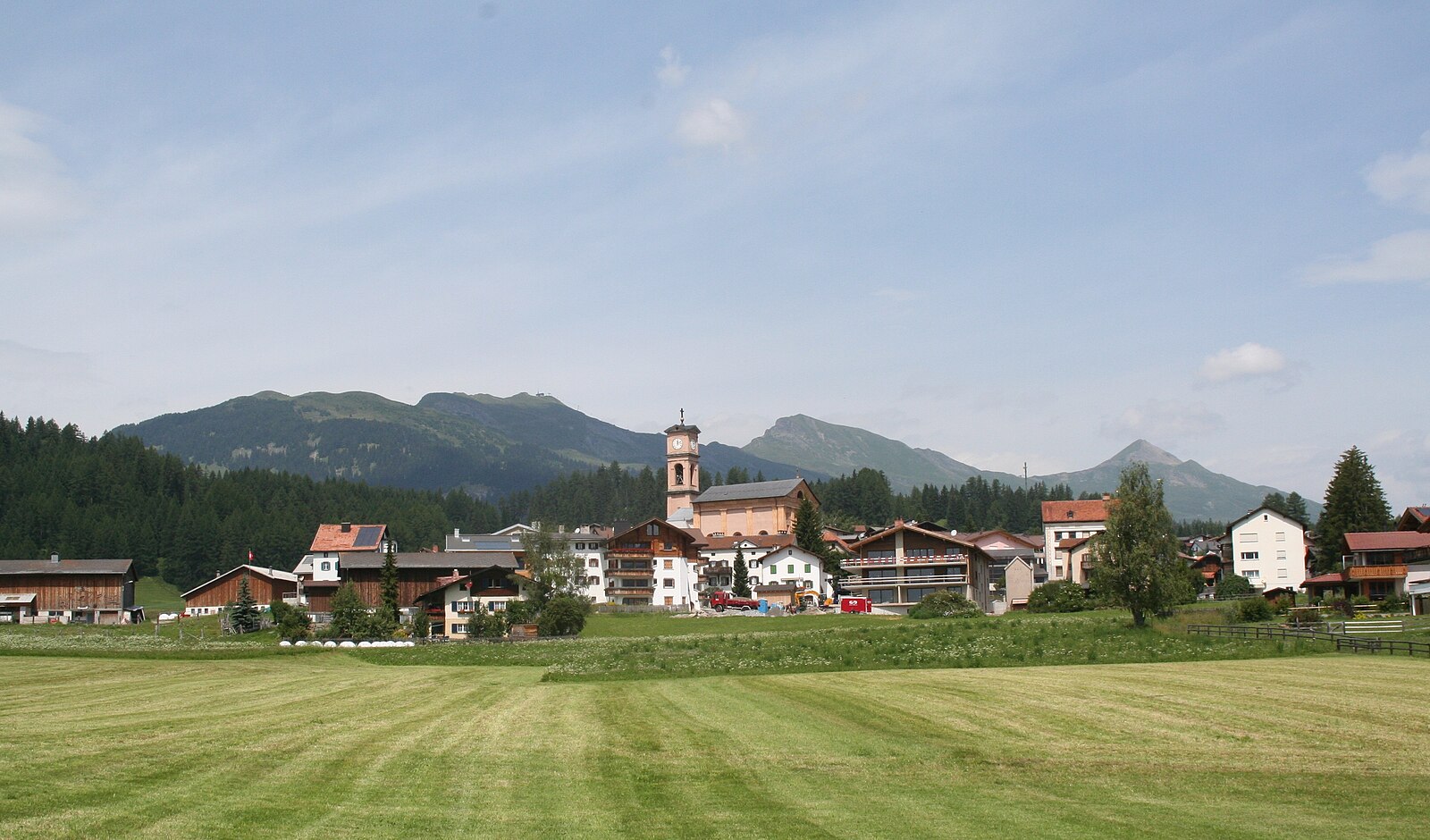
Lantsch/Lenz
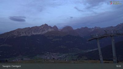
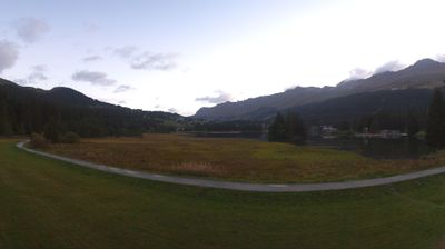
Webcam en directo
Remontes abiertos: 0%
Parte de nieve
- Últimas 24h: 0 cm
- Últimas 72h: 0 cm
- Últimos 7 días: 0 cm
- Últimos 7 días: Valle 0cm · Media montaña 0cm · Cumbre 0cm
- Acumulado de temporada: 6.9 cm
Estaciones de esquí abiertas ahora · Parte de nieve
About Lantsch/Lenz
A tranquil Romansh enclave serving as a sun-drenched gateway to the sporting trails of the Lenzerheide plateau.
Highlights
- Romansh cultural heritage
- World-class biathlon facilities
- Sun-soaked terrace views
- Cross-country skiing hub
Key Facts
- Altitude: 1339m
- Top lift: 1382m
- Ski pistes: 1km
- Ski lifts: 1
- Population: 518
- Lakes nearby: 16
- MTB trails: 198.2km
- Mountain huts: 7
Ski Area
Weather and 10-day forecast for Lantsch/Lenz
- Today: 8 to 17 °C, partly cloudy, 5 h of sunshine
- Freezing level today: about 3503 m (3110 to 3870 m)
| Day | Min / max | Sky | Precipitation | Sunshine |
|---|---|---|---|---|
| jue, 24 sept | 8 / 17 °C | partly cloudy | dry | 5 h sun |
| vie, 25 sept | 5 / 17 °C | clear sky | dry | 10 h sun |
| sáb, 26 sept | 8 / 20 °C | clear sky | dry | 12 h sun |
| dom, 27 sept | 10 / 22 °C | clear sky | dry | 12 h sun |
| lun, 28 sept | 10 / 23 °C | clear sky | dry | 12 h sun |
| mar, 29 sept | 11 / 24 °C | clear sky | dry | 12 h sun |
| mié, 30 sept | 10 / 24 °C | clear sky | dry | 9 h sun |
| jue, 1 oct | 9 / 23 °C | clear sky | dry | 12 h sun |
| vie, 2 oct | 9 / 16 °C | drizzle | dry | 3 h sun |
| sáb, 3 oct | 8 / 17 °C | partly cloudy | dry | 3 h sun |
Things to do in Lantsch/Lenz
Hikes nearby — Lantsch/Lenz (20)
20+ curated hiking trails around Lantsch/Lenz, sourced from OpenStreetMap and enriched with distance, elevation gain and difficulty.
-
Mittelbünden-Panoramaweg Stage 1
From Lenzerheide, the route climbs to the Parpaner Rothorn — where iron ore was once mined — then descends through a moonscape terrain, arolla pine forests, and past small idyllic lakes. The trail also passes through the Parc Ela, considered an insect oasis.
-
ViaSett
-
ViaSett
The trail climbs through the Lenzerheide region past Riom Castle — seat of the «Origen» Roman music theatre — before descending into Savognin, with the Albula and Gelgia rivers marking the historic starting point at Tiefencastel, a village long positioned at the crossroads of routes to the Julier, Septimer, and Albula passes.
-
Veia Surmirana
Die Veia Surmirana ist ein signalisierter Wanderweg im Kanton Graubünden, der auf dem Julierpass beginnt, durch das gesamte Surses führt und bei Thusis im Domleschg endet.
-
Veia Dartschapetta
-
Munter Del Mon Trail
-
ViaSett
-
Via Sett Etappe 1 Thusis–Tiefencastel
-
Tiefencastel-Alvaschein
-
Alvaschein-Muldain
-
Mon - Tiefencastel
-
Walserweg - Etappe 6
-
Walserweg - Etappe 7
-
Walserweg - Etappe 12
-
Alter Schyn
-
ViaSett: Lenzerheide - Tiefencastel Bahnhof
-
Hängebrückenweg Val Meltger
-
Senda Crap la Tretscha
-
Via Albula/Bernina: Thusis Bahnhof - Tiefencastel Bahnhof
-
Via Albula/Bernina: Tiefencastel Bahnhof - Filisur Bahnhof
Mountain biking near Lantsch/Lenz
- Albulatour
- Veia Curtgign
Getting to Lantsch/Lenz
Door-to-door travel times as used by the MR. ALPS ranking.
- Nearest airport: Bodensee Airport Friedrichshafen (FDH), 110 km away, about 1h55 by road
- Zürich: 1h51 by car, 144 km
- Luzern: 2h10 by car, 167 km
- Basel: 2h48 by car, 227 km
- Milano: 2h50 by car, 211 km
- Innsbruck: 3h12 by car, 216 km
- Biel/Bienne: 3h14 by car, 265 km
Where to stay in Lantsch/Lenz
195 places to stay for a night on 2026-09-25, from 146 EUR per night, median 418 EUR. Prices are direct with hotels and destinations, compared live on the Lantsch/Lenz page.