Hoch-Ybrig Weglosen
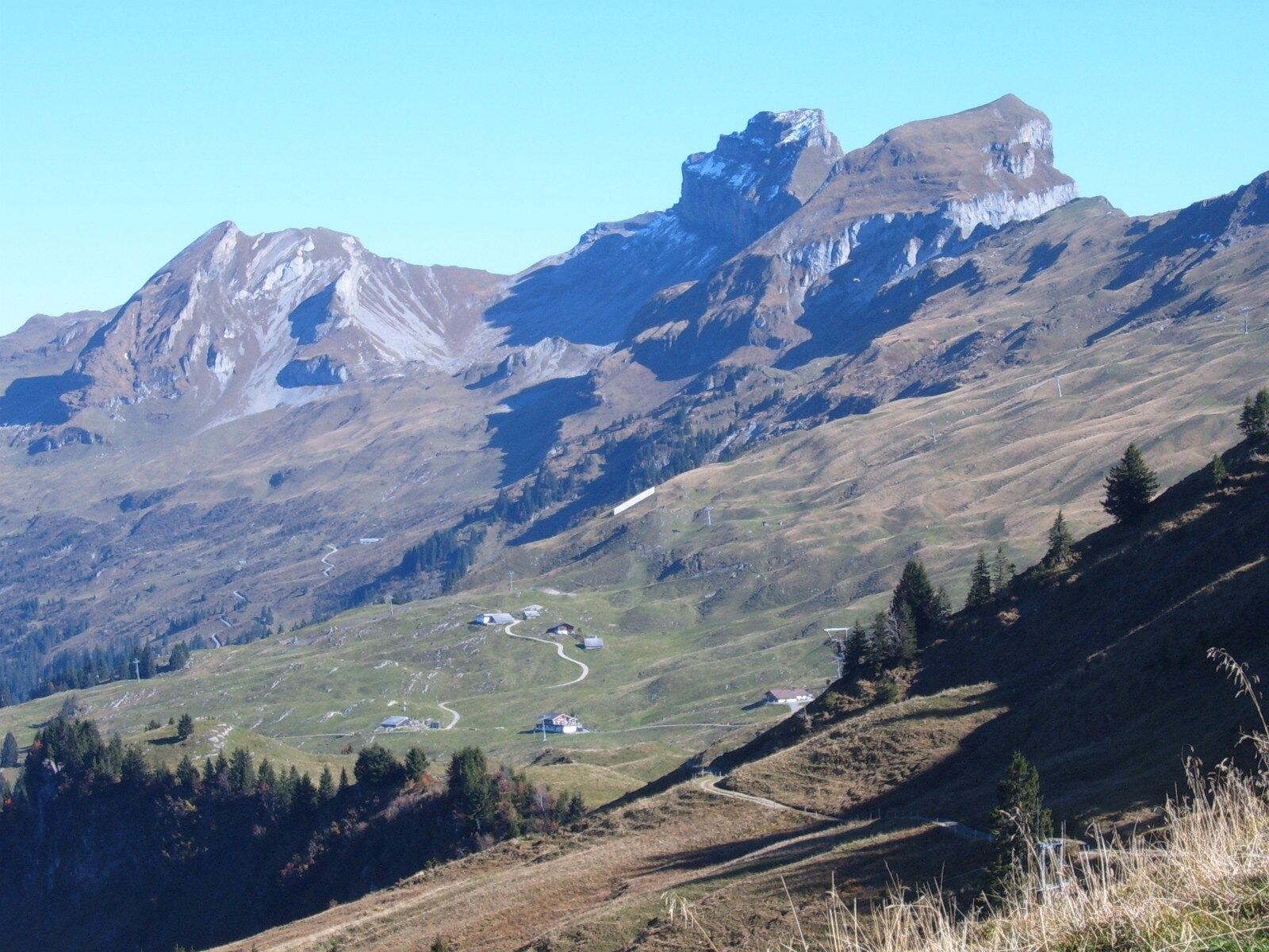
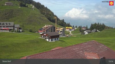
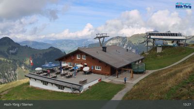
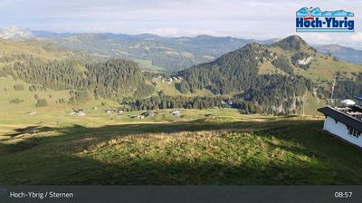
Webcam en directo
Remontes abiertos: 0/12
Parte de nieve
- Últimas 24h: 0 cm
- Últimas 72h: 0 cm
- Últimos 7 días: 0 cm
- Últimos 7 días: Valle 0cm · Media montaña 0cm · Cumbre 0cm
- Acumulado de temporada: 0 cm
Estaciones de esquí abiertas ahora · Parte de nieve
About Hoch-Ybrig Weglosen
A pragmatic local favorite near Zurich, known for its unpretentious day-trip vibe and reliable gateway to high-altitude fun.
Highlights
- Zurich day-trip access
- Family-friendly slopes
- Unpretentious local vibe
- Efficient cableway link
Key Facts
- Altitude: 1036m
- Top lift: 1831m
- Ski pistes: 50km
- Ski lifts: 12
- Population: 3,292
- Lakes nearby: 12
- MTB trails: 356.3km
- Mountain huts: 18
Ski Area
Weather and 10-day forecast for Hoch-Ybrig Weglosen
- Today: 8 to 14 °C, overcast, 2 h of sunshine
- Freezing level today: about 3551 m (3120 to 3900 m)
| Day | Min / max | Sky | Precipitation | Sunshine |
|---|---|---|---|---|
| jue, 24 sept | 8 / 14 °C | overcast | dry | 2 h sun |
| vie, 25 sept | 8 / 16 °C | clear sky | dry | 9 h sun |
| sáb, 26 sept | 12 / 19 °C | clear sky | dry | 12 h sun |
| dom, 27 sept | 11 / 21 °C | clear sky | dry | 12 h sun |
| lun, 28 sept | 12 / 21 °C | clear sky | dry | 12 h sun |
| mar, 29 sept | 12 / 21 °C | clear sky | dry | 12 h sun |
| mié, 30 sept | 12 / 19 °C | clear sky | dry | 12 h sun |
| jue, 1 oct | 10 / 18 °C | partly cloudy | dry | 6 h sun |
| vie, 2 oct | 9 / 13 °C | drizzle | dry | 1 h sun |
| sáb, 3 oct | 5 / 14 °C | drizzle | dry | 1 h sun |
Things to do in Hoch-Ybrig Weglosen
Hikes nearby — Hoch-Ybrig Weglosen (20)
20+ curated hiking trails around Hoch-Ybrig Weglosen, sourced from OpenStreetMap and enriched with distance, elevation gain and difficulty.
-
ViaSuworow
-
ViaSuworow
-
Geologischer Wanderweg Roggenstock
On this trail above Unteriberg, you walk across rocks that once belonged to three different worlds — European bedrock underfoot, remnants of a vanished ocean in between, and African dolomite forming the bright, striking summit of the Roggenstock overhead. Along the way, a post-glacial fen marks where ancient meltwater pools slowly silted up into living wetland.
-
Schwyzer Höhenweg - Etappe 5
The route circles behind the Mythen massif, where a backward glance reveals the Lauerzersee and the Grosser Mythen — which, seen from the Furggelenstock, bears a striking resemblance to the Matterhorn. The trail ends in Einsiedeln, a town defined by its towering monastery church and well-preserved historic centre.
-
Pragelpass-Weg
-
Ybriger 7-Egg-Weg
The trail links seven summits whose names all end in "-egg," cresting at Mount Spirstock where the panorama sweeps from Lake Zurich to the Uri Alps and down into the Muotathal valley. Underfoot, the route runs mostly on wide rock and gravel paths rather than narrow mountain tracks.
-
Druesberglücke - Klein Sternen
-
Druesberghütte - Druesberglücke
-
Oberiberg Furggelen
The route passes through the Ibergeregg moorland — named Landscape of the Year 2019 — and its boreal moor forests, before reaching the Furggelen alpine farm. An old mule track once used to connect Oberiberg to Schwyz forms part of the way, threading through terrain that straddles the pass between Einsiedeln and Schwyz.
-
Furggelen - Zwäcken
La ruta atraviesa el galardonado paisaje de turberas de Ibergeregg y sus bosques boreales de humedales antes de ascender a la granja alpina de Furggelen. Desde la altura del paso de Ibergeregg, el sendero se bifurca hacia la cabaña alpina de Zwäcken, que ofrece amplias vistas al valle y al paisaje montañoso circundante.
-
Brunni - Muesliegg
-
Liplisbüel - Muotathal Hinterthal
-
Schwyzer Höhenweg - Etappe 4
-
Morschach - Stoss
-
Stoos - Fronalpstock
-
Pragelpass-Weg: Schachen Nord - Plätz Klöntal
-
ViaSuworow: westlich Hinterthal - Plätz Klöntal
-
Urwaldweg Bödmeren
-
Schwyzer Höhenweg: Holzegg - Einsiedeln Bahnhof[+Pikto]
-
ViaJacobi: Einsiedeln Bahnhof[+Pikto] - Schwyz Hauptplatz
Mountain biking near Hoch-Ybrig Weglosen
- Iron Bike Rennstrecke lang
- Chinzig Bike
- Fronalp Tour
- Bahnentour Mytehnregion Hoch-Ybrig
- Stoos Tour
- Grosser Runs-Strasse
- Hoch-Ybrig Bike
- Brentenstrasse
Getting to Hoch-Ybrig Weglosen
Door-to-door travel times as used by the MR. ALPS ranking.
- Nearest airport: Zürich Airport (ZRH), 53 km away, about 1h18 by road
- Zürich: 54 min by car, 56 km
- Luzern: 1h03 by car, 70 km
- Basel: 1h52 by car, 138 km
- Biel/Bienne: 2h12 by car, 171 km
- Bern: 2h13 by car, 172 km
- Lausanne: 3h21 by car, 275 km
Where to stay in Hoch-Ybrig Weglosen
18 places to stay for a night on 2026-09-25, from 208 EUR per night, median 265 EUR. Prices are direct with hotels and destinations, compared live on the Hoch-Ybrig Weglosen page.