Gamplüt
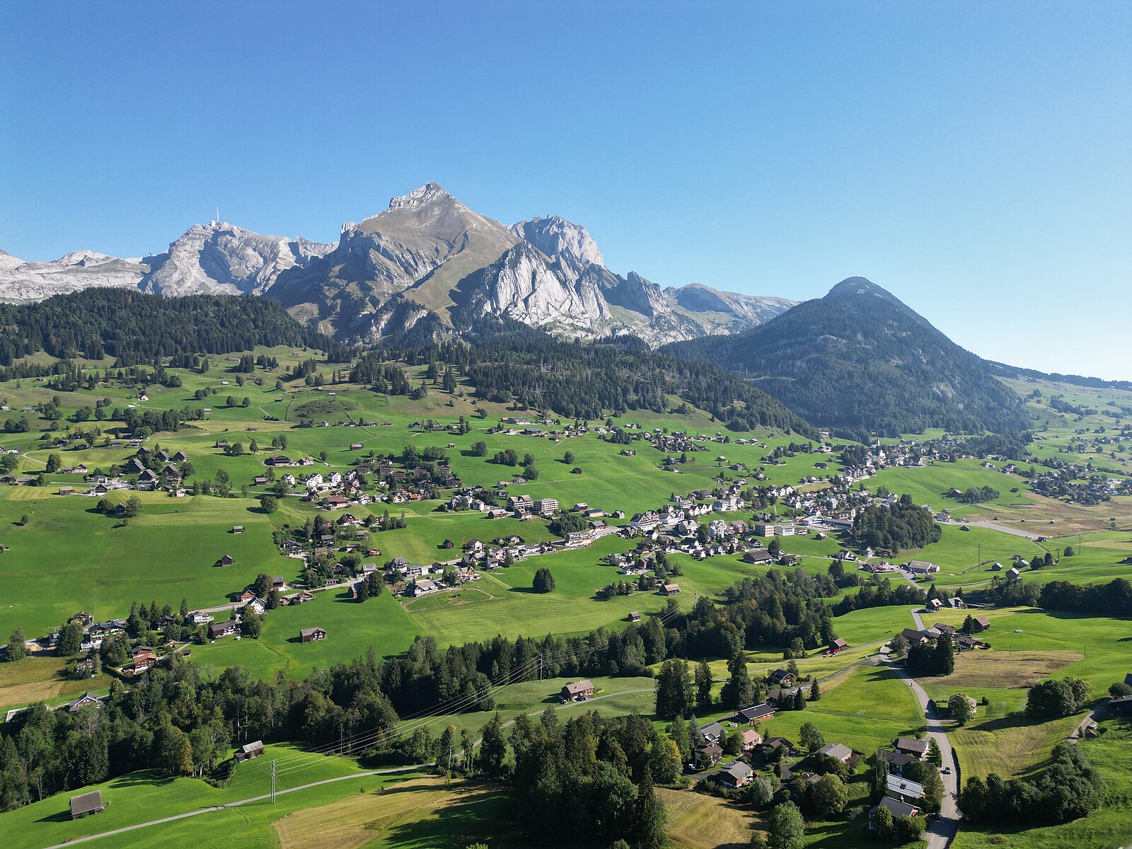
About Gamplüt
A nostalgic, solar-powered retreat in the Toggenburg valley where vintage wooden gondolas and quiet winter silence replace the modern rush.
Highlights
- Solar-powered lifts
- Vintage wooden gondolas
- Car-free tranquility
- Year-round hiking
Key Facts
- Altitude: 1354m
- Top lift: 1357m
- Ski pistes: 2km
- Ski lifts: 2
- Lakes nearby: 12
- MTB trails: 295.4km
- Mountain huts: 30
Ski Area
Weather and 10-day forecast for Gamplüt
- Today: 7 to 16 °C, clear sky, 11 h of sunshine
- Freezing level today: about 3935 m (3330 to 4180 m)
| Day | Min / max | Sky | Precipitation | Sunshine |
|---|---|---|---|---|
| vie, 25 sept | 7 / 16 °C | clear sky | dry | 11 h sun |
| sáb, 26 sept | 11 / 19 °C | clear sky | dry | 12 h sun |
| dom, 27 sept | 12 / 22 °C | clear sky | dry | 12 h sun |
| lun, 28 sept | 14 / 22 °C | partly cloudy | dry | 7 h sun |
| mar, 29 sept | 14 / 21 °C | partly cloudy | dry | 7 h sun |
| mié, 30 sept | 12 / 20 °C | partly cloudy | dry | 3 h sun |
| jue, 1 oct | 12 / 21 °C | rain showers | dry | 11 h sun |
| vie, 2 oct | 9 / 16 °C | rain | dry | 0 h sun |
| sáb, 3 oct | 9 / 14 °C | drizzle | dry | 0 h sun |
| dom, 4 oct | 9 / 15 °C | drizzle | dry | 1 h sun |
Things to do in Gamplüt
Hikes nearby — Gamplüt (20)
20+ curated hiking trails around Gamplüt, sourced from OpenStreetMap and enriched with distance, elevation gain and difficulty.
-
Thurweg
From the Gamplüt gondola station, the trail descends through flowering meadows and Toggenburg villages alongside the Säntisthur — a river whose source lies some 1,200 metres higher on Chalbersäntis — before plunging through the forested Chammerlitobel to reach the thundering Thur Falls. The route then passes through ravines and drops past the three Giessen Falls just before Nesslau.
-
Jöchli Atmann
-
Gulmehütte
-
Engiboden rot
-
Langenbüel - Rotsteinpass
-
Säntis - Höchnideri
-
Hädern - Altmannsattel
-
Meglisalp - Wagenlücke
-
Neckertaler Höhenweg
-
Alpenpanorama-Weg
-
Alpenpanorama-Weg
-
Unterwasser-Halden-Egerten-Gräppelensee
-
Tierwies - Langebüel
-
Silberplatten West
-
Klangweg Toggenburg
-
Gamplüt-Säntis-Weg
-
Toggenburger Höhenweg: Wildhaus - Vordere Selunalp
-
Thurweg: Bergstation Gamplüt - Nesslau
-
Rheintaler Höhenweg: Wildhaus - Berghaus Malbun
-
Alpenpanorama-Weg: Schwägalp - Stein
Mountain biking near Gamplüt
- Panorama Bike - Etappe 3
- Oelberg Bike
- Tesel-Gruebe-Zwinglipass
Getting to Gamplüt
Door-to-door travel times as used by the MR. ALPS ranking.
- Nearest airport: Sankt Gallen Altenrhein Airport (ACH), 34 km away, about 55 min by road
- Zürich: 1h40 by car, 100 km
- Luzern: 1h59 by car, 123 km
- Basel: 2h38 by car, 183 km
- Innsbruck: 2h43 by car, 187 km
- München: 2h50 by car, 242 km
- Biel/Bienne: 3h03 by car, 221 km
Where to stay in Gamplüt
103 places to stay for a night on 2026-10-02, from 130 EUR per night, median 271 EUR. Prices are direct with hotels and destinations, compared live on the Gamplüt page.