Antigua Guatemala
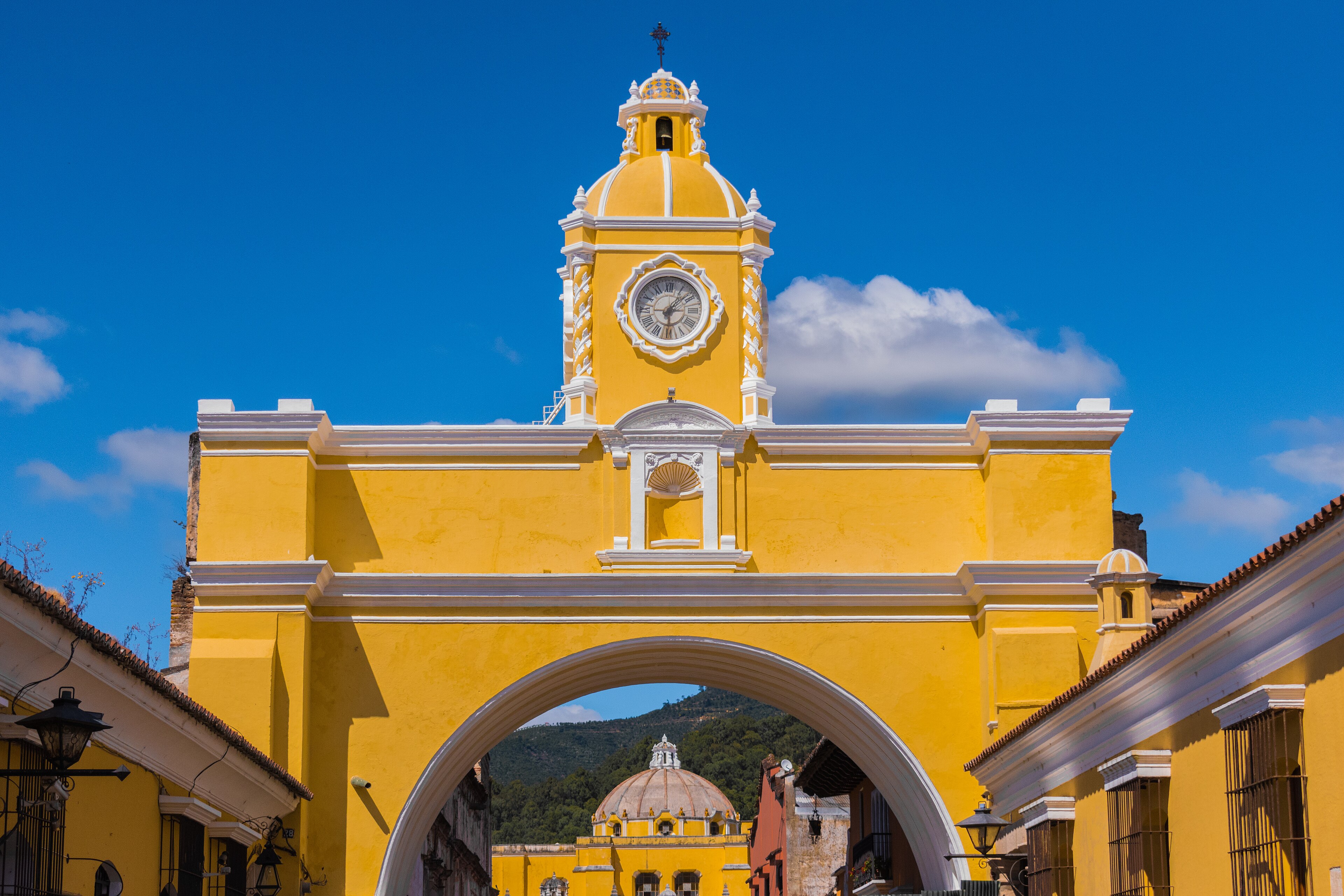
About Antigua Guatemala
Antigua Guatemala sits at an altitude of 1530m in the Sacatepequez region of Guatemala. It provides access to one marked hiking trail, with golf available nearby.
Key Facts
- Altitude: 1530m
- Mountain huts: 3
Weather and 10-day forecast for Antigua Guatemala
- Today: 14 to 26 °C, partly cloudy, 6 h of sunshine
- Freezing level today: about 4990 m (4890 to 5110 m)
| Day | Min / max | Sky | Precipitation | Sunshine |
|---|---|---|---|---|
| Tue, Nov 17 | 14 / 26 °C | partly cloudy | dry | 6 h sun |
| Wed, Nov 18 | 16 / 24 °C | drizzle | dry | 5 h sun |
| Thu, Nov 19 | 14 / 25 °C | drizzle | dry | 9 h sun |
| Fri, Nov 20 | 14 / 26 °C | drizzle | dry | 6 h sun |
| Sat, Nov 21 | 14 / 26 °C | drizzle | dry | 4 h sun |
| Sun, Nov 22 | 15 / 27 °C | drizzle | dry | 7 h sun |
| Mon, Nov 23 | 14 / 27 °C | clear sky | dry | 11 h sun |
| Tue, Nov 24 | 15 / 24 °C | drizzle | dry | 11 h sun |
| Wed, Nov 25 | 15 / 25 °C | drizzle | dry | 11 h sun |
| Thu, Nov 26 | 15 / 24 °C | drizzle | dry | 1 h sun |
Things to do in Antigua Guatemala
Hikes nearby - Antigua Guatemala (1)
1 curated hiking trails around Antigua Guatemala, sourced from OpenStreetMap and enriched with distance, elevation gain and difficulty.
-
Ascenso volcán de agua
Ruta de ascenso al volcán de agua por el "extravío"
Getting to Antigua Guatemala
Door-to-door travel times as used by the MR. ALPS ranking.
- Nearest airport: La Aurora International Airport (GUA), 22 km away, about 42 min by road