Sky Tavern
North American Cordillera › Sierra Nevada › Carson Range
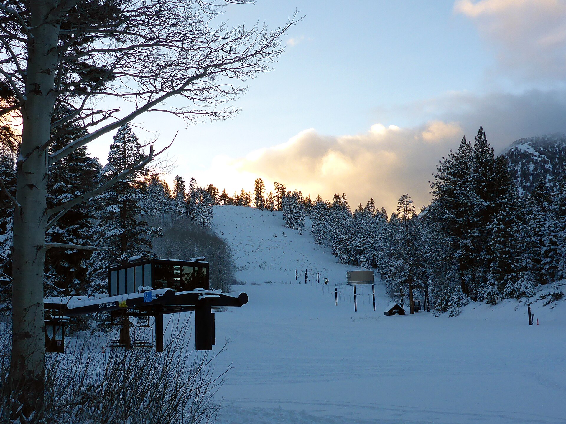
About Sky Tavern
A community-driven Sierra Nevada landmark where Reno’s youth learn to navigate the slopes in a nostalgic, volunteer-led atmosphere.
Highlights
- Volunteer-led heritage
- Pioneer ski culture
- Youth racing legacy
- Accessible Sierra terrain
Key Facts
- Altitude: 2307m
- Top lift: 2511m
- Ski pistes: 8.4km
- Ski lifts: 4
- Lakes nearby: 6
- MTB trails: 109.9km
- Mountain huts: 1
Ski Area
Weather and 9-day forecast for Sky Tavern
- Today: -7 to -3 °C, overcast, 4 h of sunshine
- Freezing level today: about 1597 m (1280 to 1930 m)
- Snowfall in the last 7 days: 12 cm
| Day | Min / max | Sky | Precipitation | Sunshine |
|---|---|---|---|---|
| Tue, Nov 17 | -7 / -3 °C | overcast | dry | 4 h sun |
| Wed, Nov 18 | -5 / -1 °C | snow | dry | 1 h sun |
| Thu, Nov 19 | -5 / -3 °C | snow showers | dry | 7 h sun |
| Fri, Nov 20 | -13 / -4 °C | partly cloudy | dry | 4 h sun |
| Sat, Nov 21 | -14 / -2 °C | overcast | dry | 1 h sun |
| Sun, Nov 22 | -6 / -3 °C | snow showers | dry | 6 h sun |
| Mon, Nov 23 | -11 / -2 °C | snow showers | dry | 0 h sun |
| Tue, Nov 24 | -9 / -3 °C | snow showers | dry | 0 h sun |
| Wed, Nov 25 | -6 / -1 °C | snow showers | dry | 0 h sun |
Things to do in Sky Tavern
Hikes nearby - Sky Tavern (1)
1 curated hiking trails around Sky Tavern, sourced from OpenStreetMap and enriched with distance, elevation gain and difficulty.
-
Tahoe Rim Trail
The Tahoe Rim Trail (TRT) is a 170-mile (274 km) long-distance hiking trail that forms a loop around the Lake Tahoe Basin in the Sierra Nevada and ranges of Nevada and California in the United States. The trail ranges in elevation from 6,223 feet at the outlet of Lake Tahoe to 10,338 feet at Relay Peak in Nevada. About 50 miles (80 km) of trail above the lake's west shore are also part of the nati
Mountain biking near Sky Tavern
- Tamarack Lake Trail
- Brown's Creek Trail
- Upper Whites Creek Trail
- Jones/Whites Creek Loop
- High Fives Trail
- Tahoe Rim Trail
Getting to Sky Tavern
Door-to-door travel times as used by the MR. ALPS ranking.
- Nearest airport: Reno Tahoe International Airport (RNO), 20 km away, about 32 min by road