Hohe Winde
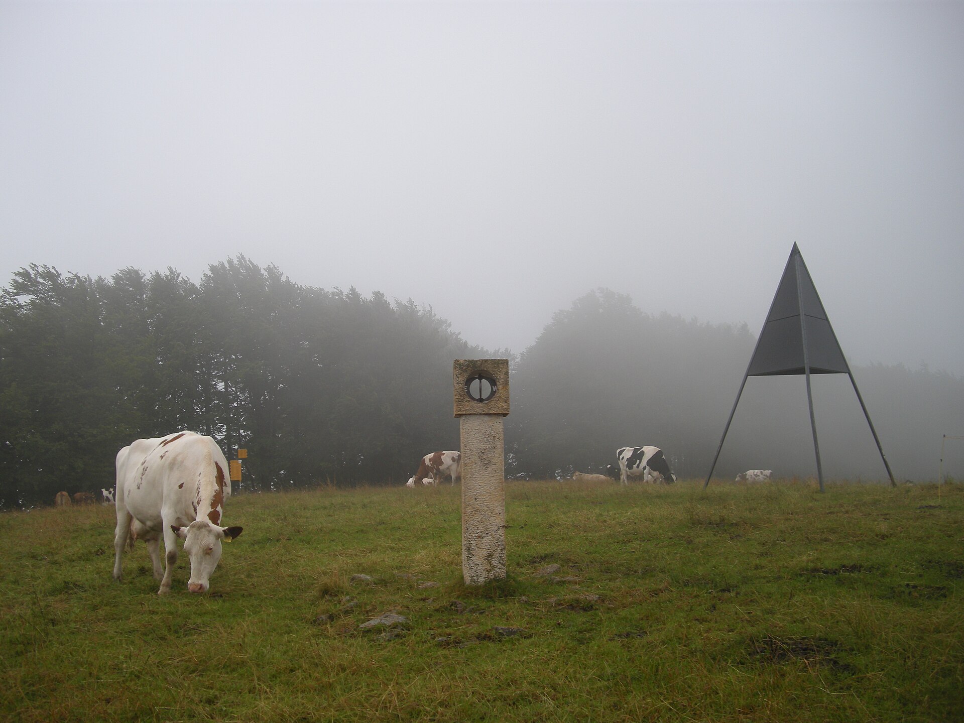
About Hohe Winde
A secluded Jura peak offering panoramic views of the Alps and Black Forest, beloved by locals for quiet hiking and raw nature.
Highlights
- Panoramic ridge trails
- Rustic mountain inns
- Solothurn Jura wilderness
- Unspoiled sunrise vistas
Key Facts
- Altitude: 765m
- Top lift: 1062m
- Ski pistes: 5.9km
- Ski lifts: 1
- Lakes nearby: 1
- MTB trails: 57.9km
- Mountain huts: 4
Ski Area
Included in these season passes
Weather and 10-day forecast for Hohe Winde
- Today: 6 to 19 °C, clear sky, 12 h of sunshine
- Freezing level today: about 3965 m (3830 to 4140 m)
| Day | Min / max | Sky | Precipitation | Sunshine |
|---|---|---|---|---|
| Wed, Sep 23 | 6 / 19 °C | clear sky | dry | 12 h sun |
| Thu, Sep 24 | 13 / 19 °C | overcast | dry | 2 h sun |
| Fri, Sep 25 | 7 / 21 °C | clear sky | dry | 12 h sun |
| Sat, Sep 26 | 11 / 25 °C | clear sky | dry | 12 h sun |
| Sun, Sep 27 | 13 / 26 °C | clear sky | dry | 12 h sun |
| Mon, Sep 28 | 12 / 26 °C | clear sky | dry | 12 h sun |
| Tue, Sep 29 | 12 / 25 °C | clear sky | dry | 12 h sun |
| Wed, Sep 30 | 11 / 23 °C | partly cloudy | dry | 8 h sun |
| Thu, Oct 1 | 12 / 22 °C | drizzle | dry | 1 h sun |
| Fri, Oct 2 | 12 / 23 °C | drizzle | dry | 2 h sun |
Things to do in Hohe Winde
Hikes nearby — Hohe Winde (20)
20+ curated hiking trails around Hohe Winde, sourced from OpenStreetMap and enriched with distance, elevation gain and difficulty.
-
Weissenstein – Passwang Weg
-
La Grande Schönenberg - Merveilier
-
La Grande Schönenberg - Envelier
-
Vermes - Merveilier
-
Vermes - fixme
-
Envelier - fixme
-
Chemin de Compostelle, Basel -Laufen
Als Jakobsweg wird eine Anzahl von Pilgerwegen durch Europa bezeichnet, die alle das angebliche Grab des Apostels Jakobus in Santiago de Compostela in Galicien (Spanien) zum Ziel haben. In erster Linie wird darunter der Camino Francés verstanden, jene hochmittelalterliche Hauptverkehrsachse Nordspaniens, die von den Pyrenäen zum Jakobsgrab führt und die Königsstädte Jaca, Pamplona, Estella, Burgos
-
Jura-Höhenweg
-
ViaSurprise - Etappe 3
-
ViaSurprise - Etappe 4
-
ViaSurprise - Etappe 2
-
2. Solothurner Waldwanderung
-
Vorder Erzberg - Zingelen
-
Bogental - Neuhüsli
markierter Wanderweg
-
Schemelhof - Erschwil Dorf
-
ViaSurprise: Wasserfallen - Kloster Beinwil
-
Weissenstein-Passwang-Weg: Welschenrohr - 16781
-
Chemin du Val Terbi
-
Wolfsschlucht-Weg
-
ViaSurprise: Kloster Beinwil - VZ Zwingen Bhf.
Mountain biking near Hohe Winde
- Jura Bike
- Cici Way
- La Tchaitelat
Getting to Hohe Winde
Door-to-door travel times as used by the MR. ALPS ranking.
- Nearest airport: EuroAirport Basel–Mulhouse–Freiburg (BSL), 29 km away, about 56 min by road
- Basel: 45 min by car, 37 km
- Biel/Bienne: 1h05 by car, 69 km
- Bern: 1h06 by car, 71 km
- Luzern: 1h12 by car, 85 km
- Zürich: 1h24 by car, 97 km
- Lausanne: 2h14 by car, 173 km
Where to stay in Hohe Winde
16 places to stay for a night on 2026-09-25, from 197 EUR per night, median 259 EUR. Prices are direct with hotels and destinations, compared live on the Hohe Winde page.