Gheorgheni
Carpathian Mountains › Bistrița Mountains
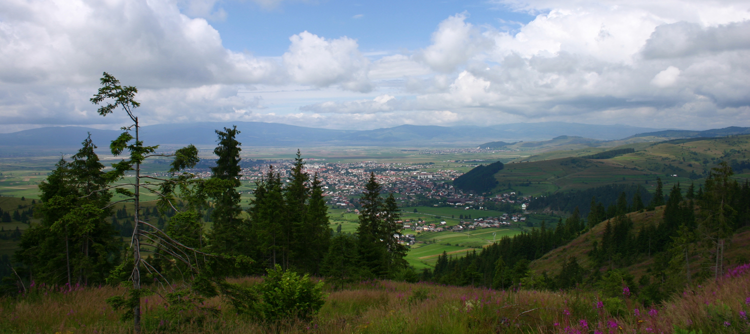
About Gheorgheni
A gateway to the rugged Eastern Carpathians, defined by its Szekler heritage and proximity to the dramatic Bicaz Gorge.
Highlights
- Transylvanian heritage
- Limestone gorge trails
- Szekler cuisine
- Pine-covered peaks
Key Facts
- Altitude: 1258m
- Top lift: 1296m
- Ski pistes: 0.4km
- Ski lifts: 1
- Lakes nearby: 2
- MTB trails: 9.3km
- Mountain huts: 2
Ski Area
Weather and 9-day forecast for Gheorgheni
- Today: 1 to 5 °C, partly cloudy, 5 h of sunshine
- Freezing level today: about 1833 m
| Day | Min / max | Sky | Precipitation | Sunshine |
|---|---|---|---|---|
| Tue, Nov 17 | 1 / 5 °C | partly cloudy | dry | 5 h sun |
| Wed, Nov 18 | 4 / 7 °C | overcast | dry | 1 h sun |
| Thu, Nov 19 | 2 / 6 °C | partly cloudy | dry | 4 h sun |
| Fri, Nov 20 | 2 / 6 °C | rain | dry | 1 h sun |
| Sat, Nov 21 | -3 / 4 °C | rain showers | dry | 1 h sun |
| Sun, Nov 22 | -6 / -3 °C | partly cloudy | dry | 3 h sun |
| Mon, Nov 23 | -8 / 0 °C | overcast | dry | 1 h sun |
| Tue, Nov 24 | -9 / -2 °C | clear sky | dry | 9 h sun |
| Wed, Nov 25 | -8 / 1 °C | overcast | dry | 1 h sun |
Things to do in Gheorgheni
Hikes nearby - Gheorgheni (16)
16 curated hiking trails around Gheorgheni, sourced from OpenStreetMap and enriched with distance, elevation gain and difficulty.
-
oraș Gheorgheni - Pasul Pângărați - Gura Pârâului Caproș
-
Lacul Roșu - Avenul Licaș
-
Lacu Roșu - Păstrăvărie - Lacu Roșu
-
oraș Gheorgheni - Vf. Fagul Înalt - Pasul Covacipeter
-
Lacul Roșu – Valea Oii – sub Poiana Albă (blue stripe)
-
Valea Cupaș - Șaua Niergheș
-
sat Izvoru Mureșului - Vf. Șipoș - Poiana Mediașul de Sus
sat Izvoru Mureșului (Complexul Național de Sport) - Vf. Arama Neagră - Poiana Locfei - Vf. Șipoș - Pasul Covacipeter - Poiana Mediașul de Sus
-
oraș Gheorgheni - Valea Fierul - La Tunzărie
-
Lacu Roșu – Culmea lui Paleu – sub Poiana Albă (blue dot)
-
Cheile Bicazului - Poiana La Vincli
-
Lacu Roșu – Belvedere Piatra Ghilcoș (red triangle)
-
Lacu Roșu – Șaua Țifrea – Cheile Bicazului (yellow triangle)
-
Rez-nyaka - Șaua Tătar - Vf. Prișca
-
Cheile Bicazului - Șaua Cupaș
-
sat Lăzarea - sub Vf. Prișca - oraș Gheorgheni
-
Bălan - Deversarea pârâului Mediaș
Mountain biking near Gheorgheni
- Drum Forestier Bălan
- Drum Forestier Km 4 - Bălan
Getting to Gheorgheni
Door-to-door travel times as used by the MR. ALPS ranking.
- Nearest airport: Bacău George Enescu International Airport (BCM), 95 km away, about 3h06 by road
Where to stay in Gheorgheni
28 places to stay for a night on 2026-11-20, from 43 EUR per night, median 80 EUR. Prices are direct with hotels and destinations, compared live on the Gheorgheni page.