Alpirsbach
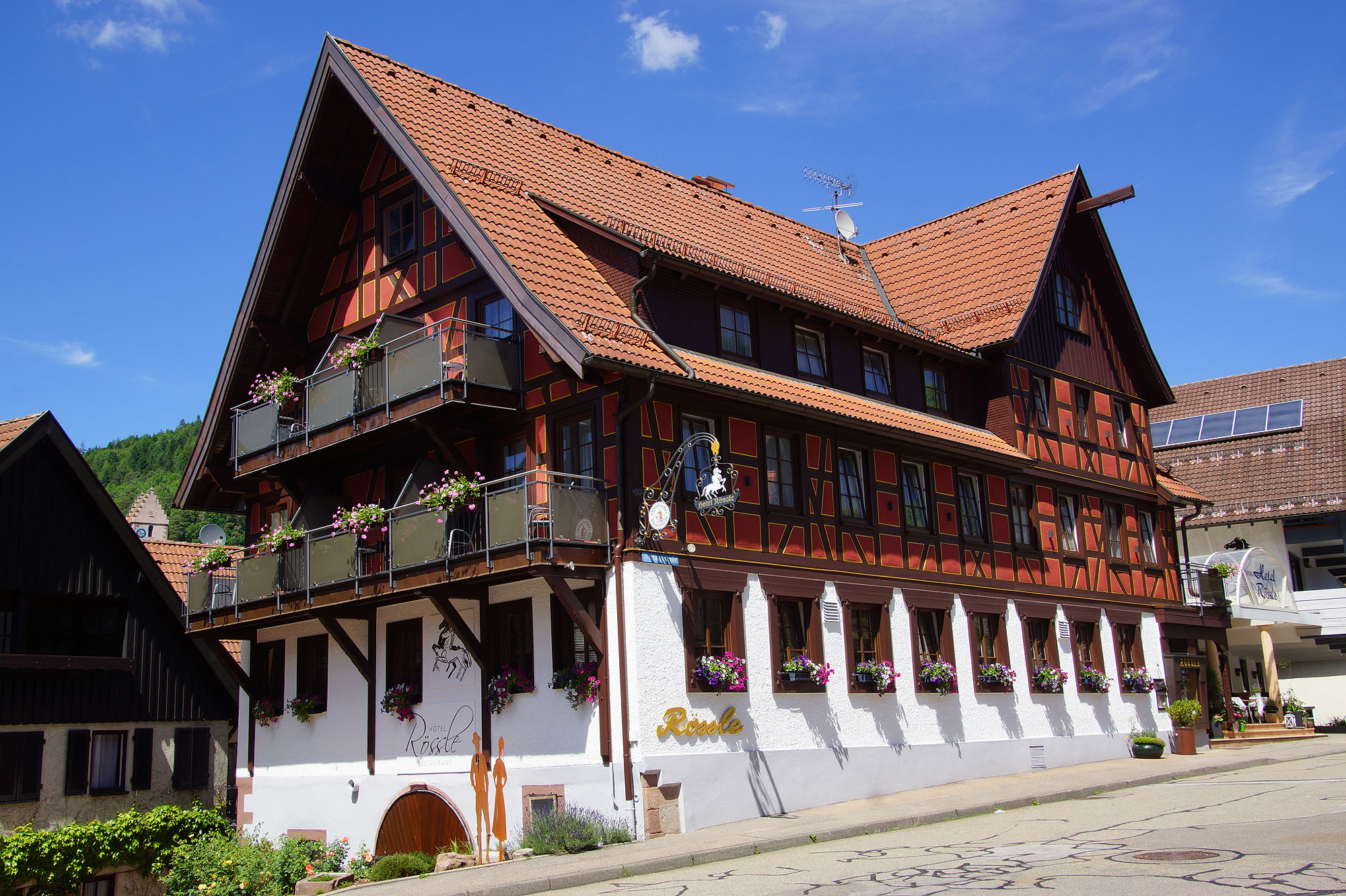
About Alpirsbach
A historic Black Forest sanctuary defined by its thousand-year-old Benedictine abbey and a storied heritage of monastic brewing.
Highlights
- Monastic brewing tradition
- Romanesque sandstone abbey
- Dense timbered architecture
- Black Forest trails
Key Facts
- Altitude: 475m
- Top lift: 566m
- Ski pistes: 0.5km
- Ski lifts: 1
- Lakes nearby: 4
- MTB trails: 173.2km
- Mountain huts: 3
Ski Area
Weather and 10-day forecast for Alpirsbach
- Today: 8 to 12 °C, rain showers, 1 h of sunshine
- Freezing level today: about 1816 m (1660 to 2160 m)
| Day | Min / max | Sky | Precipitation | Sunshine |
|---|---|---|---|---|
| Wed, Nov 18 | 8 / 12 °C | rain showers | dry | 1 h sun |
| Thu, Nov 19 | 7 / 10 °C | rain showers | dry | 1 h sun |
| Fri, Nov 20 | 7 / 9 °C | rain showers | dry | 1 h sun |
| Sat, Nov 21 | 1 / 7 °C | rain | dry | 3 h sun |
| Sun, Nov 22 | 1 / 3 °C | rain | dry | 0 h sun |
| Mon, Nov 23 | -2 / 2 °C | overcast | dry | 2 h sun |
| Tue, Nov 24 | -4 / 1 °C | overcast | dry | 2 h sun |
| Wed, Nov 25 | 1 / 7 °C | rain | dry | 0 h sun |
| Thu, Nov 26 | 0 / 6 °C | drizzle | dry | 1 h sun |
| Fri, Nov 27 | 1 / 8 °C | snow showers | dry | 1 h sun |
Things to do in Alpirsbach
Hikes nearby - Alpirsbach (20)
20+ curated hiking trails around Alpirsbach, sourced from OpenStreetMap and enriched with distance, elevation gain and difficulty.
-
Westweg: stage 05 (Alexanderschanze - Hark)
-
Mit dem Holzmichel auf Du und Du: 3. Etappe Bad Rippoldsau - Burgbachfelsen - Freudenstadt
-
Von Loßburg zur Ruine Sterneck
-
Von Loßburg nach Alpirsbach
-
Westweg Etappe 5
-
Jakobsweg Rottenburg - Thann (1)
The Camino de Santiago, or the Way of St. James in English, is a network of pilgrims' ways or pilgrimages leading to the shrine of the apostle James in the cathedral of Santiago de Compostela in Galicia in northwestern Spain, where tradition holds that the remains of the apostle are buried. Pilgrims follow its routes as a form of spiritual path or retreat for their spiritual growth. It is also pop
-
Hansjakobweg I
Schenkenzell - Kloster Wittichen
-
Schapbach - See Ebene
Schapbach (Querweg Gengenbach-Schapbach-Alpirsbach) - See Ebene (Westweg)
-
Bad Rippoldsau - Zwieselberg
Bad Rippoldsau-Klösterle - Steig - Bautschenloch - Zwieselberg (Mittelweg)
-
Vor Seebach - Glaswaldsee
-
Bad Rippoldsau - Grenzweg
-
Grenzweg - Mittelweg
-
Bad Peterstal - Bad Rippoldsau
Bad Peterstal - See Ebene (Westweg) - Glaswaldsee - Bad Rippoldsau
-
Westweg - Holzwald
Hildahütte (Westweg) - Wolfenberg - Bad Rippoldsau-Holzwald/Holzwälder Höhe
-
Renchtalsteig
Bottenau - Mooskopf - Oppenau - Bad Peterstal - Alexanderschanze - Schliffkopf - Allerheiligen - Schauenburg
-
Sommerhangweg Abzw. Auerhahn - Reinerzau Rauher Felsen
-
Elme - Gansberg
-
Hinterkaltbrunn Gütsch - Kaltbrunn Martinshof
-
Judenwaldhütte - Heilenberghütte
-
Eckte - Sattellege
Mountain biking near Alpirsbach
- Grenzweg
Getting to Alpirsbach
Door-to-door travel times as used by the MR. ALPS ranking.
- Nearest airport: Strasbourg Airport (SXB), 58 km away, about 1h26 by road
- Strasbourg: 1h20 by car, 78 km
- Stuttgart: 1h33 by car, 104 km
- Basel: 2h05 by car, 147 km
- Zürich: 2h12 by car, 165 km
- Mannheim: 2h12 by car, 163 km
- Frankfurt am Main: 2h51 by car, 233 km