Ski areál Sachrovka
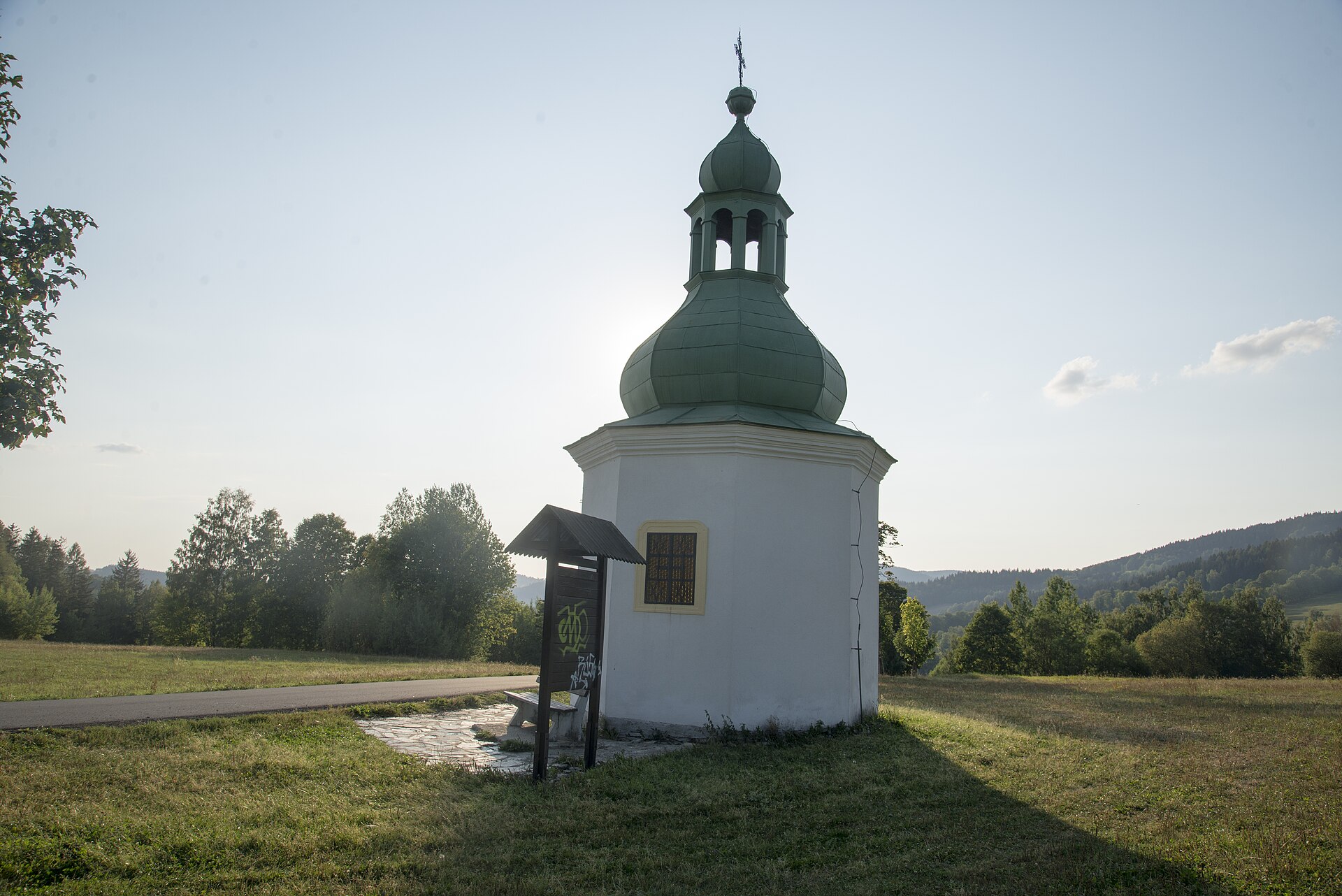
About Ski areál Sachrovka
A family-oriented Krkonoše slope known for its approachable terrain and relaxed atmosphere in the heart of Jilemnice.
Highlights
- Night skiing sessions
- Gentle training slopes
- Local town proximity
- Family-friendly atmosphere
Key Facts
- Altitude: 620m
- Top lift: 876m
- Ski pistes: 1.2km
- Ski lifts: 2
- MTB trails: 188.9km
- Mountain huts: 29
Ski Area
Weather and 10-day forecast for Ski areál Sachrovka
- Today: 7 to 10 °C, overcast, 3 h of sunshine
- Freezing level today: about 2877 m (2240 to 3400 m)
| Day | Min / max | Sky | Precipitation | Sunshine |
|---|---|---|---|---|
| Fri, Sep 25 | 7 / 10 °C | overcast | dry | 3 h sun |
| Sat, Sep 26 | 7 / 14 °C | clear sky | dry | 12 h sun |
| Sun, Sep 27 | 9 / 16 °C | partly cloudy | dry | 4 h sun |
| Mon, Sep 28 | 9 / 16 °C | partly cloudy | dry | 5 h sun |
| Tue, Sep 29 | 10 / 18 °C | clear sky | dry | 11 h sun |
| Wed, Sep 30 | 10 / 18 °C | clear sky | dry | 12 h sun |
| Thu, Oct 1 | 12 / 20 °C | clear sky | dry | 12 h sun |
| Fri, Oct 2 | 12 / 16 °C | overcast | dry | 4 h sun |
| Sat, Oct 3 | 9 / 13 °C | drizzle | dry | 1 h sun |
| Sun, Oct 4 | 8 / 16 °C | drizzle | dry | 2 h sun |
Things to do in Ski areál Sachrovka
Hikes nearby — Ski areál Sachrovka (15)
15 curated hiking trails around Ski areál Sachrovka, sourced from OpenStreetMap and enriched with distance, elevation gain and difficulty.
-
Cesta česko-polského přátelství
The Polish–Czech Friendship Trail is a public walking path in the Giant Mountains. The path runs on both sides of the Czech–Polish border, along the main ridge and crosses or traverses all its summits. The maintenance of the trail is performed by the staff of both adjacent national parks: the Polish Karkonosze National Park and the Czech Krkonoše National Park. The start point is located on Szreni
-
Dřevařská cesta
-
Medvědí okruh
-
Špindlmanova mise
-
Benecká přírodní stezka
-
Szklarska Poręba - Śnieżne Kotły
-
Piechowice - Pod Wielkim Szyszakiem
-
Pod Łabskim Szczytem - Rozdroże pod Wielkim Szyszakiem
-
Podgórzyn Dolny - Czarna Przełęcz
-
Okolo Rokytnice
-
NS Krakonoš a lyžníci
-
Internationaler Bergwanderweg Eisenach–Budapest (Tschechien West) (International friendship trail Eisenach–Budapest (Czech west))
-
European long distance path E3 - part Czech Republic, North East
-
Via Czechia - Severní (6. Jizerské hory)
-
Palackého stezka
Mountain biking near Ski areál Sachrovka
- Po polskich Izerach i czeskich Karkonoszach
- Trasa Doliny Izery
Getting to Ski areál Sachrovka
Door-to-door travel times as used by the MR. ALPS ranking.
- Nearest airport: Pardubice Airport (PED), 81 km away, about 1h48 by road
- Berlin: 4h29 by car, 333 km
- Nürnberg: 4h48 by car, 430 km
- Wien: 5h21 by car, 461 km
- München: 5h43 by car, 519 km
- Stuttgart: 6h42 by car, 620 km
- Frankfurt am Main: 6h49 by car, 654 km
Where to stay in Ski areál Sachrovka
200 places to stay for a night on 2026-10-02, from 57 EUR per night, median 183 EUR. Prices are direct with hotels and destinations, compared live on the Ski areál Sachrovka page.