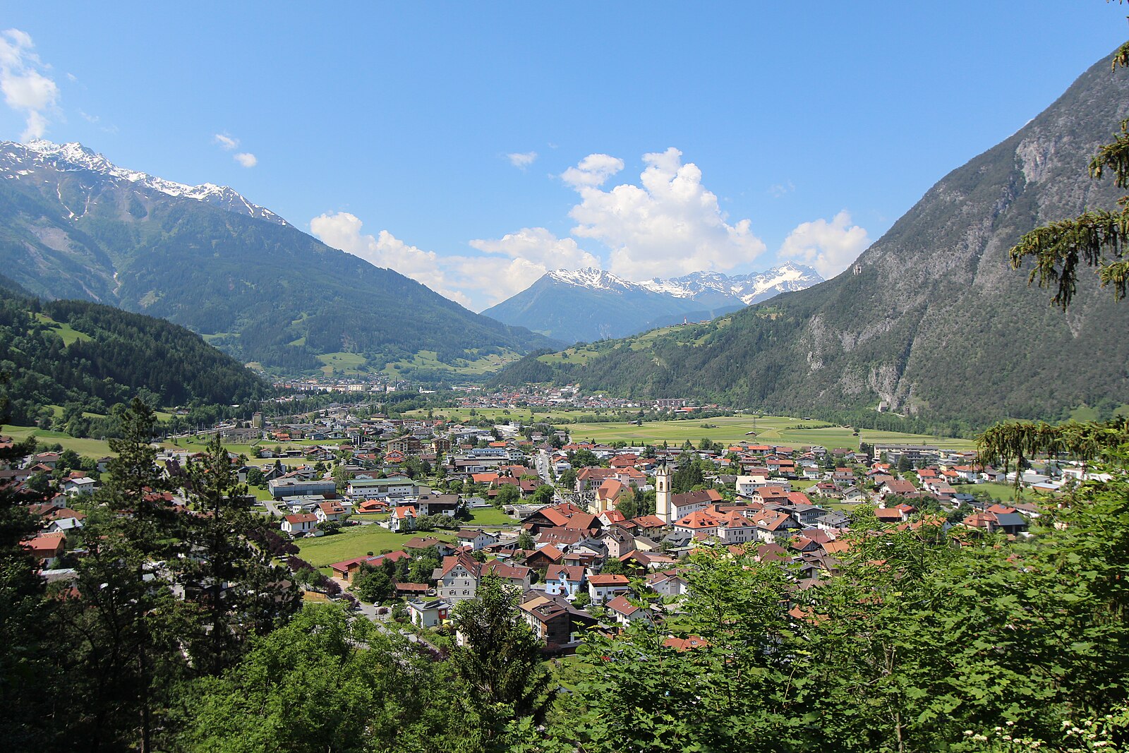
Zams
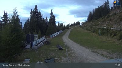
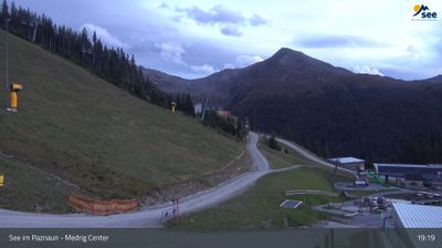
Live webcam


Lifts open: 0/6
Snow report
- Last 24h: 0 cm
- Last 72h: 0 cm
- Last 7 days: 0 cm
- Last 7 days: Valley 0cm · Mid-mountain 0cm · Top 0cm
- Season total: 2.5 cm
Ski resorts open now · Snow report
About Zams
A strategic valley crossroads where rugged Tyrolean tradition meets the steep, uncrowded slopes of the Venet massif.
Highlights
- Steep forest runs
- Traditional inn culture
- Valley floor convenience
- Venet cable car
Key Facts
- Altitude: 780m
- Top lift: 2212m
- Ski pistes: 16km
- Ski lifts: 6
- Population: 7,700
- Lakes nearby: 24
- MTB trails: 346.8km
- Mountain huts: 25
Ski Area
Included in these season passes
Weather and 10-day forecast for Zams
- Today: 3 to 16 °C, clear sky, 12 h of sunshine
- Freezing level today: about 3601 m (3260 to 3780 m)
| Day | Min / max | Sky | Precipitation | Sunshine |
|---|---|---|---|---|
| Wed, Sep 23 | 3 / 16 °C | clear sky | dry | 12 h sun |
| Thu, Sep 24 | 7 / 16 °C | overcast | dry | 2 h sun |
| Fri, Sep 25 | 4 / 15 °C | clear sky | dry | 11 h sun |
| Sat, Sep 26 | 9 / 19 °C | clear sky | dry | 12 h sun |
| Sun, Sep 27 | 9 / 20 °C | clear sky | dry | 12 h sun |
| Mon, Sep 28 | 11 / 22 °C | clear sky | dry | 11 h sun |
| Tue, Sep 29 | 11 / 24 °C | clear sky | dry | 12 h sun |
| Wed, Sep 30 | 11 / 24 °C | clear sky | dry | 11 h sun |
| Thu, Oct 1 | 9 / 18 °C | drizzle | dry | 2 h sun |
| Fri, Oct 2 | 5 / 11 °C | drizzle | dry | 0 h sun |
Things to do in Zams
Hikes nearby — Zams (11)
11 curated hiking trails around Zams, sourced from OpenStreetMap and enriched with distance, elevation gain and difficulty.
-
Wanderweg 631
Madau - Württemberger Haus - Zams
-
Via Alpina Yellow B36
Wenns - Zams am Inn
-
Europäischer Fernwanderweg E5, Österreich Tirol
The E5 threads through the dramatic limestone walls of the Lechtaler Alpen before opening into the softer contours of the Ötztaler Alpen, with the gorge passage through the Zammer Loch counted among the finest high-mountain valleys in Europe. The route crosses three countries — Germany, Austria, and Italy — cresting at the Pitztaler Jöchl at 2,996 m before descending toward the sun-warmed wine slopes of South Tyrol.
-
Ladner Steig
-
Grins Ochsenberg Augsburger Hütte
-
Augsburger Hütte
-
Grins Lärchkapelle
-
Augsburger Höhenweg
Der Augsburger Höhenweg ist ein hochalpiner Steig in den Lechtaler Alpen, Tirol/Vorarlberg, Österreich. Er wurde 1910 von der Sektion Augsburg des Deutschen Alpenvereins angelegt und ist in Bergwanderer- und -steigerkreisen als anspruchsvoller und langer Höhenweg bekannt.
-
Grins Schihütte Dawin
-
Dorfrunde
-
Erdalb-Runde
Mountain biking near Zams
- Schönjoch Tour
- Fisserjoch Tour
- Krahberg Süd
- Rundtour Hochgallmigg
- Pillerhöhe
- Gogles Alm
- Zammer Alm
- Piller - NPH Kaunergrat
Getting to Zams
Door-to-door travel times as used by the MR. ALPS ranking.
- Nearest airport: Innsbruck Airport (INN), 56 km away, about 1h26 by road
- Innsbruck: 53 min by car, 74 km
- München: 2h14 by car, 161 km
- Bolzano - Bozen: 2h17 by car, 186 km
- Zürich: 2h46 by car, 222 km
- Trento: 2h48 by car, 242 km
- Luzern: 3h07 by car, 238 km
Where to stay in Zams
104 places to stay for a night on 2026-09-25, from 129 EUR per night, median 309 EUR. Prices are direct with hotels and destinations, compared live on the Zams page.