Mutters
Alps › Eastern Rhaetian Alps › Stubai Alps
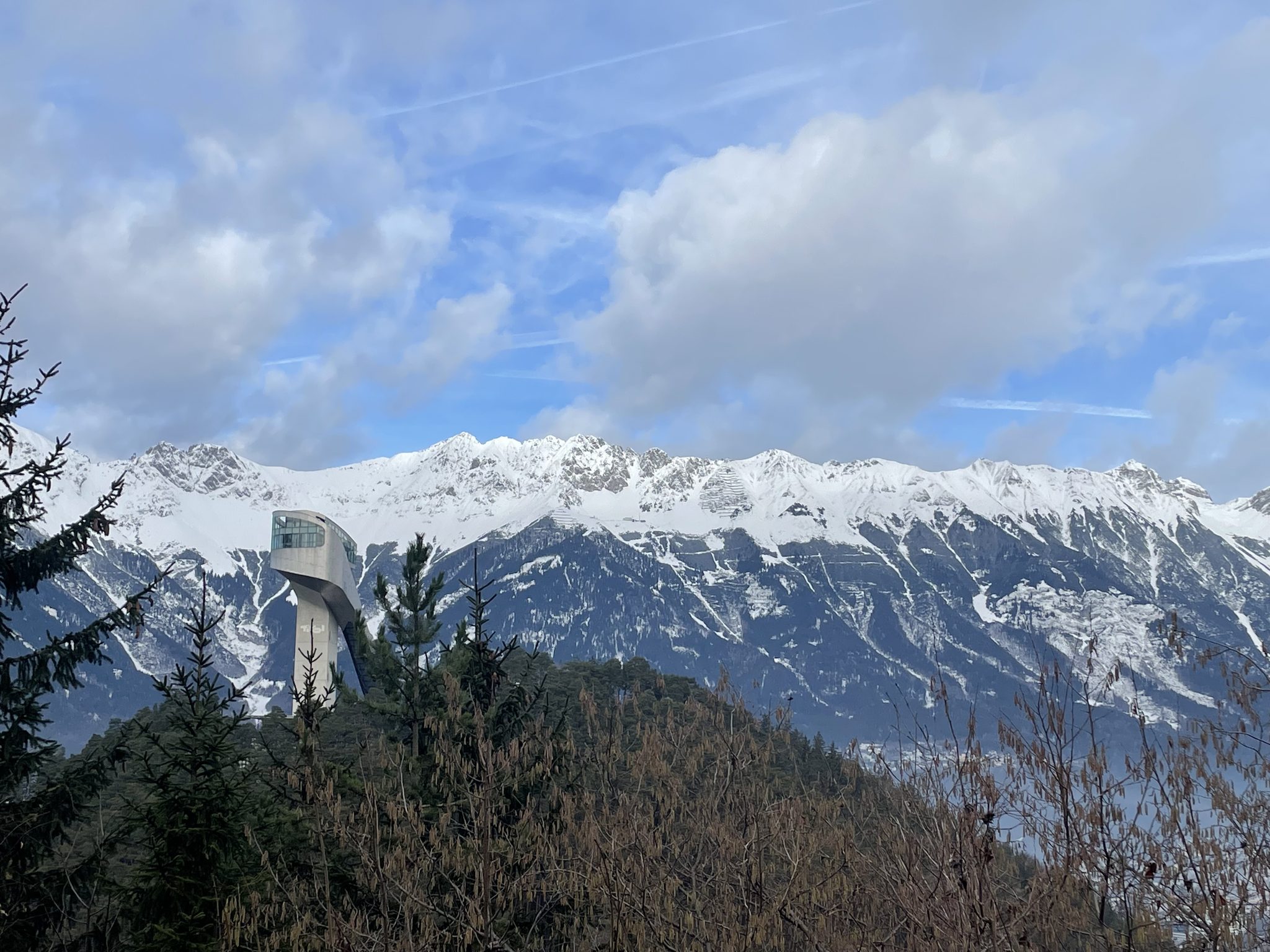
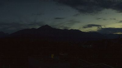
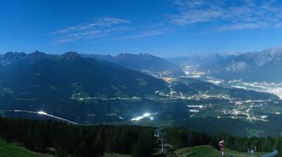
Live webcam
Lifts open: 0/5
Snow report
- Last 24h (1374 m): 2 cm
- Last 72h (1374 m): 2 cm
- Last 7 days: Top (1804 m) 6cm · Mid-mountain (1374 m) 3cm · Valley (944 m) 0cm
- Season total (1374 m): 15 cm
Ski resorts open now · Snow report
About Mutters
A quiet Tyrolean retreat where traditional farmhouse charm meets easy tram access to the urban energy of nearby Innsbruck.
Highlights
- Rustic Tyrolean architecture
- Family-friendly atmosphere
- Direct tram links
- Gentle forest trails
Key Facts
- Altitude: 944m
- Top lift: 1804m
- Ski pistes: 46.8km
- Ski lifts: 6
- Population: 2,309
- Lakes nearby: 7
- MTB trails: 178km
- Mountain huts: 26
Ski Area
Included in these season passes
Weather and 10-day forecast for Mutters
- Today: -1 to 3 °C, snow, 1 h of sunshine
- Freezing level today: about 1693 m (1370 to 2090 m)
- Snowfall in the last 7 days: 3 cm
| Day | Min / max | Sky | Precipitation | Sunshine |
|---|---|---|---|---|
| Sun, Nov 22 | -1 / 3 °C | snow | dry | 1 h sun |
| Mon, Nov 23 | -4 / 0 °C | partly cloudy | dry | 4 h sun |
| Tue, Nov 24 | -4 / 0 °C | overcast | dry | 1 h sun |
| Wed, Nov 25 | -1 / 3 °C | overcast | dry | 2 h sun |
| Thu, Nov 26 | -3 / 0 °C | snow | dry | 1 h sun |
| Fri, Nov 27 | -5 / -1 °C | snow | dry | 3 h sun |
| Sat, Nov 28 | -6 / 2 °C | clear sky | dry | 9 h sun |
| Sun, Nov 29 | -9 / 2 °C | overcast | dry | 3 h sun |
| Mon, Nov 30 | -10 / 1 °C | clear sky | dry | 9 h sun |
| Tue, Dec 1 | -10 / 2 °C | clear sky | dry | 7 h sun |
Things to do in Mutters
Hikes nearby - Mutters (20)
20+ curated hiking trails around Mutters, sourced from OpenStreetMap and enriched with distance, elevation gain and difficulty.
-
Adlerweg Etappe 13
Innsbruck – Zirbenweg – Innsbruck
-
Geroldsschluchtweg
The Geroldsschluchtweg threads through the Geroldschlucht gorge, a stretch described as somewhat demanding underfoot, before emerging at the Natterersee and continuing up to Götzens.
-
Andreas Hofer Weg
-
Holzerweg
-
Götzener Almweg
The trail follows a broad forest road — gentle enough for all-terrain wheelchairs and pushchairs — from the Muttereralmbahn cable car's upper station, passing the unworked Mutterer Sennalm and a wooden cross in a ravine before the Götzner Alm (1,542 m) appears on a sunlit clearing across the slope. Along the way, views open toward the Karwendel range, the Pfriemeswand, the Nockspitze, and the Birgitzköpflhaus.
-
Rundwanderweg Rosengarten
-
Lanser-Kopf-Lauf
A scenic loop near Innsbruck threading through nature and multiple viewpoints, with optional detours to a forest playground, a tree horoscope, and a swim at Lake Lanersee.
-
Lanser Steig
The Lanser Steig descends the north face of the Patscherkofel to the Lanser Alm at 1718 m, a renovated stone building where the terrace looks out across the Inntal to the Nordkette. The path transitions from open meadow terrain to a narrow woodland trail before crossing the Ramsbach on the final approach to the alm.
-
Tummelplatzweg
-
Stollensteig
The Stollensteig traces a route past the Sill Gorge before arriving at Mieders in the Stubai Valley, set against the dramatic backdrop of the Stubai Alps.
-
Bederlungerweg
-
Leithensteig
-
Rundwanderweg Rauher Brunnen
-
Natur-Lehrweg
-
Sunnseit'n Weg
-
Glungezer-Höhenweg
-
Adolf-Pichler-Weg
-
Haggenweg 2
-
50 / 4a Hochzirl - Magdeburger Hütte
-
53 Neue Magdeburger Hütte - Kleiner und Großer Solstein
Mountain biking near Mutters
- Stockerhof
- Natterer Boden-Runde
- Mutterer Alm - Kreither Alm
- Raitiseralmweg
- The Chainless One
- The First One
- The Straight One
- Nockhofweg
Getting to Mutters
Door-to-door travel times as used by the MR. ALPS ranking.
- Nearest airport: Innsbruck Airport (INN), 5 km away, about 15 min by road
- Innsbruck: 16 min by car, 9 km
- Bolzano - Bozen: 1h36 by car, 118 km
- München: 2h01 by car, 147 km
- Trento: 2h07 by car, 174 km
- Verona: 3h05 by car, 269 km
- Brescia: 3h35 by car, 305 km
Where to stay in Mutters
503 places to stay for a night on 2026-11-27, from 106 EUR per night, median 334 EUR. Prices are direct with hotels and destinations, compared live on the Mutters page.