Mayrhofen
Alps › Tyrol Schistose Alps › Tux Alps
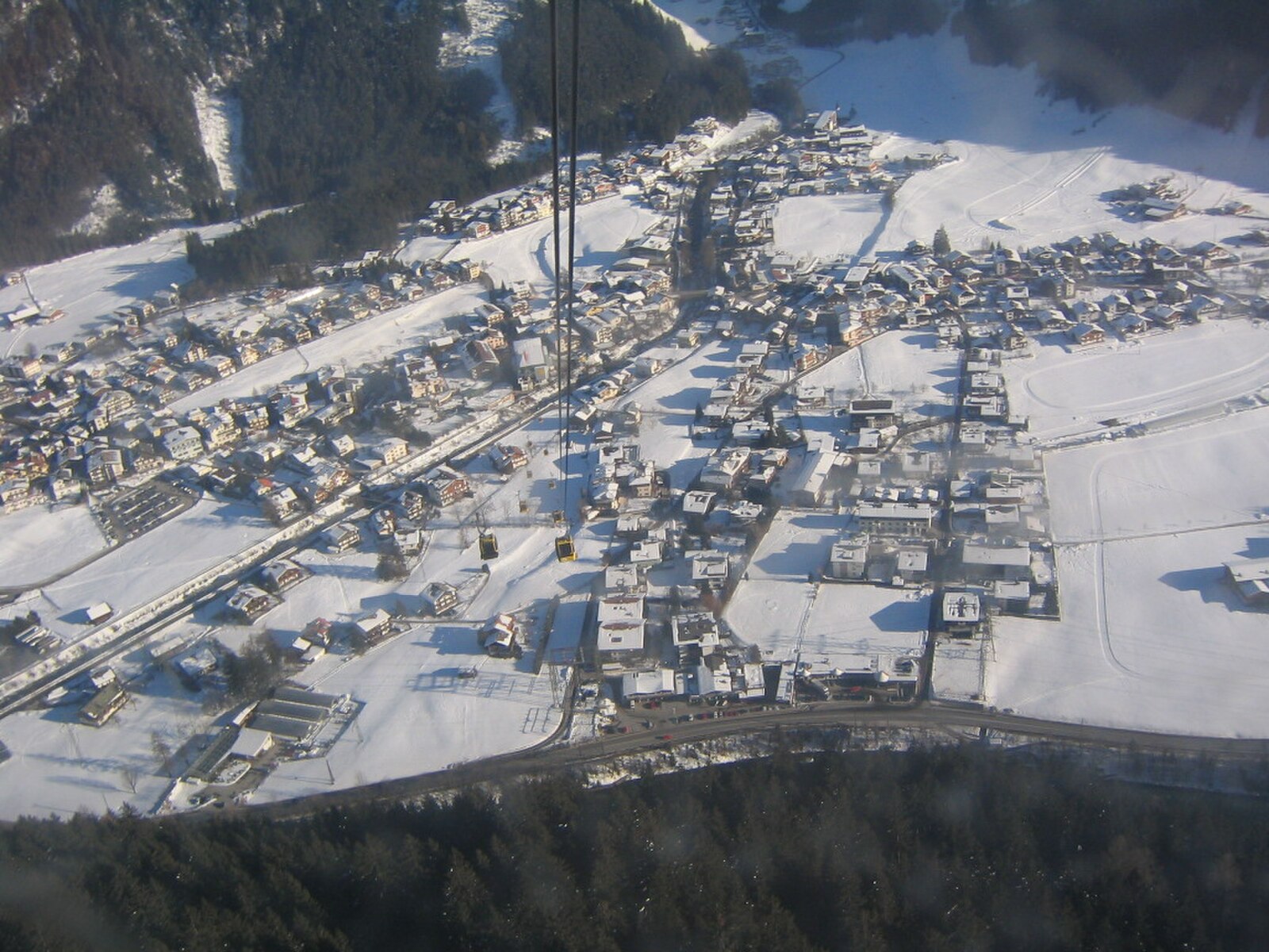
Live webcam


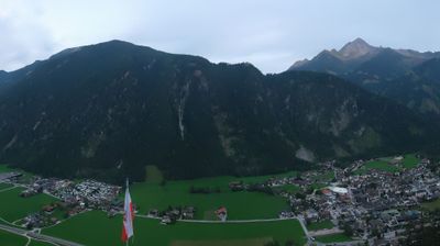
Lifts open: 0/61
Snow report
- Last 24h (1670 m): 0 cm
- Last 72h (1670 m): 1 cm
- Last 7 days: Top (2500 m) 13cm · Mid-mountain (1670 m) 2cm · Valley (840 m) 0cm
- Season total (1670 m): 4 cm
Ski resorts open now · Snow report
About Mayrhofen
The rowdy heart of the Zillertal, where steep legendary runs meet an anarchic après-ski scene that refuses to sleep.
Highlights
- Vibrant nightlife scene
- Steep vertical drops
- Snowbombing festival
- Tyrolean charm
Key Facts
- Altitude: 840m
- Top lift: 2500m
- Ski pistes: 124.2km
- Ski lifts: 44
- Population: 3,979
- Lakes nearby: 15
- MTB trails: 214.3km
- Mountain huts: 18
Ski Area
Included in these season passes
Weather and 10-day forecast for Mayrhofen
- Today: -2 to 3 °C, snow, 1 h of sunshine
- Freezing level today: about 1903 m (1570 to 2120 m)
- Snowfall in the last 7 days: 5 cm
| Day | Min / max | Sky | Precipitation | Sunshine |
|---|---|---|---|---|
| Sun, Nov 22 | -2 / 3 °C | snow | dry | 1 h sun |
| Mon, Nov 23 | -7 / -2 °C | snow showers | dry | 3 h sun |
| Tue, Nov 24 | -9 / -1 °C | clear sky | dry | 9 h sun |
| Wed, Nov 25 | -2 / 2 °C | overcast | dry | 1 h sun |
| Thu, Nov 26 | -10 / -2 °C | snow | dry | 0 h sun |
| Fri, Nov 27 | -12 / -5 °C | clear sky | dry | 8 h sun |
| Sat, Nov 28 | -11 / -5 °C | clear sky | dry | 7 h sun |
| Sun, Nov 29 | -11 / 4 °C | overcast | dry | 1 h sun |
| Mon, Nov 30 | -5 / 4 °C | snow | dry | 1 h sun |
| Tue, Dec 1 | -5 / 4 °C | snow | dry | 0 h sun |
Things to do in Mayrhofen
Hikes nearby - Mayrhofen (18)
18 curated hiking trails around Mayrhofen, sourced from OpenStreetMap and enriched with distance, elevation gain and difficulty.
-
Wanderweg 536
-
Berliner Höhenweg Etappe 8
The final stage of the Berliner Höhenweg descends from the Karl-von-Edel-Hütte along the Ahornseite into Mayrhofen, passing through forest trails via Alpenrose, with the option to cut the descent short by riding the Ahornbahn from its top station.
-
Wanderweg 515
-
Wanderweg 46: Mayrhofen => Ahornbahn Bergstation
-
AV Weg 321
-
Via Alpina Red R38
Finkenberg - Rastkogelhütte
-
Via Alpina Red R37
Ginzling - Finkenberg
-
Berliner Höhenweg Etappe 1
The first stage of the Berliner Höhenweg climbs from Finkenberg into the Zillertal Alps High Mountain Nature Park, a landscape of granite, moraines, and glacier views that sits largely above the treeline. It connects to the Gamshütte, threading through high-alpine terrain that demands sure-footedness and a head for heights, with rope-secured passages in exposed sections.
-
Wanderweg 534
-
Wanderweg 315
-
Berliner Höhenweg Etappe 2
The second stage of the Berliner Höhenweg traverses high-alpine terrain in the Zillertal Alps High Mountain Nature Park, linking the Gamshütte to the Friesenberghaus above the treeline. The route passes through a landscape of granite, moraines, and glaciated peaks rising above 3000 m.
-
AV Weg 514
-
Berliner Höhenweg Zustieg Ahornbahn
-
Wanderweg 514
-
AV Weg 514
-
Erlebnisweg Tuxerbach
-
19
-
Easy Trail
Mountain biking near Mayrhofen
- Finkenberg - Penkenjoch
- Bike Trail Tirol Etappe 18: Mayrhofen - Lanersbach
- Finkenberg-Mittelstation-Penkenjoch
- Wanglalm - Penkenjoch
- Horberg - Penken Runde
- Mösl - Penkenjoch
- Bike & Hike Gamshütte
- Penken Panorama-Runde
Filmed here
- The Piefke Saga (1990)
Getting to Mayrhofen
Door-to-door travel times as used by the MR. ALPS ranking.
- Nearest airport: Innsbruck Airport (INN), 36 km away, about 1h49 by road
- Innsbruck: 2h11 by train, 70 km
- München: 3h32 by train, 170 km
- Bolzano - Bozen: 4h15 by car, 200 km
- Trento: 4h46 by car, 255 km
- Nürnberg: 4h54 by train, 368 km
- Stuttgart: 5h42 by train, 463 km
Where to stay in Mayrhofen
1000 places to stay for a night on 2026-11-27, from 112 EUR per night, median 222 EUR. Prices are direct with hotels and destinations, compared live on the Mayrhofen page.