Manigod
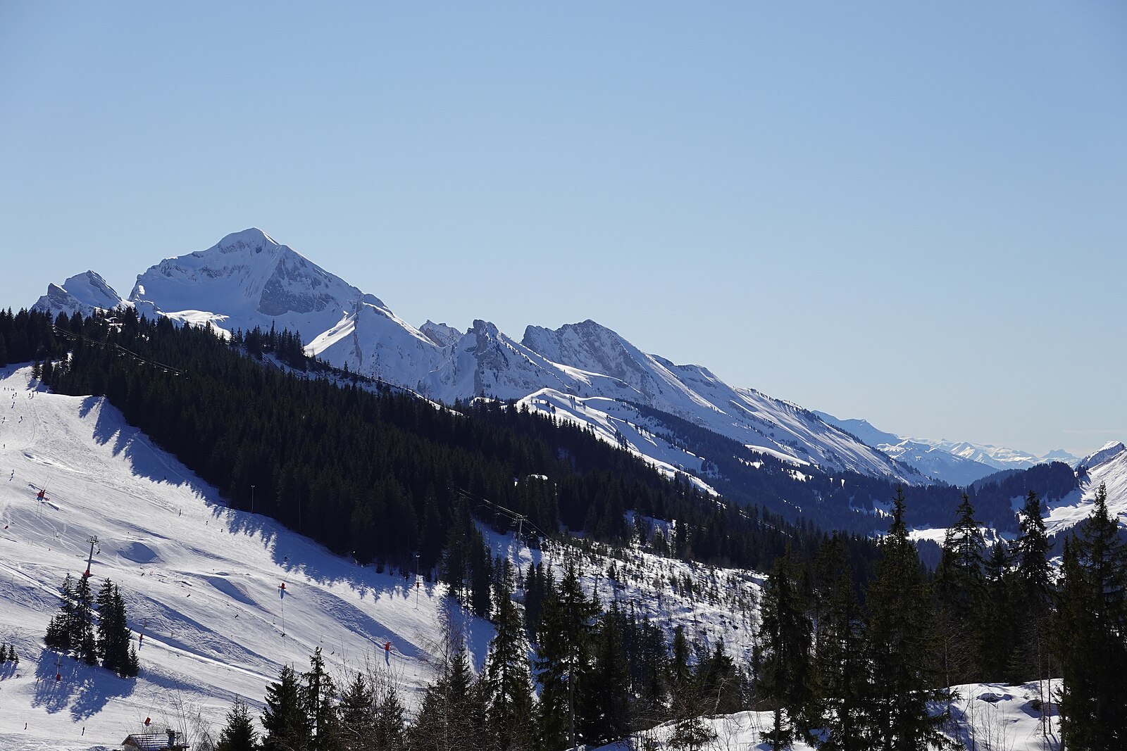
Alps › Savoy Prealps › Aravis Range
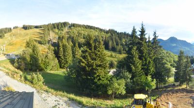
Live webcam



Lifts open: 0/50
Snow report
- Last 24h (1710 m): 4 cm
- Last 72h (1710 m): 6 cm
- Last 7 days: Top (2485 m) 4cm · Mid-mountain (1710 m) 7cm · Valley (935 m) 4cm
- Season total (1710 m): 0 cm
Ski resorts open now · Snow report
About Manigod
A quiet Savoyard hideaway where artisanal Reblochon farms meet gentle slopes, offering a slow-paced alternative to the nearby crowds.
Highlights
- Traditional farmhouse architecture
- Artisanal cheese heritage
- Family-friendly terrain
- Understated Savoyard charm
Key Facts
- Altitude: 935m
- Top lift: 2485m
- Ski pistes: 110.4km
- Ski lifts: 49
- Population: 1,006
- Lakes nearby: 8
- MTB trails: 81.2km
- Mountain huts: 18
Ski Area
Weather and 10-day forecast for Manigod
- Today: -1 to 2 °C, rain, 0 h of sunshine
- Freezing level today: about 2015 m (1620 to 2700 m)
- Snowfall in the last 7 days: 13 cm
| Day | Min / max | Sky | Precipitation | Sunshine |
|---|---|---|---|---|
| Sun, Nov 22 | -1 / 2 °C | rain | dry | 0 h sun |
| Mon, Nov 23 | -3 / -1 °C | snow showers | dry | 0 h sun |
| Tue, Nov 24 | -4 / 1 °C | overcast | dry | 1 h sun |
| Wed, Nov 25 | -2 / 1 °C | snow | dry | 0 h sun |
| Thu, Nov 26 | -4 / -2 °C | snow | dry | 1 h sun |
| Fri, Nov 27 | -7 / -4 °C | overcast | dry | 2 h sun |
| Sat, Nov 28 | -7 / -2 °C | clear sky | dry | 8 h sun |
| Sun, Nov 29 | -6 / 3 °C | snow | dry | 0 h sun |
| Mon, Nov 30 | -2 / 4 °C | partly cloudy | dry | 3 h sun |
| Tue, Dec 1 | -2 / 1 °C | snow showers | dry | 0 h sun |
Things to do in Manigod
Hikes nearby - Manigod (10)
10 curated hiking trails around Manigod, sourced from OpenStreetMap and enriched with distance, elevation gain and difficulty.
-
La Tournette
A steep climb through mountain pastures in the Bornes Massif, this loop ascends to La Tournette's 2,351m summit — the highest peak surrounding Lake Annecy — where the reward is a sweeping view of the lake below and Mont Blanc on the horizon.
-
La Croix de Colomban
-
Massif de Tournette-Aravis
A strenuous loop through the Bornes massif, this route climbs from the hamlet of Montmin to the summit of La Tournette at 2,351 metres, where the effort is rewarded with a fine view of Mont Blanc. The early kilometres follow a stony path with a steep descent before the long push to the top.
-
Tour de l'Adran
-
KV de Manigod
-
Chalet Rochette
Randonnée permettant d'atteindre la ligne de crête de la Montagne des Grandes Lanches. En passant par les alpages de Rochette, vous parviendrez à l'arête des Lanches Noires, avec une curiosité géologique à découvrir : Le Trou de la Chapelle.
-
Circuit de la Têtaz
-
Circuit du Nant du Sappey
-
Circuit de la Buffaz
-
Combe d'Ablon
Mountain biking near Manigod
- DH de la Ferriaz
- Piste Descente VTT de la Ferriaz N°24
- Chemin de l'Andran
- DH de la Grenêche
- VTT DH de la Grenêche N°10
- Enduro des Juments
- P'tit Loup - Vert
- P'tit Loup - Rouge
Getting to Manigod
Door-to-door travel times as used by the MR. ALPS ranking.
- Nearest airport: Geneva International Airport (GVA), 47 km away, about 1h12 by road
- Annecy: 36 min by car, 27 km
- Genève: 1h01 by car, 64 km
- Chambéry: 1h04 by car, 77 km
- Grenoble: 1h41 by car, 122 km
- Lausanne: 1h41 by car, 126 km
- Lyon: 2h05 by car, 166 km
Where to stay in Manigod
121 places to stay for a night on 2026-11-27, from 70 EUR per night, median 109 EUR. Prices are direct with hotels and destinations, compared live on the Manigod page.