Isola 2000
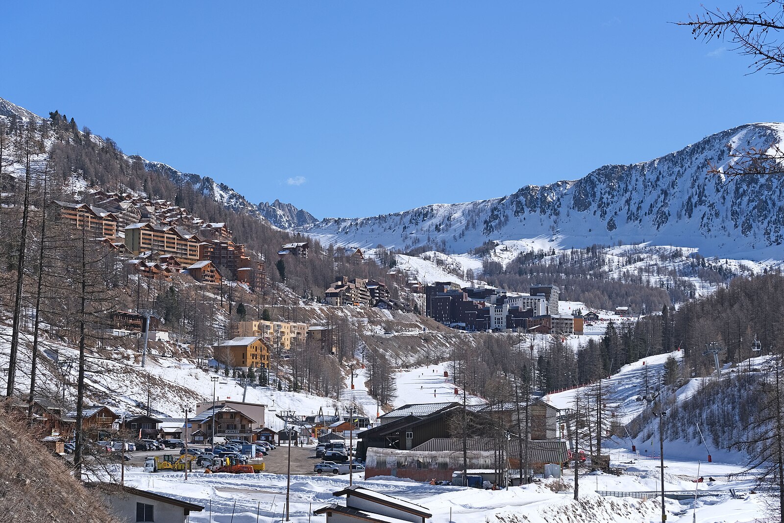
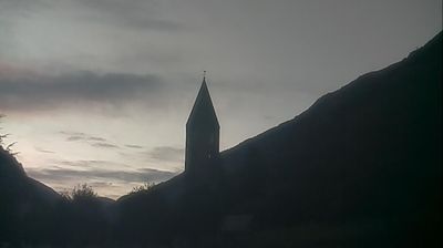
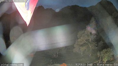
Live webcam
Lifts open: 0/20
Snow report
- Last 24h: 0 cm
- Last 72h: 0 cm
- Last 7 days: 0 cm
- Last 7 days: Valley 0cm · Mid-mountain 0cm · Top 0cm
- Season total: 0 cm
Ski resorts open now · Snow report
About Isola 2000
A sun-drenched outpost where Mediterranean blue meets high-altitude powder, just a short drive from the glittering French Riviera.
Highlights
- Coastal mountain views
- Southern French sun
- Reliable microclimate snow
- Riviera weekend escape
Key Facts
- Altitude: 2032m
- Top lift: 2603m
- Ski pistes: 120km
- Ski lifts: 20
- Population: 600
- Lakes nearby: 37
- Mountain huts: 22
Ski Area
Weather and 10-day forecast for Isola 2000
- Today: 6 to 16 °C, clear sky, 10 h of sunshine
- Freezing level today: about 4376 m (4210 to 4750 m)
| Day | Min / max | Sky | Precipitation | Sunshine |
|---|---|---|---|---|
| Sun, Sep 20 | 6 / 16 °C | clear sky | dry | 10 h sun |
| Mon, Sep 21 | 10 / 16 °C | overcast | dry | 3 h sun |
| Tue, Sep 22 | 8 / 15 °C | clear sky | dry | 9 h sun |
| Wed, Sep 23 | 8 / 12 °C | partly cloudy | dry | 4 h sun |
| Thu, Sep 24 | 7 / 15 °C | partly cloudy | dry | 5 h sun |
| Fri, Sep 25 | 10 / 15 °C | partly cloudy | dry | 7 h sun |
| Sat, Sep 26 | 8 / 14 °C | partly cloudy | dry | 6 h sun |
| Sun, Sep 27 | 7 / 13 °C | overcast | dry | 1 h sun |
| Mon, Sep 28 | 1 / 14 °C | clear sky | dry | 12 h sun |
| Tue, Sep 29 | 0 / 14 °C | clear sky | dry | 12 h sun |
Things to do in Isola 2000
Hikes nearby — Isola 2000 (18)
18 curated hiking trails around Isola 2000, sourced from OpenStreetMap and enriched with distance, elevation gain and difficulty.
-
Via Alpina Red R140
Sant'Anna di Vinadio - Rifugio Malinvern
-
Via Alpina Red R141
Rifugio Malinvern - Rifugio Questa
-
Via Alpina Red R142
Rifugio Questa - Rifugio Morelli-Buzzi
-
Tête Mercière
Randoxygène - Haut-Pays - Haute Tinée 2
-
Baisse de Druos
From the Isola 2000 ski area, this out-and-back trail climbs through Mercantour National Park to the Lacs de Terre Rouge and then pushes on to the Baisse de Druos pass at 2,628 metres on the Franco-Italian border. From the pass, the Upper Lakes of Valscura open up across the border, while the route up is framed by snow-capped mountains and frozen alpine lakes.
-
Via Alpina Red R139
Strepeis - Sant'Anna di Vinadio
-
Via Alpina Blue D57
-
Saint-Dalmas-Valdeblore - Col de Salèse
-
Trekking del lupo
-
Tour du Lausfer
Randoxygène - Haut-Pays - Haute Tinée 2
-
Lac Nègre
Randoxygène - Haut-Pays - Haute Vésubie
-
Circuit des Adus
Randoxygène - Haut-Pays - Haute Vésubie
-
Boucle de Louch
Randoxygène - Haut-Pays - Haute Tinée 2
-
Rochers de Valabres
Randoxygène - Haut-Pays - Moyenne Tinée
-
Mont Pépoiri
Randoxygène - Haut-Pays - Moyenne Tinée
-
Circuit de la Couletta
-
Circuit de Roure
-
San Bernolfo-Testa dell'Autaret
Mountain biking near Isola 2000
- Chemin des Italiens
- Mercantour Express
Getting to Isola 2000
Door-to-door travel times as used by the MR. ALPS ranking.
- Nearest airport: Nice-Côte d'Azur Airport (NCE), 59 km away, about 1h41 by road
- Nice: 1h34 by car, 93 km
- Torino: 2h29 by car, 160 km
- Genova: 3h03 by car, 208 km
- Marseille: 3h32 by car, 275 km
- Milano: 3h58 by car, 287 km
- Grenoble: 4h37 by car, 256 km
Where to stay in Isola 2000
11 places to stay for a night on 2026-09-25, from 119 EUR per night, median 129 EUR. Prices are direct with hotels and destinations, compared live on the Isola 2000 page.