Malleray - Les Orvalles
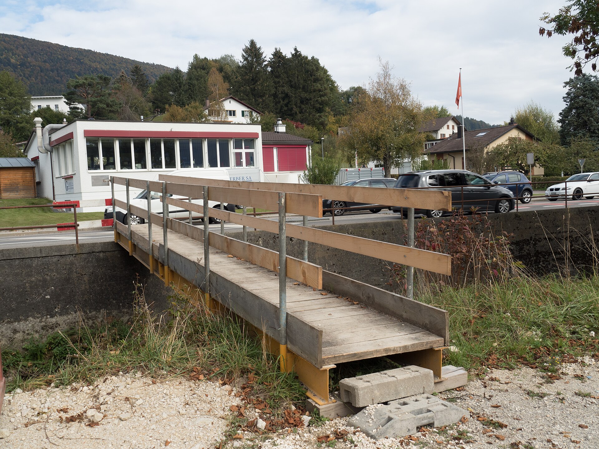
About Malleray - Les Orvalles
A quiet Jura escape where watchmaking heritage meets pastoral serenity, far from the high-altitude crowds of the Bernese Oberland.
Highlights
- Watchmaking heritage
- Verdant valley trails
- Traditional Jura farmhouses
- Quiet pastoral charm
Key Facts
- Altitude: 781m
- Top lift: 842m
- Ski pistes: 0.4km
- Ski lifts: 1
- Lakes nearby: 1
- MTB trails: 60km
- Mountain huts: 10
Ski Area
Weather and 10-day forecast for Malleray - Les Orvalles
- Today: 5 to 22 °C, clear sky, 12 h of sunshine
- Freezing level today: about 4041 m (3870 to 4290 m)
| Day | Min / max | Sky | Precipitation | Sunshine |
|---|---|---|---|---|
| Mi., 23. Sept. | 5 / 22 °C | clear sky | dry | 12 h sun |
| Do., 24. Sept. | 10 / 21 °C | overcast | dry | 1 h sun |
| Fr., 25. Sept. | 9 / 23 °C | clear sky | dry | 12 h sun |
| Sa., 26. Sept. | 11 / 26 °C | clear sky | dry | 12 h sun |
| So., 27. Sept. | 13 / 27 °C | clear sky | dry | 12 h sun |
| Mo., 28. Sept. | 14 / 28 °C | clear sky | dry | 12 h sun |
| Di., 29. Sept. | 13 / 27 °C | clear sky | dry | 12 h sun |
| Mi., 30. Sept. | 12 / 23 °C | clear sky | dry | 9 h sun |
| Do., 1. Okt. | 14 / 23 °C | drizzle | dry | 2 h sun |
| Fr., 2. Okt. | 13 / 22 °C | drizzle | dry | 11 h sun |
Things to do in Malleray - Les Orvalles
Hikes nearby — Malleray - Les Orvalles (20)
20+ curated hiking trails around Malleray - Les Orvalles, sourced from OpenStreetMap and enriched with distance, elevation gain and difficulty.
-
Jura-Höhenweg
Etappe 6: Weissenstein – Frinvillier
-
ViaJura - Etappe 5
-
Chemin du Jura bernois - Etappe 1
-
ViaJura - Etappe 7
-
ViaJura - Etappe 6
-
ViaBerna Etappe 5
-
Chemin du Jura bernois - Etappe 2
-
ViaBerna Etappe 1
-
Seeland-Solothurn-Weg
Etappe 2: Biel – Büren a. A.
-
Moron/Sommet- fixme
markierter Wanderweg
-
Montagne de Romont-Plagne
-
Les Ecorcheresses - fixme
markierter Wanderweg
-
Chemin de Moron
-
Plagne-Pâturage de Sagne
-
Pré La Vigne - fixme
markierter Wanderweg
-
Chemin de Montoz
-
ViaJura: Moutier gare - BE-77030
-
ViaJura: BE-76002 - BE-73221
-
Chemin du Jura bernois: Moutier gare - BE-77030
-
ViaJura: BE-77030 - BE-76002
Mountain biking near Malleray - Les Orvalles
- Grenchen Bike
- 22 contours / Geissrügge
- Stützliweg
- Unterbergwägli
- Naturfreundeweg
- Staatswald Trail
- Unterblüttiwägli
Getting to Malleray - Les Orvalles
Door-to-door travel times as used by the MR. ALPS ranking.
- Nearest airport: Bern Airport (BRN), 39 km away, about 1h15 by road
- Biel/Bienne: 34 min by car, 25 km
- Bern: 1h03 by car, 65 km
- Basel: 1h18 by car, 65 km
- Luzern: 1h39 by car, 124 km
- Zürich: 1h50 by car, 135 km
- Lausanne: 1h52 by car, 128 km
Where to stay in Malleray - Les Orvalles
26 places to stay for a night on 2026-09-25, from 122 EUR per night, median 139 EUR. Prices are direct with hotels and destinations, compared live on the Malleray - Les Orvalles page.