L'Auberson
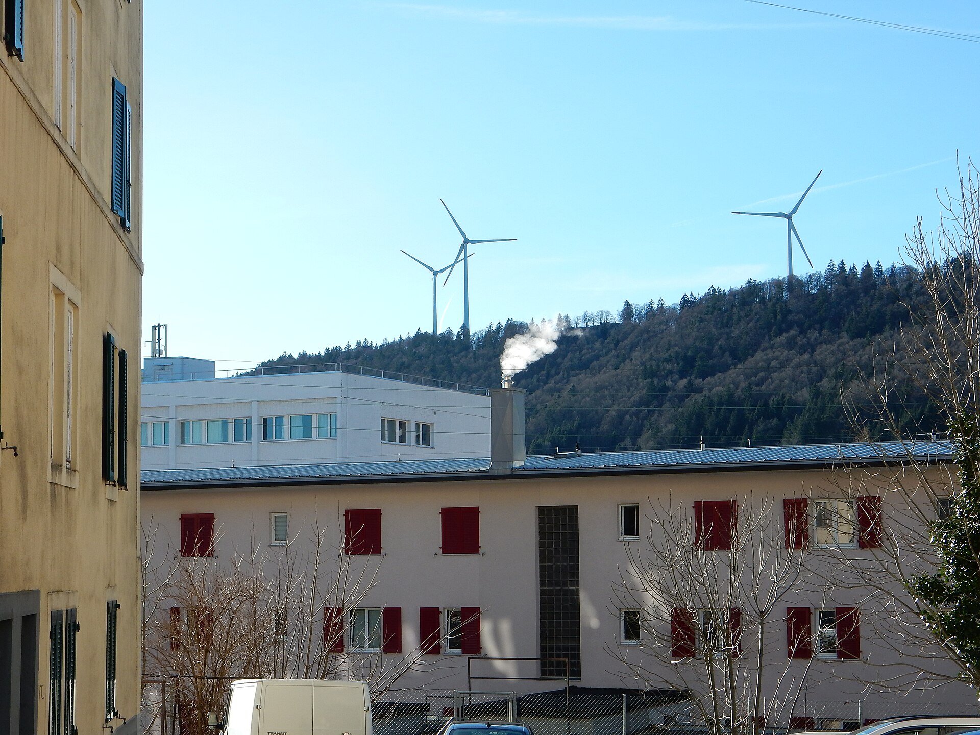
About L'Auberson
A tranquil Jura plateau hamlet celebrated for its legacy of mechanical music boxes and vast, rolling cross-country trails.
Highlights
- Mechanical music history
- Rolling Jura landscapes
- Cross-country skiing
- Traditional watchmaking craft
Key Facts
- Altitude: 1142m
- Top lift: 1212m
- Ski pistes: 0.7km
- Ski lifts: 1
- Lakes nearby: 3
- MTB trails: 143.5km
- Mountain huts: 10
Ski Area
Weather and 10-day forecast for L'Auberson
- Today: 8 to 18 °C, clear sky, 12 h of sunshine
- Freezing level today: about 4332 m (4190 to 4420 m)
| Day | Min / max | Sky | Precipitation | Sunshine |
|---|---|---|---|---|
| Di., 22. Sept. | 8 / 18 °C | clear sky | dry | 12 h sun |
| Mi., 23. Sept. | 9 / 20 °C | clear sky | dry | 12 h sun |
| Do., 24. Sept. | 8 / 16 °C | overcast | dry | 1 h sun |
| Fr., 25. Sept. | 6 / 18 °C | clear sky | dry | 12 h sun |
| Sa., 26. Sept. | 10 / 22 °C | clear sky | dry | 12 h sun |
| So., 27. Sept. | 11 / 22 °C | partly cloudy | dry | 7 h sun |
| Mo., 28. Sept. | 11 / 18 °C | rain showers | dry | 2 h sun |
| Di., 29. Sept. | 11 / 20 °C | clear sky | dry | 10 h sun |
| Mi., 30. Sept. | 11 / 19 °C | drizzle | dry | 2 h sun |
| Do., 1. Okt. | 10 / 13 °C | rain showers | dry | 0 h sun |
Things to do in L'Auberson
Hikes nearby — L'Auberson (20)
20+ curated hiking trails around L'Auberson, sourced from OpenStreetMap and enriched with distance, elevation gain and difficulty.
-
Via Cluny Variante Morteau Etape 2
-
Via Francigena - part France - 04 Besançon - frontière
La Via Francigena — en français la « voie francigène » — est un chemin de pèlerinage reliant Canterbury à Rome, en passant par la France et la Suisse. Il est restrictif de l'identifier au seul itinéraire de Sigéric de Cantorbéry, archevêque de Cantorbéry, qui effectua le trajet en 990 et en laissa la description dans un document qui récapitule ses 79 étapes, lors du voyage de retour depuis la vill
-
Via Francigena - Variante historique
La Via Francigena — en français la « voie francigène » — est un chemin de pèlerinage reliant Canterbury à Rome, en passant par la France et la Suisse. Il est restrictif de l'identifier au seul itinéraire de Sigéric de Cantorbéry, archevêque de Cantorbéry, qui effectua le trajet en 990 et en laissa la description dans un document qui récapitule ses 79 étapes, lors du voyage de retour depuis la vill
-
Via Cluny Etape 8
-
Chemin des Crêtes du Jura
-
La Gittaz-Col de l'Aigullon
-
Chalet de la Maya - fixme
-
Chalet de la Maya - Noirvaux
-
Noirvaux - Saint Olivier
-
Les Praz - Baulmes
-
Chemin des Gorges de Covatannaz
-
Col de l'Aiguillon-Grange Neuve
-
Le Sentier des Bornes
-
Petite Robella - Hôtel du Chasseron
-
Petite Robella - Hôtel du Chasseron
-
Sentier des Bornes
-
Jura-Höhenweg: Sainte-Croix GARE 2 (N°5) - Ballaigues
-
Jura-Höhenweg: La Combaz - Sainte-Croix GARE 2 (N°5)
-
ViaFrancigena: Les Echampés F - Orbe
-
Chemin nature pour tous
Mountain biking near L'Auberson
- Neuchâtel Bike
- Le Mont des Verrières
- Le Fort de Joux
- La roche Sarrazine
- Le Mont Ramey
- Les Miroirs du Larmont
Getting to L'Auberson
Door-to-door travel times as used by the MR. ALPS ranking.
- Nearest airport: Bern Airport (BRN), 77 km away, about 1h29 by road
- Lausanne: 48 min by car, 51 km
- Biel/Bienne: 1h14 by car, 85 km
- Bern: 1h15 by car, 94 km
- Genève: 1h20 by car, 100 km
- Annecy: 1h54 by car, 142 km
- Chambéry: 2h18 by car, 186 km
Where to stay in L'Auberson
23 places to stay for a night on 2026-09-25, from 121 EUR per night, median 226 EUR. Prices are direct with hotels and destinations, compared live on the L'Auberson page.