Espace Lumière
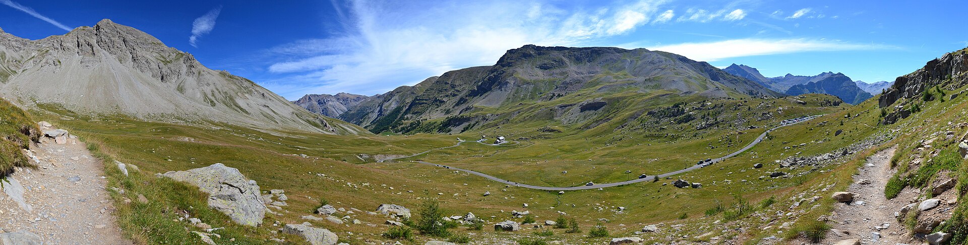
About Espace Lumière
A sprawling, sun-baked link between the Southern Alps and Provence, prized for its wild terrain and relaxed Mediterranean pace.
Highlights
- Unspoiled larch forests
- High-altitude sun
- Rustic mountain huts
- Southern French charm
Key Facts
- Altitude: 1495m
- Top lift: 2592m
- Ski pistes: 186km
- Ski lifts: 39
- Lakes nearby: 4
- MTB trails: 198.7km
- Mountain huts: 6
Ski Area
Weather and 10-day forecast for Espace Lumière
- Today: 9 to 16 °C, clear sky, 10 h of sunshine
- Freezing level today: about 4495 m (4340 to 4650 m)
| Day | Min / max | Sky | Precipitation | Sunshine |
|---|---|---|---|---|
| Mi., 23. Sept. | 9 / 16 °C | clear sky | dry | 10 h sun |
| Do., 24. Sept. | 9 / 20 °C | overcast | dry | 5 h sun |
| Fr., 25. Sept. | 10 / 19 °C | clear sky | dry | 9 h sun |
| Sa., 26. Sept. | 9 / 18 °C | clear sky | dry | 11 h sun |
| So., 27. Sept. | 10 / 18 °C | partly cloudy | dry | 7 h sun |
| Mo., 28. Sept. | 9 / 19 °C | partly cloudy | dry | 7 h sun |
| Di., 29. Sept. | 8 / 20 °C | clear sky | dry | 12 h sun |
| Mi., 30. Sept. | 9 / 18 °C | partly cloudy | dry | 8 h sun |
| Do., 1. Okt. | 6 / 12 °C | drizzle | dry | 11 h sun |
| Fr., 2. Okt. | 3 / 10 °C | clear sky | dry | 8 h sun |
Things to do in Espace Lumière
Hikes nearby — Espace Lumière (17)
17 curated hiking trails around Espace Lumière, sourced from OpenStreetMap and enriched with distance, elevation gain and difficulty.
-
De Seyne au Col du Roburent
Il s’agit de l’étape la plus longue et difficile de l’itinéraire. Attention, risque d’enneigement jusqu’au mois de juin rendant le passage du col dangereux voire impraticable.
-
Le Belvédère du Fau
-
Chemin pastoral de LesThuiles à Laverq
-
Col de Terres Blanches
-
Chemin de Barcelonnette au Sauze
-
Trail Montée de l'Estrop
-
Chemin pastoral du Col de Bernardez
-
Circuit des hameaux
-
Puy Bas
-
Crêtes des Cognetons
-
Lac de l'Aupillon
Ein kleiner, runder See versteckt sich in den Höhen des Rioclar-Tals, geschützt von Gipfeln, die sich 3 000 Metern nähern — der einzige See am sonnenzugewandten Hang (*adret*) von Barcelonnette, der diesen Namen verdient. Die Route steigt an den Hirtenhütten von Les Hières vorbei, führt unterhalb der Cascade de la Pisse entlang und überquert hochalpine Weiden, bevor sie den See erreicht, der im Sommer manchmal austrocknet.
-
Tour de l'Ubaye
-
Baisse de Valdemars
-
Boucle du Bachelard
-
Chapeau de Gendarme (2 683 m)
-
Cabanes de Talon - Preinier
-
Cascade du Pich
Mountain biking near Espace Lumière
- The Flow
- Family & Kids
- Blue Brother
- Black Jack
- Red Carpet
Getting to Espace Lumière
Door-to-door travel times as used by the MR. ALPS ranking.
- Nearest airport: Marseille Provence Airport (MRS), 148 km away, about 2h53 by road
Where to stay in Espace Lumière
54 places to stay for a night on 2026-09-25, from 100 EUR per night, median 207 EUR. Prices are direct with hotels and destinations, compared live on the Espace Lumière page.