Königsbronn Abbey
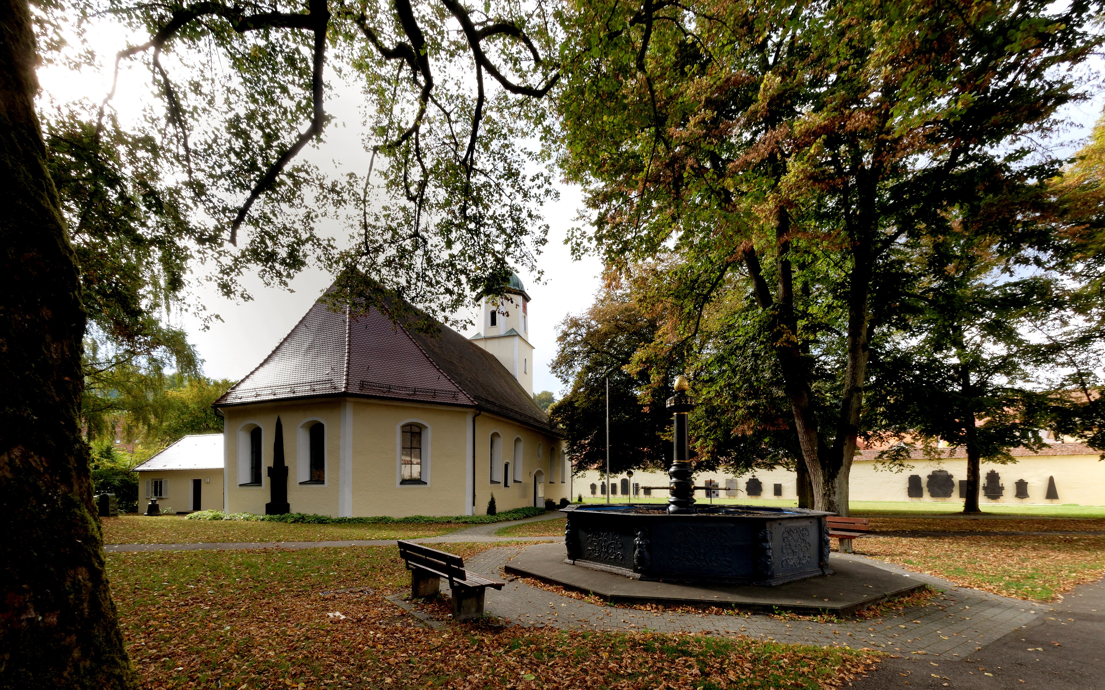
About Königsbronn Abbey
A tranquil monastic retreat where industrial history meets the serene, emerald waters of the Brenz river source.
Highlights
- Cistercian architecture
- Scenic river spring
- Ironworking heritage
- Quiet forest trails
Key Facts
- Altitude: 519m
- Top lift: 582m
- Ski pistes: 0.4km
- Ski lifts: 1
- Lakes nearby: 3
- MTB trails: 67.8km
Ski Area
Weather and 10-day forecast for Königsbronn Abbey
- Today: 12 to 18 °C, overcast, 2 h of sunshine
- Freezing level today: about 3470 m (3330 to 3570 m)
| Day | Min / max | Sky | Precipitation | Sunshine |
|---|---|---|---|---|
| pá 2. 10. | 12 / 18 °C | overcast | dry | 2 h sun |
| so 3. 10. | 11 / 21 °C | overcast | dry | 2 h sun |
| ne 4. 10. | 11 / 22 °C | overcast | dry | 3 h sun |
| po 5. 10. | 13 / 17 °C | rain | dry | 0 h sun |
| út 6. 10. | 10 / 18 °C | partly cloudy | dry | 5 h sun |
| st 7. 10. | 13 / 16 °C | rain | dry | 5 h sun |
| čt 8. 10. | 7 / 13 °C | rain showers | dry | 0 h sun |
| pá 9. 10. | 5 / 11 °C | overcast | dry | 3 h sun |
| so 10. 10. | 5 / 14 °C | clear sky | dry | 10 h sun |
| ne 11. 10. | 9 / 14 °C | drizzle | dry | 0 h sun |
Things to do in Königsbronn Abbey
Hikes nearby - Königsbronn Abbey (20)
20+ curated hiking trails around Königsbronn Abbey, sourced from OpenStreetMap and enriched with distance, elevation gain and difficulty.
-
HW 4 (Ellwangen - Ulm)
Würzburg - Ulm - Friedrichshafen
-
Albschäferweg Abschnitt Heidenheim - Gerstetten- Giengen
-
Tiefental - Wollenloch - Königsbronn
-
Brenztal - Gnannenkopf - Tauchenweiler
-
Irmannswailer - Königsbronn
-
Wanderblume Nr.3 "Quellwiesenweg"
-
Zugangsweg zum HW1 Oberkochen-Königsbronn-Lauterburg
-
Waldlehrpfad
-
Kirchenweg
Historischer Wegverlauf auf dem die Ochsenberger Bürger vor dem Bau der eigenen Johanneskirche zu Fuß nach Königsbronn in die Kirche gegangen sind.
-
Nebenweg des SAV (gelbes liegendes Y)
-
Itzelberg - Ochsenberg
gelbe Raute Itzelberg - Ochsenberg - Singereiche HW4
-
Karstquellenweg Oberkochen - Königsbronn
Der Karstquellenweg bei Oberkochen im Ostalbkreis und Königsbronn im Landkreis Heidenheim ist ein knapp 30 Kilometer langer Naturlehrpfad in Baden-Württemberg, der durch die aneinander grenzenden Quellgebiete von Kocher und Brenz führt.
-
Mittelburren - Brünneleskopf - Schnaitheim
-
Nebenweg Schnaitheim-Steinheim
-
Rundweg Bibersohl
Vom Wental zum alten Forsthaus.
-
Äußerer Zugangsweg des SAV (blaues Dreieck)
-
Falkenteich - Bibersohl
-
Aalbäumle HW1 - Oberkochen
-
Aalen, Stadtgarten - Limesmuseum - Unterrombach - Hahnenberg - Limeswanderweg
-
Aalen Bahnhof - Braunenberg
Horská kola u Königsbronn Abbey
- Mauertal-Loipe
- Wasserleitungsplanie
- Zollhausträßle
- Glaserteichsträßle
- Zollhaukopfweg
- Eselbuchsträßle
- Albvereinsweg
Getting to Königsbronn Abbey
Door-to-door travel times as used by the MR. ALPS ranking.
- Nearest airport: Stuttgart Airport (STR), 64 km away, about 2h16 by road
- Stuttgart: 2h19 by car, 87 km
- Nürnberg: 2h56 by car, 162 km
- München: 2h58 by car, 173 km
- Mannheim: 3h36 by car, 205 km
- Strasbourg: 3h57 by car, 238 km
- Frankfurt am Main: 3h59 by car, 279 km
Where to stay in Königsbronn Abbey
54 places to stay for a night on 2026-10-02, from 60 EUR per night, median 169 EUR. Prices are direct with hotels and destinations, compared live on the Königsbronn Abbey page.