Wangs
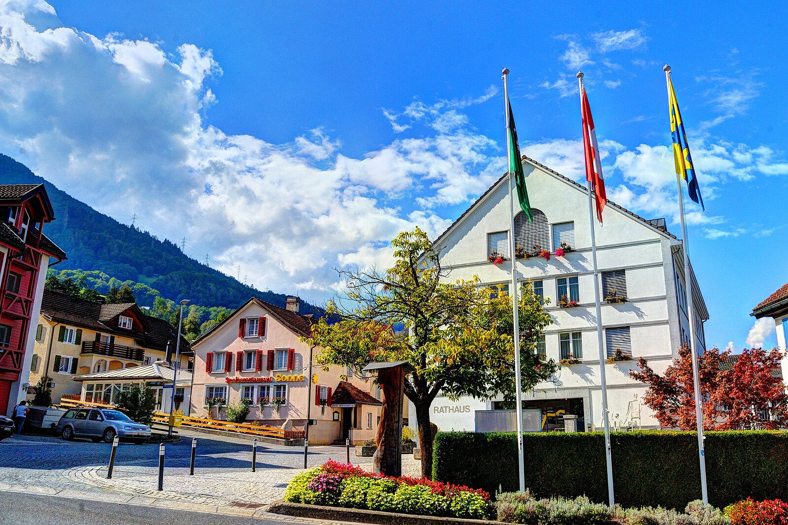
Živá webkamera
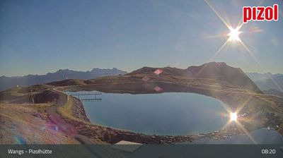
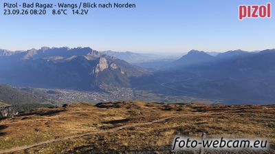

Otevřené vleky: 0/12
Sněhová zpráva
- Posledních 24h: 0 cm
- Posledních 72h: 0 cm
- Posledních 7 dní: 0 cm
- Posledních 7 dní: Údolí 0cm · Střední část 0cm · Vrchol 0cm
- Sezónní úhrn: 0 cm
Lyžařská střediska otevřená právě teď · Sněhová zpráva
About Wangs
A quiet gateway to the Pizol massif, favored by locals for its unpretentious charm and panoramic views over the Rhine Valley.
Highlights
- Panoramic ridge trails
- Family-run atmosphere
- Heidi-themed hiking
- Low-key local vibe
Key Facts
- Altitude: 510m
- Top lift: 2227m
- Ski pistes: 50km
- Ski lifts: 12
- Population: 6,467
- Lakes nearby: 14
- MTB trails: 370.4km
- Mountain huts: 10
Ski Area
Weather and 10-day forecast for Wangs
- Today: 8 to 21 °C, clear sky, 12 h of sunshine
- Freezing level today: about 3742 m (3490 to 3930 m)
| Day | Min / max | Sky | Precipitation | Sunshine |
|---|---|---|---|---|
| st 23. 9. | 8 / 21 °C | clear sky | dry | 12 h sun |
| čt 24. 9. | 11 / 23 °C | overcast | dry | 1 h sun |
| pá 25. 9. | 11 / 20 °C | clear sky | dry | 12 h sun |
| so 26. 9. | 11 / 24 °C | clear sky | dry | 9 h sun |
| ne 27. 9. | 13 / 25 °C | clear sky | dry | 12 h sun |
| po 28. 9. | 16 / 27 °C | partly cloudy | dry | 6 h sun |
| út 29. 9. | 16 / 28 °C | clear sky | dry | 12 h sun |
| st 30. 9. | 12 / 26 °C | overcast | dry | 12 h sun |
| čt 1. 10. | 10 / 25 °C | overcast | dry | 11 h sun |
| pá 2. 10. | 11 / 25 °C | drizzle | 1 mm rain | 12 h sun |
Things to do in Wangs
Hikes nearby — Wangs (20)
20+ curated hiking trails around Wangs, sourced from OpenStreetMap and enriched with distance, elevation gain and difficulty.
-
WALSA-Weg - Etappe 2
-
WALSA-Weg - Etappe 1
From Bad Ragaz — where thermal waters have flowed since 1840 — the route climbs through open mixed forest past the walkable ruins of Freudenberg castle, opening onto sweeping views across the Rhine valley and the Graubünden mountain world. The final ascent threads through the Valeistobel gorge, crossing seven bridges before reaching the hamlet of Garschlu.
-
Via Alpina
-
Garmil-Höhenwanderung
-
Heidipfad
-
Rütiwald - Garschlu
-
5-Seen-Wanderung
-
Garschlu - Bad Ragaz
-
Melser Geoweg
The Melser Geoweg is a teaching trail that winds through an exceptional landscape shaped by Ice Age glaciation, where rounded rock formations called Rundhöcker and an open-air exhibition of regionally significant stones — central to the UNESCO World Natural Heritage Tectonic Arena Sardona — tell the story of the Earth's geology. The hill of Castels, rising between Mels and Flums, adds layers of human history: prehistoric fortifications, wartime artillery positions, and the traces of a once-thriving mining and quarrying industry.
-
Wildseeluggen-Baföni
Tři vodopády — Piltschinabachfall (81 m), Sässbachfall (86 m) a Muttenbachfall (45 m) — se řítí vedle sebe do skalnaté kotliny Batöni, k níž se dostanete sledováním Gufelbach přes lesy a pastviny. Trasa prochází lokalitou světového přírodního dědictví UNESCO Tektonikarena Sardona a míjí Wildsee, horské jezero známé z procházky pěti jezery Pizol.
-
Sardona-Welterbe-Weg Etappe 4
-
Ploms Parmort
-
Parmort Schönhalden
-
Plons Geisswiesen
-
Sässliwiesen Parmort
-
WALSA-Weg: Bad Ragaz Bahnhof - 3923
-
Via Alpina: Sargans - Weisstannen
-
WALSA-Weg: 3923 - Bergheim
-
Ellhorn Rundweg
-
5-Seen-Wanderung Pizol
Mountain biking near Wangs
- ex. Heidiland Bike Etappe 2
- Alp- und Waldwege Vilters
- Vitaparcours Mels - Sargans - Vilters
- Schwarzbüelweg
- Hintereggweg
- Erzweg
- Vilderholzstrasse
Getting to Wangs
Door-to-door travel times as used by the MR. ALPS ranking.
- Nearest airport: Bodensee Airport Friedrichshafen (FDH), 75 km away, about 1h40 by road
- Zürich: 1h08 by car, 94 km
- Luzern: 1h27 by car, 116 km
- Basel: 2h06 by car, 176 km
- Biel/Bienne: 2h31 by car, 214 km
- Bern: 2h32 by car, 216 km
- Innsbruck: 2h33 by car, 196 km
Where to stay in Wangs
61 places to stay for a night on 2026-09-25, from 322 EUR per night, median 419 EUR. Prices are direct with hotels and destinations, compared live on the Wangs page.