Valprato Soana
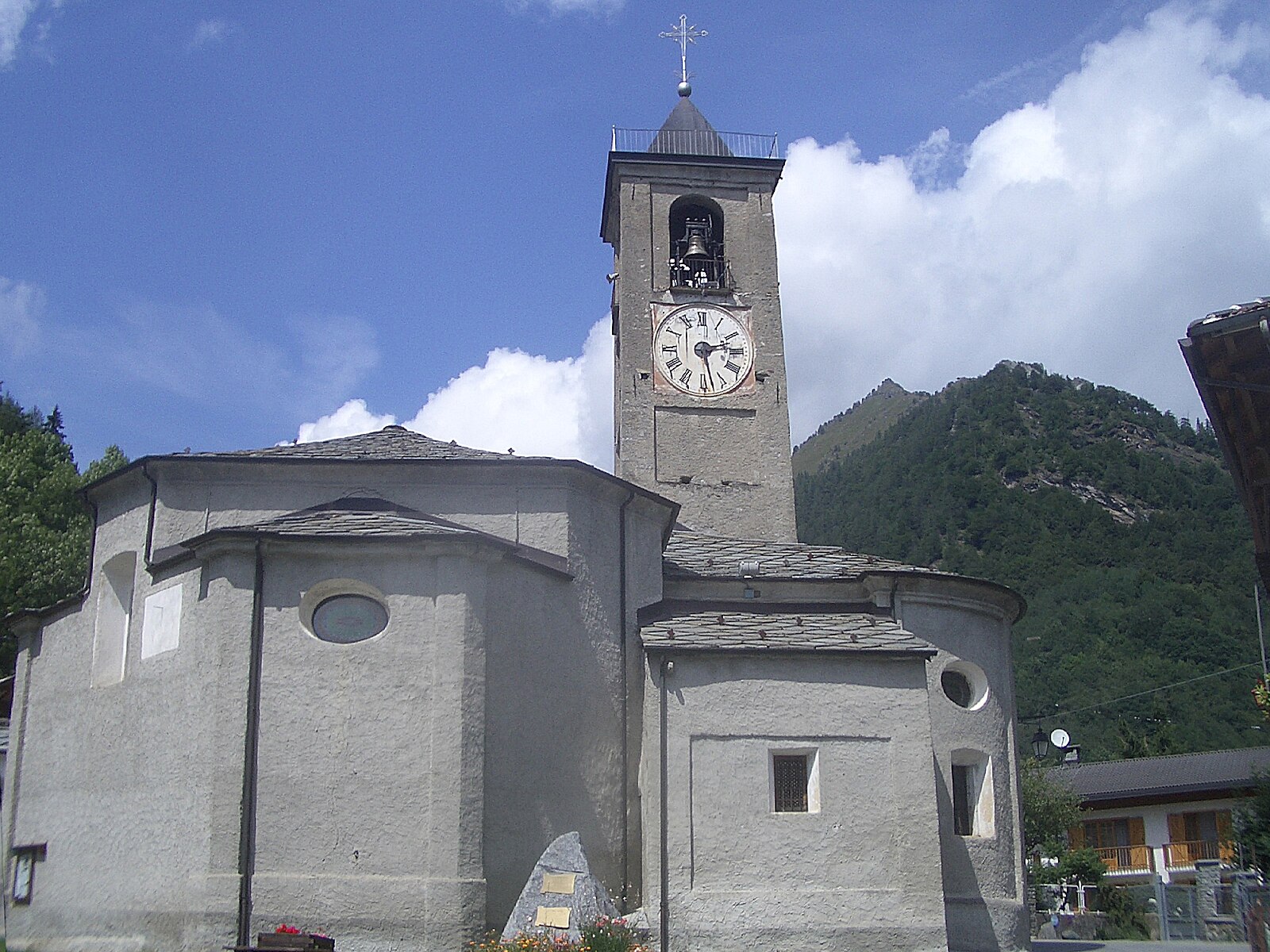
Živá webkamera

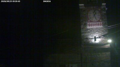
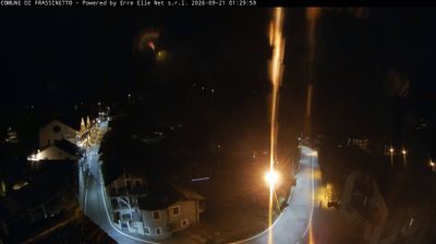
Sněhová zpráva
- Posledních 24h: 0 cm
- Posledních 72h: 0 cm
- Posledních 7 dní: 0 cm
- Posledních 7 dní: Údolí 0cm · Střední část 0cm · Vrchol 0cm
- Sezónní úhrn: 0 cm
Lyžařská střediska otevřená právě teď · Sněhová zpráva
About Valprato Soana
A secluded gateway to Gran Paradiso where rugged stone hamlets and wild ibex define the authentic spirit of the Piedmontese Alps.
Highlights
- Untamed wilderness
- Ancient stone architecture
- Alpine wildlife spotting
- Deep mountain solitude
Key Facts
- Altitude: 1545m
- Top lift: 1638m
- Ski pistes: 1km
- Ski lifts: 1
- Population: 92
- Lakes nearby: 44
- MTB trails: 38.2km
- Mountain huts: 13
Ski Area
Weather and 10-day forecast for Valprato Soana
- Today: 7 to 14 °C, partly cloudy, 5 h of sunshine
- Freezing level today: about 4236 m (4160 to 4370 m)
| Day | Min / max | Sky | Precipitation | Sunshine |
|---|---|---|---|---|
| so 26. 9. | 7 / 14 °C | partly cloudy | dry | 5 h sun |
| ne 27. 9. | 9 / 15 °C | clear sky | dry | 9 h sun |
| po 28. 9. | 11 / 15 °C | clear sky | dry | 8 h sun |
| út 29. 9. | 10 / 13 °C | overcast | dry | 3 h sun |
| st 30. 9. | 8 / 10 °C | fog | dry | 0 h sun |
| čt 1. 10. | 8 / 10 °C | rain | dry | 0 h sun |
| pá 2. 10. | 10 / 14 °C | overcast | dry | 2 h sun |
| so 3. 10. | 8 / 12 °C | drizzle | dry | 7 h sun |
| ne 4. 10. | 8 / 12 °C | drizzle | dry | 6 h sun |
| po 5. 10. | 8 / 12 °C | drizzle | dry | 5 h sun |
Things to do in Valprato Soana
Hikes nearby — Valprato Soana (6)
6 curated hiking trails around Valprato Soana, sourced from OpenStreetMap and enriched with distance, elevation gain and difficulty.
-
Via Alpina Blue D24
-
Via Alpina Blue D23
-
GTA: Piamprato - Ronco Canavese
The route crosses the Colle della Borra — a pass whose very name echoes the tunnels and caves of old mining works — then descends past the Sanctuary of San Besso and through the abandoned hamlet of Andorina, where a Common Ash tree has been designated a monumental tree of Piedmont, before finishing through larch and spruce forest into Ronco Canavese.
-
GTA: Le Fondo - Piamprato
La Grande Traversata delle Alpi (GTA) è un itinerario escursionistico di lunga percorrenza che unisce tutto l'arco alpino occidentale del Piemonte, in Italia, nato ispirato dall'esperienza francese della Grande Traversée des Alpes verso la fine degli anni settanta, che cerca di privilegiare i luoghi meno conosciuti dal turismo di montagna.
-
Alta Via n. 2 della Valle d'Aosta - Tappa 13
Tappa n. 13 - Champorcher (1.422 mt.) - Crest (1.170 mt.)
-
Schiaroglio-Moncimur
Getting to Valprato Soana
Door-to-door travel times as used by the MR. ALPS ranking.
- Nearest airport: Turin Airport (TRN), 41 km away, about 1h21 by road
- Torino: 1h22 by car, 67 km
- Milano: 2h22 by car, 159 km
- Genova: 2h55 by car, 219 km
- Brescia: 3h12 by car, 245 km
- Genève: 3h31 by car, 244 km
- Annecy: 3h41 by car, 256 km