Urnäsch
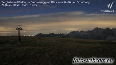
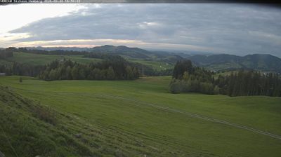
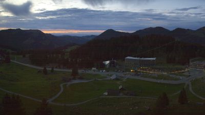
Živá webkamera
Otevřené vleky: 0%
Sněhová zpráva
- Posledních 24h: 0 cm
- Posledních 72h: 0 cm
- Posledních 7 dní: 0 cm
- Posledních 7 dní: Údolí 0cm · Střední část 0cm · Vrchol 0cm
- Sezónní úhrn: 0 cm
Lyžařská střediska otevřená právě teď · Sněhová zpráva
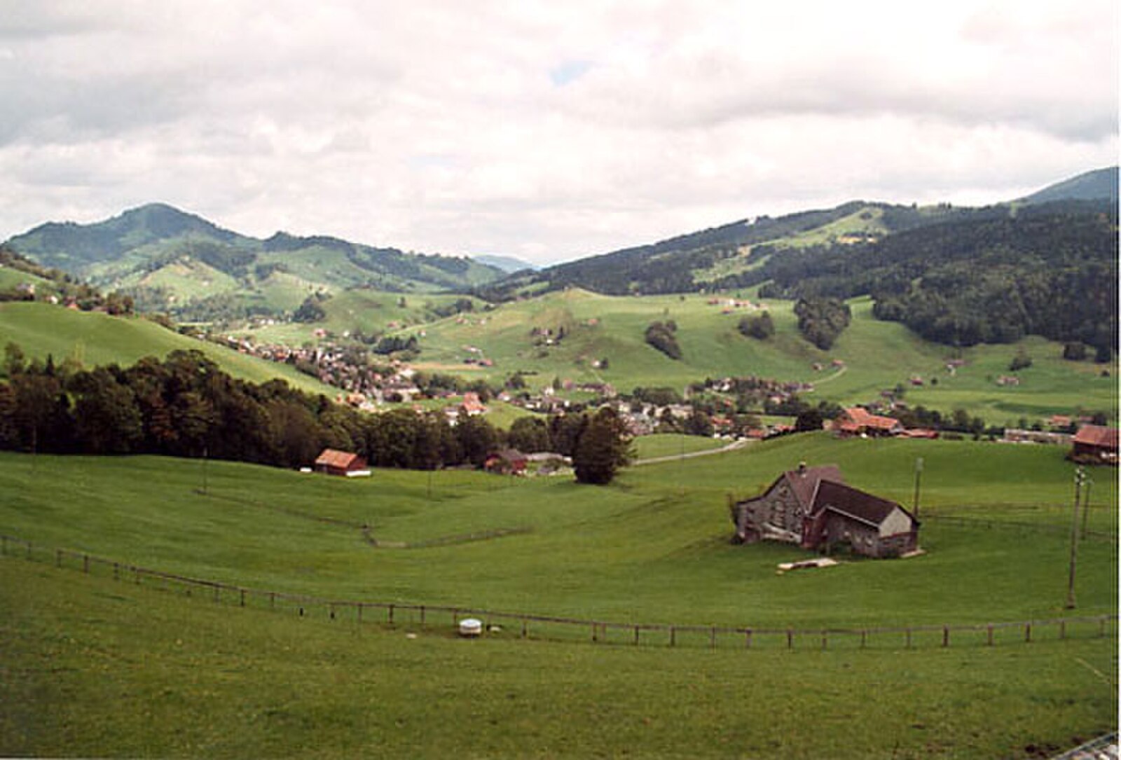
About Urnäsch
A bastion of Appenzell folklore where masked winter rituals and pastoral traditions define the rhythm of local life.
Highlights
- Ancient pagan rituals
- Artisanal cheesemaking
- Traditional folk music
- Rolling green pastures
Key Facts
- Altitude: 1357m
- Top lift: 2473m
- Ski pistes: 10km
- Ski lifts: 1
- Population: 100
- Lakes nearby: 10
- MTB trails: 268.5km
- Mountain huts: 28
Ski Area
Weather and 10-day forecast for Urnäsch
- Today: 8 to 14 °C, overcast, 2 h of sunshine
- Freezing level today: about 3316 m (2700 to 3880 m)
| Day | Min / max | Sky | Precipitation | Sunshine |
|---|---|---|---|---|
| čt 24. 9. | 8 / 14 °C | overcast | dry | 2 h sun |
| pá 25. 9. | 6 / 14 °C | clear sky | dry | 9 h sun |
| so 26. 9. | 9 / 20 °C | clear sky | dry | 12 h sun |
| ne 27. 9. | 11 / 21 °C | clear sky | dry | 12 h sun |
| po 28. 9. | 13 / 22 °C | clear sky | dry | 12 h sun |
| út 29. 9. | 12 / 23 °C | clear sky | dry | 12 h sun |
| st 30. 9. | 12 / 22 °C | clear sky | dry | 12 h sun |
| čt 1. 10. | 13 / 22 °C | overcast | dry | 12 h sun |
| pá 2. 10. | 8 / 14 °C | rain showers | 13 mm rain | 0 h sun |
| so 3. 10. | 7 / 11 °C | drizzle | 3 mm rain | 11 h sun |
Things to do in Urnäsch
Hikes nearby — Urnäsch (20)
20+ curated hiking trails around Urnäsch, sourced from OpenStreetMap and enriched with distance, elevation gain and difficulty.
-
Thurweg
From the Gamplüt gondola station, the trail descends through flowering meadows and Toggenburg villages alongside the Säntisthur — a river whose source lies some 1,200 metres higher on Chalbersäntis — before plunging through the forested Chammerlitobel to reach the thundering Thur Falls. The route then passes through ravines and drops past the three Giessen Falls just before Nesslau.
-
Ofenloch-Weg
-
Alpenpanorama-Weg
-
Säntis - Höchnideri
-
Langenbüel - Rotsteinpass
-
Öhrligrueb - Schwizerälpli
-
Säntis - Mesmer
-
Meglisalp - Wagenlücke
-
Mesmer Nord
-
Öhrligrueb - Schäfler
-
Jöchli Atmann
-
Hädern - Altmannsattel
-
ViaJacobi
-
Neckertaler Höhenweg
-
Alpenpanorama-Weg
-
Appenzeller Alpenweg: Schwägalp - Urnäsch
-
Alpenpanorama-Weg: Schwägalp - Stein
-
Gamplüt-Säntis-Weg
-
Appenzeller Alpenweg: Urnäsch - Schwägalp
-
Alpenpanorama-Weg: Tourist Information - Schwägalp
Mountain biking near Urnäsch
- Potersalp-Route
- Panorama Bike - Etappe 3
- Route Scheidegg
- Tesel-Gruebe-Zwinglipass
- Eugststrasse
- Laufteggstrasse
Getting to Urnäsch
Door-to-door travel times as used by the MR. ALPS ranking.
- Nearest airport: Zürich Airport (ZRH), 62 km away, about 1h24 by road
- Zürich: 1h21 by car, 92 km
- Luzern: 1h40 by car, 115 km
- Basel: 2h18 by car, 179 km
- Biel/Bienne: 2h44 by car, 216 km
- Bern: 2h45 by car, 218 km
- Innsbruck: 2h56 by car, 212 km
Where to stay in Urnäsch
123 places to stay for a night on 2026-09-25, from 230 EUR per night, median 330 EUR. Prices are direct with hotels and destinations, compared live on the Urnäsch page.