Tignes
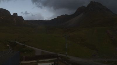
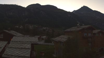
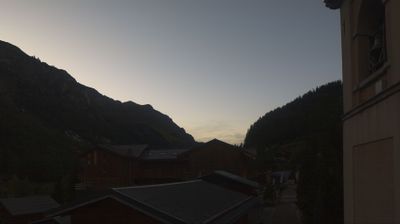
Živá webkamera
Otevřené vleky: 0/80
Sněhová zpráva
- Posledních 24h: 0 cm
- Posledních 72h: 0 cm
- Posledních 7 dní: 0 cm
- Posledních 7 dní: Údolí 0cm · Střední část 0cm · Vrchol 0cm
- Sezónní úhrn: 12.2 cm
Lyžařská střediska otevřená právě teď · Sněhová zpráva
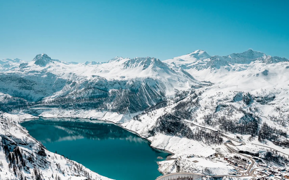
About Tignes
A high-altitude village at 1,550m within the Savoie region, bordering the Vanoise National Park. During the shoulder seasons, the expansive 305km piste network transitions into quiet, uncrowded hiking trails for those seeking isolation.
Highlights
- Grande Motte glacier
- Snow-sure
- Freestyle parks
- Summer skiing
- High-altitude terrain
- Glacier skiing
- Brutalist architecture
- Extreme sports culture
Key Facts
- Altitude: 2100m
- Top lift: 3460m
- Ski pistes: 305km
- Ski lifts: 76
- Population: 1,953
- Lakes nearby: 39
- MTB trails: 152.3km
- Mountain huts: 23
Ski Area
Zahrnuto v těchto sezonních permanentkách
Weather and 10-day forecast for Tignes
- Today: 3 to 9 °C, clear sky, 12 h of sunshine
- Freezing level today: about 4361 m (4110 to 4560 m)
| Day | Min / max | Sky | Precipitation | Sunshine |
|---|---|---|---|---|
| st 23. 9. | 3 / 9 °C | clear sky | dry | 12 h sun |
| čt 24. 9. | 3 / 11 °C | partly cloudy | dry | 4 h sun |
| pá 25. 9. | 3 / 11 °C | clear sky | dry | 7 h sun |
| so 26. 9. | 4 / 13 °C | clear sky | dry | 12 h sun |
| ne 27. 9. | 4 / 14 °C | clear sky | dry | 11 h sun |
| po 28. 9. | 4 / 14 °C | rain showers | dry | 5 h sun |
| út 29. 9. | 6 / 14 °C | clear sky | dry | 12 h sun |
| st 30. 9. | 5 / 14 °C | partly cloudy | dry | 7 h sun |
| čt 1. 10. | 0 / 12 °C | partly cloudy | dry | 4 h sun |
| pá 2. 10. | -1 / 6 °C | drizzle | dry | 7 h sun |
Things to do in Tignes
Hikes nearby — Tignes (9)
9 curated hiking trails around Tignes, sourced from OpenStreetMap and enriched with distance, elevation gain and difficulty.
-
L'Aiguille Percée
A loop through the Vanoise National Park departing from the Tignes ski resort, this route can be accessed via the Palafour Chairlift and leads to the summit of L'Aiguille Percée — a pierced rock needle that gives the trail its name.
-
Via Alpina Red R122
Le Lac de Tignes - Refuge de La Leisse
-
Via Alpina Red R121
Le Monal - Le Lac de Tignes
-
Grand Tour de Tarentaise - 1. Val d'Isère -> Col du Palet
-
Grand Tour de Tarentaise - 3. Le Monal -> Le Villaret du Nial
-
Grand Tour de Tarentaise - 4. Le Villaret du Nial -> Val d'Isère
-
Grand Tour de Tarentaise - 2. Refuge du Col du Palet -> Champagny-le-Haut
-
PARCOURS N°11 | LACS DU CHARDONNET
-
GR 55 La Vanoise
Mountain biking near Tignes
- Val Pesto
- Smoothie
- Wonderboisses
- Jump Around
- E-Zyride
- Sentier Balcon
- Gypsy
- DH Gypsy
Getting to Tignes
Door-to-door travel times as used by the MR. ALPS ranking.
- Nearest airport: Geneva International Airport (GVA), 105 km away, about 2h54 by road
- Chambéry: 1h56 by car, 134 km
- Grenoble: 2h20 by car, 165 km
- Annecy: 2h20 by car, 131 km
- Torino: 2h39 by car, 153 km
- Genève: 2h53 by car, 166 km
- Lyon: 3h06 by car, 231 km
Where to stay in Tignes
173 places to stay for a night on 2026-09-11, from 145 EUR per night, median 310 EUR. Prices are direct with hotels and destinations, compared live on the Tignes page.