Tarvisio – Monte Lussari
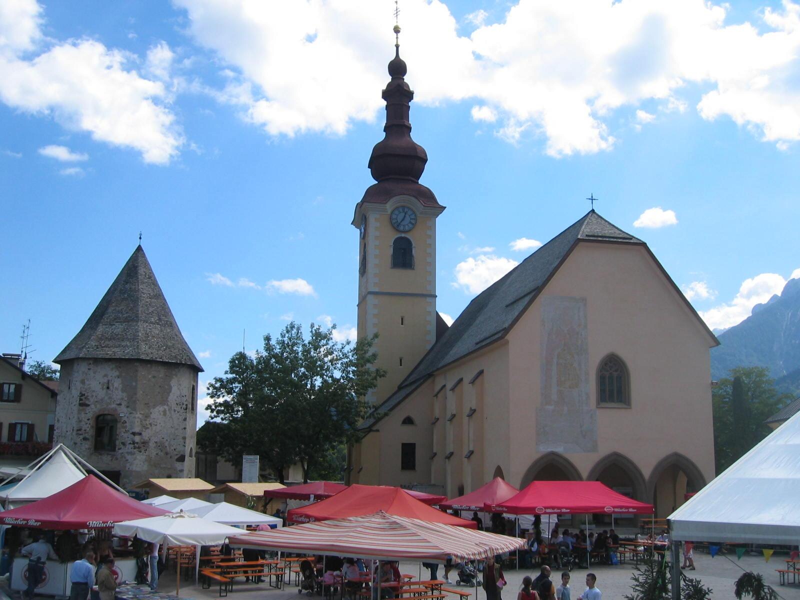
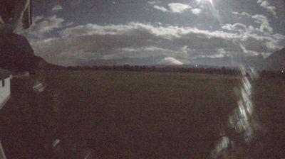
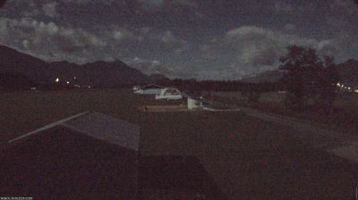
Živá webkamera

Otevřené vleky: 0/13
Sněhová zpráva
- Posledních 24h: 0 cm
- Posledních 72h: 0 cm
- Posledních 7 dní: 0 cm
- Posledních 7 dní: Údolí 0cm · Střední část 0cm · Vrchol 0cm
- Sezónní úhrn: 0 cm
Lyžařská střediska otevřená právě teď · Sněhová zpráva
About Tarvisio – Monte Lussari
A spiritual border-crossing where Italian, Slavic, and Austrian cultures meet atop a sanctuary peak overlooking the Julian Alps.
Highlights
- Tri-border heritage
- Mountaintop sanctuary
- Deep forest trails
- Hearty Friulian cuisine
Key Facts
- Altitude: 808m
- Top lift: 1752m
- Ski pistes: 23km
- Ski lifts: 13
- Population: 3,966
- Lakes nearby: 6
- MTB trails: 177.3km
- Mountain huts: 23
Ski Area
Weather and 10-day forecast for Tarvisio – Monte Lussari
- Today: 4 to 12 °C, clear sky, 12 h of sunshine
- Freezing level today: about 2832 m (2050 to 3700 m)
| Day | Min / max | Sky | Precipitation | Sunshine |
|---|---|---|---|---|
| pá 25. 9. | 4 / 12 °C | clear sky | dry | 12 h sun |
| so 26. 9. | 5 / 15 °C | clear sky | dry | 12 h sun |
| ne 27. 9. | 7 / 16 °C | clear sky | dry | 11 h sun |
| po 28. 9. | 7 / 16 °C | partly cloudy | dry | 8 h sun |
| út 29. 9. | 8 / 15 °C | partly cloudy | dry | 5 h sun |
| st 30. 9. | 7 / 14 °C | partly cloudy | dry | 7 h sun |
| čt 1. 10. | 4 / 14 °C | clear sky | dry | 9 h sun |
| pá 2. 10. | 3 / 12 °C | clear sky | dry | 9 h sun |
| so 3. 10. | 4 / 15 °C | partly cloudy | dry | 3 h sun |
| ne 4. 10. | 3 / 15 °C | partly cloudy | dry | 5 h sun |
Things to do in Tarvisio – Monte Lussari
Hikes nearby — Tarvisio – Monte Lussari (17)
17 curated hiking trails around Tarvisio – Monte Lussari, sourced from OpenStreetMap and enriched with distance, elevation gain and difficulty.
-
Romea Strata in Italia - Tappa RSIT01
-
Alpe Adria Trail R4
-
Via Alpina Red R16
Thörl Maglern-Feistritzer Alm
-
Alpe Adria Trail R3
-
Alpe Adria Trail R5
From Tarvisio, this stage winds through to the Fusine lakes and the Zacchi refuge, set against sweeping views of the Ponze and Julian Alps.
-
Romea Strata in Italia - Tappa RSIT02
-
Jakobova pot – Gorenjska veja
-
Cammino Celeste Italia - 10 Camporosso - Monte Lussari
-
Südalpenweg 03 - Etappe 18
Thörl-Maglern - Dolinzaalm
-
Cammino Celeste Italia - 9 Dogna - Camporosso
-
Vertikala SPDT - 1. Pot dr. Alojza Dolharja
-
Anello di Fondovalle
-
Sentiero del Pellegrino
The Sentiero del Pellegrino climbs through the millenary forest of Tarvisio on its way to a sanctuary perched at 1,789 metres, where the rock walls of Jof di Montasio, Jof Fuart, and Mangart fill the horizon. This is a borderland path in the truest sense, threading through the meeting point of Latin, Slavic, and Germanic worlds at the junction of the Carnic and Julian Alps.
-
Lynx Trail
-
Sentiero dei pellegrini
Stezka se vine lesy Tarvisijského lesa a stoupá k Svatyni Madony z Lussari — poutnímu místu, které již dlouho sdílejí italští, slovanští a němečtí věřící — tyčící se ve výšce 1 662 m s výhledem přes Julské Alpy.
-
Sentiero delle Croci
-
Urban Nature trekking biodiversità
Mountain biking near Tarvisio – Monte Lussari
- SICAI Ciclo
- Arlecchino trail
Getting to Tarvisio – Monte Lussari
Door-to-door travel times as used by the MR. ALPS ranking.
- Nearest airport: Klagenfurt Airport (KLU), 63 km away, about 55 min by road
- Graz: 2h27 by car, 205 km
- Padova: 2h32 by car, 243 km
- Verona: 3h21 by car, 325 km
- Bologna: 3h41 by car, 357 km
- Bolzano - Bozen: 3h43 by car, 241 km
- München: 3h52 by car, 354 km
Where to stay in Tarvisio – Monte Lussari
125 places to stay for a night on 2026-09-25, from 145 EUR per night, median 193 EUR. Prices are direct with hotels and destinations, compared live on the Tarvisio – Monte Lussari page.