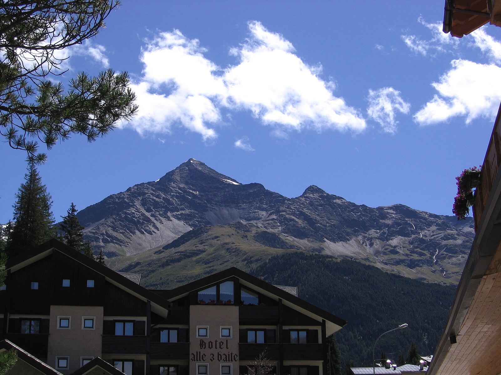
Santa Caterina Valfurva
Živá webkamera



Otevřené vleky: 0/9
Sněhová zpráva
- Posledních 24h: 0 cm
- Posledních 72h: 0 cm
- Posledních 7 dní: 0 cm
- Posledních 7 dní: Údolí 0cm · Střední část 0cm · Vrchol 0cm
- Sezónní úhrn: 5.7 cm
Lyžařská střediska otevřená právě teď · Sněhová zpráva
About Santa Caterina Valfurva
A rugged, high-altitude sanctuary where serious skiers escape the crowds for steep, wooded runs and authentic Valtellina hospitality.
Highlights
- Technical forest runs
- Stelvio wilderness access
- Traditional stone architecture
- Uncrowded mountain slopes
Key Facts
- Altitude: 1722m
- Top lift: 2880m
- Ski pistes: 20km
- Ski lifts: 5
- Population: 214
- Lakes nearby: 12
- MTB trails: 88.5km
- Mountain huts: 23
Ski Area
Weather and 10-day forecast for Santa Caterina Valfurva
- Today: 2 to 12 °C, clear sky, 11 h of sunshine
- Freezing level today: about 3553 m (2770 to 4230 m)
| Day | Min / max | Sky | Precipitation | Sunshine |
|---|---|---|---|---|
| pá 25. 9. | 2 / 12 °C | clear sky | dry | 11 h sun |
| so 26. 9. | 6 / 16 °C | clear sky | dry | 12 h sun |
| ne 27. 9. | 7 / 15 °C | clear sky | dry | 12 h sun |
| po 28. 9. | 8 / 16 °C | rain showers | dry | 6 h sun |
| út 29. 9. | 8 / 16 °C | clear sky | dry | 11 h sun |
| st 30. 9. | 8 / 15 °C | overcast | dry | 3 h sun |
| čt 1. 10. | 4 / 12 °C | partly cloudy | dry | 5 h sun |
| pá 2. 10. | 4 / 10 °C | drizzle | dry | 8 h sun |
| so 3. 10. | 4 / 9 °C | drizzle | dry | 0 h sun |
| ne 4. 10. | 1 / 11 °C | drizzle | dry | 0 h sun |
Things to do in Santa Caterina Valfurva
Hikes nearby — Santa Caterina Valfurva (7)
7 curated hiking trails around Santa Caterina Valfurva, sourced from OpenStreetMap and enriched with distance, elevation gain and difficulty.
-
Ciclovia dell'Energia - Percorso Arancio
Hiking Relation
-
Sentiero Glaciologico Alto
-
Sentiero Panoramico
The Sentiero Panoramico (trail n° 528) threads through Val Cedec inside the Parco Nazionale dello Stelvio, connecting the Rifugio Ghiacciaio dei Forni with the Rifugio Pizzini-Frattola along a route that passes the casermette at 2,547 m — barracks where numerous largely unknown traces of the First World War remain hidden in the landscape. The path also skirts the rocky crests above the Zebrù valley, with the military village near Cima Zebrù at 2,877 m visible to those who push further south along the ridge.
-
Pedemontana della Reit
-
Cammino Mariano delle Alpi - Via Orientale - Tappa 1
-
Dreifernerweg
-
Cammino Mariano delle Alpi - Via Orientale
Mountain biking near Santa Caterina Valfurva
- Sentiero "La Romantica" 561
- Sorgenti
- Selvaggio Verde
Getting to Santa Caterina Valfurva
Door-to-door travel times as used by the MR. ALPS ranking.
- Nearest airport: Il Caravaggio International Airport (BGY), 102 km away, about 2h49 by road
- Bolzano - Bozen: 2h26 by car, 138 km
- Brescia: 2h47 by car, 162 km
- Trento: 2h55 by car, 189 km
- Innsbruck: 3h04 by car, 199 km
- Milano: 3h21 by car, 207 km
- Verona: 3h27 by car, 227 km
Where to stay in Santa Caterina Valfurva
78 places to stay for a night on 2026-09-25, from 98 EUR per night, median 166 EUR. Prices are direct with hotels and destinations, compared live on the Santa Caterina Valfurva page.