Ristolas
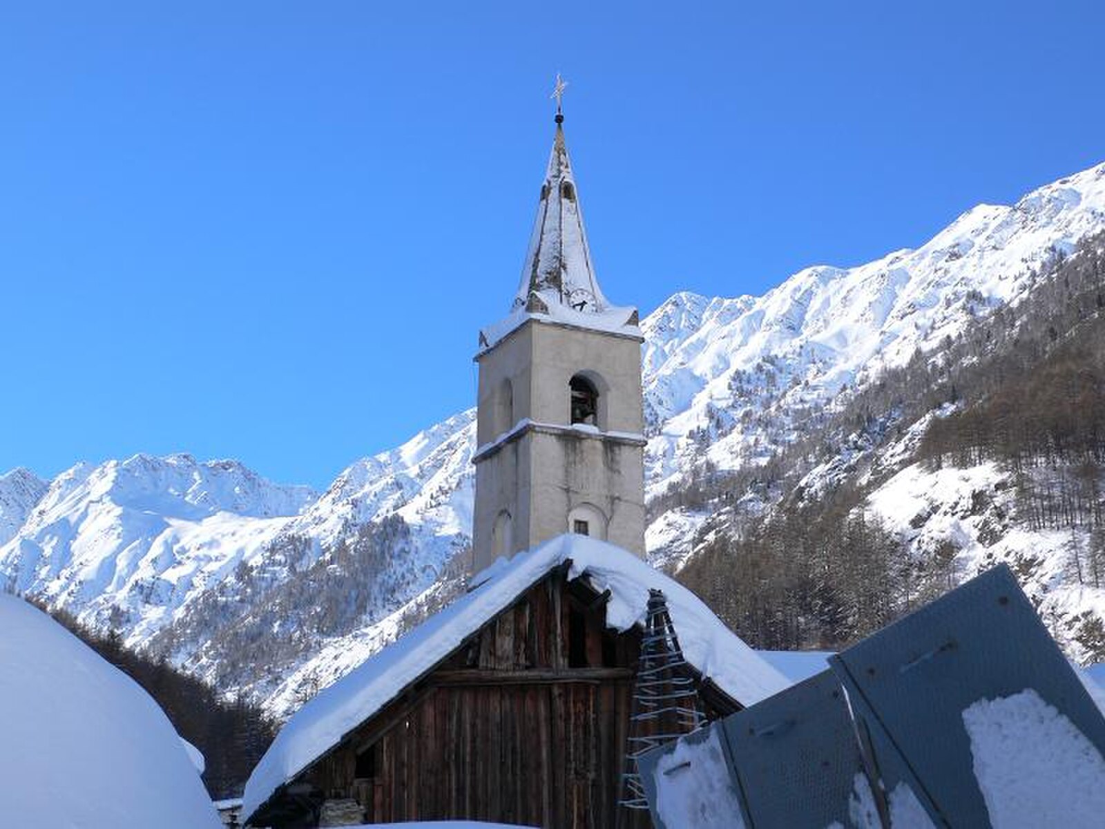
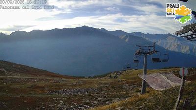
Živá webkamera
Otevřené vleky: 0%
Sněhová zpráva
- Posledních 24h: 0 cm
- Posledních 72h: 0 cm
- Posledních 7 dní: 0 cm
- Posledních 7 dní: Údolí 0cm · Střední část 0cm · Vrchol 0cm
- Sezónní úhrn: 0 cm
Lyžařská střediska otevřená právě teď · Sněhová zpráva
About Ristolas
A secluded sanctuary in the Queyras, where the road ends and untamed wilderness meets a handful of quiet, sun-baked stone houses.
Highlights
- Pristine nature reserve
- Nordic skiing trails
- End-of-the-world charm
- High-altitude biodiversity
Key Facts
- Altitude: 1612m
- Top lift: 1648m
- Ski pistes: 1km
- Ski lifts: 2
- Population: 97
- Lakes nearby: 15
- MTB trails: 246km
- Mountain huts: 23
Ski Area
Weather and 10-day forecast for Ristolas
- Today: 9 to 20 °C, clear sky, 11 h of sunshine
- Freezing level today: about 4424 m (4180 to 4620 m)
| Day | Min / max | Sky | Precipitation | Sunshine |
|---|---|---|---|---|
| st 23. 9. | 9 / 20 °C | clear sky | dry | 11 h sun |
| čt 24. 9. | 8 / 23 °C | overcast | dry | 3 h sun |
| pá 25. 9. | 8 / 23 °C | clear sky | dry | 8 h sun |
| so 26. 9. | 10 / 22 °C | clear sky | dry | 12 h sun |
| ne 27. 9. | 8 / 21 °C | clear sky | dry | 9 h sun |
| po 28. 9. | 7 / 18 °C | partly cloudy | dry | 5 h sun |
| út 29. 9. | 11 / 15 °C | clear sky | dry | 9 h sun |
| st 30. 9. | 9 / 14 °C | partly cloudy | dry | 7 h sun |
| čt 1. 10. | 9 / 12 °C | drizzle | dry | 1 h sun |
| pá 2. 10. | 5 / 12 °C | overcast | dry | 4 h sun |
Things to do in Ristolas
Hikes nearby — Ristolas (15)
15 curated hiking trails around Ristolas, sourced from OpenStreetMap and enriched with distance, elevation gain and difficulty.
-
PR Étang de Moussou
-
Via Alpina Blue D43
-
Tour du Queyras
A loop through the Queyras Regional Natural Park — where larch forests give way to high passes with views across to Italy's Monte Viso — the route passes centuries-old sundials and villages that people still farm and inhabit, remnants of the historic "Republic of Escartons." The terrain shifts from cool mountain torrents to sun-baked exposed hillsides and wind-scoured peaks, all within a region that claims 300 days of sunshine a year.
-
Les Maisons Neuves - Pont de Rubrent
-
Piste de Ségure - Le Plan de l'Alpe
The trail climbs through forest past old larch trees and martagon lilies into the tight Ségure valley, opening onto alpine pastures before reaching a small mountain lake at the foot of Pic Ségure — where, on a clear day, the Grand Queyras fills the horizon.
-
La Monta - Crête de Gilly
-
Carrefour sous le col - La Monta
-
Carrefour sous le col - L'Echalp Village
-
Forêt de Marassan - Pont de Guillestre
-
Prés du Bois de la Brune - Torrent du Bouchet
-
Lac Égorgéou - Ravin Souches du Colombier
-
Malaure - Valpréveyre
-
Via Alpina Blue D42
-
Via Alpina Blue D44
-
Via Alpina Blue D46
Mountain biking near Ristolas
- Ris'tourne
- La Varensc
- La Peymian
- Chemin de la Vignette
Getting to Ristolas
Door-to-door travel times as used by the MR. ALPS ranking.
- Nearest airport: Cuneo International Airport (CUF), 59 km away, about 2h07 by road
- Torino: 2h52 by car, 163 km
- Grenoble: 3h07 by car, 169 km
- Chambéry: 3h19 by car, 212 km
- Marseille: 3h33 by car, 266 km
- Genova: 3h47 by car, 245 km
- Annecy: 3h51 by car, 259 km
Where to stay in Ristolas
13 places to stay for a night on 2026-09-25, from 133 EUR per night, median 143 EUR. Prices are direct with hotels and destinations, compared live on the Ristolas page.